
| Memorials | : | 4 |
| Location | : | Nelson County, USA |
| Coordinate | : | 37.9472810, -85.1834820 |
frequently asked questions (FAQ):
-
Where is Green's Chapel United Methodist Church Cemetery?
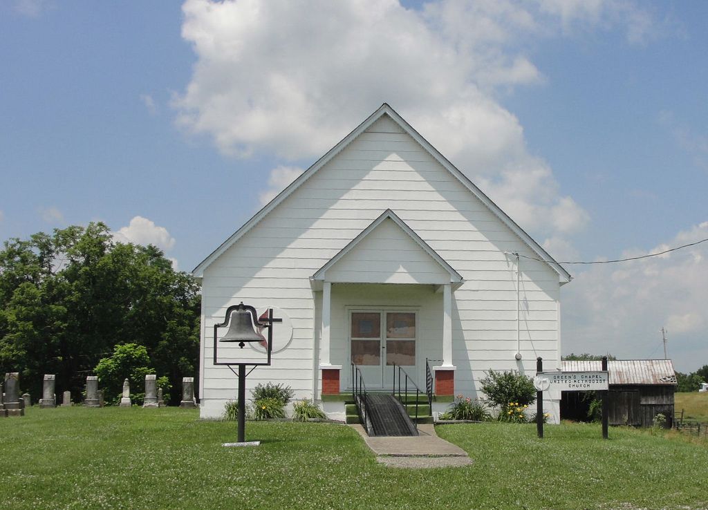
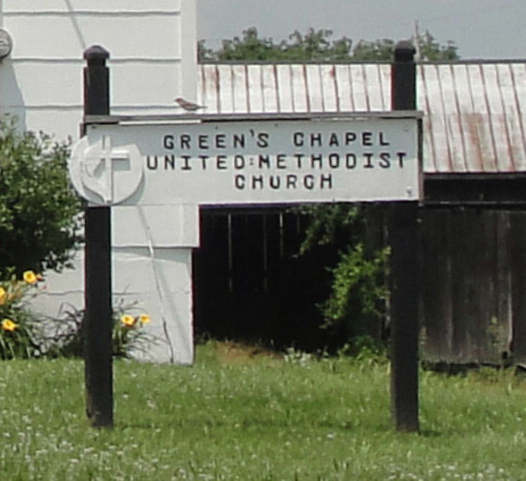
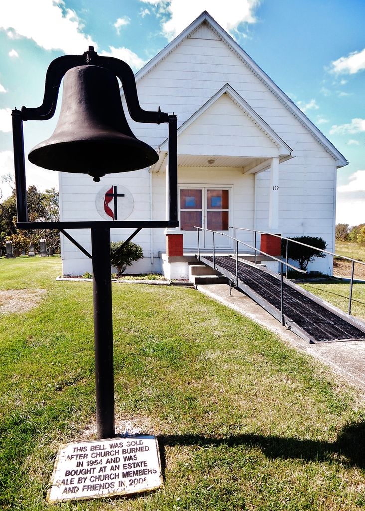
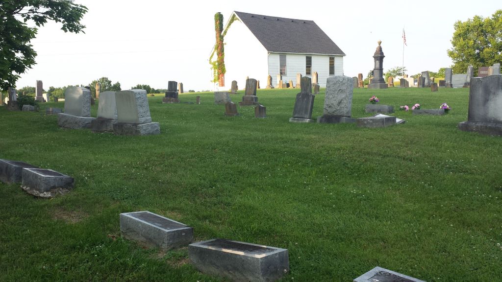
Green's Chapel United Methodist Church Cemetery is located at Nelson County ,Kentucky ,USA.
-
Green's Chapel United Methodist Church Cemetery cemetery's updated grave count on graveviews.com?
4 memorials
-
Where are the coordinates of the Green's Chapel United Methodist Church Cemetery?
Latitude: 37.9472810
Longitude: -85.1834820
Nearby Cemetories:
1. Jordan Calvert Family Cemetery
Chaplin, Nelson County, USA
Coordinate: 37.9333350, -85.1883630
2. Fairmount Cemetery
Nelson County, USA
Coordinate: 37.9270350, -85.1590200
3. Chaplin Fork Baptist Cemetery
Chaplin, Nelson County, USA
Coordinate: 37.9094390, -85.2018150
4. Foster Cemetery
Chaplin, Nelson County, USA
Coordinate: 37.9588690, -85.2374630
5. New Liberty Christian Church Cemetery
Lawrenceburg, Anderson County, USA
Coordinate: 37.9478400, -85.1202900
6. Price Cemetery
Nelson County, USA
Coordinate: 37.8978004, -85.1682968
7. Old Methodist Cemetery
Chaplin, Nelson County, USA
Coordinate: 37.8993020, -85.2378320
8. Highview Cemetery
Chaplin, Nelson County, USA
Coordinate: 37.8981018, -85.2369003
9. Heady Family Cemetery
Nelson County, USA
Coordinate: 37.9451065, -85.2679138
10. Pleasant Grove Baptist Church Cemetery
Anderson County, USA
Coordinate: 38.0043488, -85.1110229
11. Leathers Cemetery
Klondyke, Anderson County, USA
Coordinate: 37.9508018, -85.0753021
12. Shely Family Cemetery
Klondyke, Anderson County, USA
Coordinate: 37.9663670, -85.0730830
13. Pennys Chapel Cemetery
Anderson City, Anderson County, USA
Coordinate: 37.9314995, -85.0717697
14. Poulter-King Family Cemetery
Klondyke, Anderson County, USA
Coordinate: 37.9299876, -85.0713383
15. Leathers Graveyard
Anderson County, USA
Coordinate: 37.9269530, -85.0714180
16. Friendship Baptist Church Cemetery
Sinai, Anderson County, USA
Coordinate: 37.9573240, -85.0651240
17. Cranfill Cemetery
Anderson County, USA
Coordinate: 37.9667702, -85.0646820
18. Big Spring Cemetery
Bloomfield, Nelson County, USA
Coordinate: 37.9368110, -85.3072070
19. Best Cemetery
Anderson County, USA
Coordinate: 38.0172005, -85.0950012
20. Maple Grove Cemetery
Bloomfield, Nelson County, USA
Coordinate: 37.9157982, -85.3153000
21. Old Bloomfield Cemetery
Bloomfield, Nelson County, USA
Coordinate: 37.9155260, -85.3157150
22. Eli H Brown Farm Cemetery
Bloomfield, Nelson County, USA
Coordinate: 37.9029630, -85.3116610
23. Leven Green Cemetery
Nelson County, USA
Coordinate: 37.8965920, -85.3083290
24. Bloomfield Baptist Church Cemetery
Bloomfield, Nelson County, USA
Coordinate: 37.9115120, -85.3166270