
| Memorials | : | 1 |
| Location | : | East Point, Johnson County, USA |
| Coordinate | : | 37.7447280, -82.8116050 |
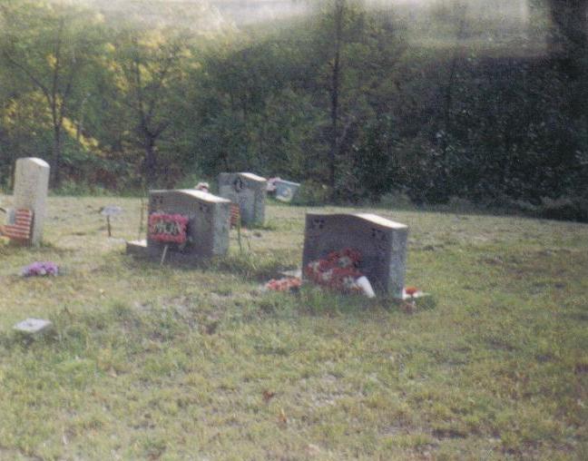
| Description | : | The name of this cemetery is the Arms Cemetery and is noted as same in the Johnson County, KY cemetery book; however, it as also been named the Elijah B Arms cemetery as to not to confuse it with other Arms Cemetery listings. |
frequently asked questions (FAQ):
-
Where is Elijab B. Arms Cemetery?
Elijab B. Arms Cemetery is located at Located on Bear Hollow Road/Greer Branch East Point, Johnson County ,Kentucky ,USA.
-
Elijab B. Arms Cemetery cemetery's updated grave count on graveviews.com?
1 memorials
-
Where are the coordinates of the Elijab B. Arms Cemetery?
Latitude: 37.7447280
Longitude: -82.8116050
Nearby Cemetories:
1. John D Music Cemetery
East Point, Johnson County, USA
Coordinate: 37.7530260, -82.8009610
2. East Point Cemetery
East Point, Johnson County, USA
Coordinate: 37.7333260, -82.8218070
3. Walker Hayden Family Cemetery
East Point, Johnson County, USA
Coordinate: 37.7333260, -82.8218079
4. Blair Cemetery
Johnson County, USA
Coordinate: 37.7514000, -82.8281021
5. Adams Cemetery
East Point, Johnson County, USA
Coordinate: 37.7594430, -82.8209060
6. Auxier Cemetery #1
Johnson County, USA
Coordinate: 37.7483360, -82.7831970
7. Nathaniel Auxier Cemetery
Hagerhill, Johnson County, USA
Coordinate: 37.7523040, -82.7821980
8. Fishbaugh Cemetery
East Point, Johnson County, USA
Coordinate: 37.7636860, -82.8321020
9. Conley Cemetery
Johnson County, USA
Coordinate: 37.7682991, -82.8277969
10. Samuel Auxier
Hagerhill, Johnson County, USA
Coordinate: 37.7435370, -82.7688410
11. Auxier Cemetery #5
Hagerhill, Johnson County, USA
Coordinate: 37.7434700, -82.7688330
12. Hagerhill Cemetery
Hagerhill, Johnson County, USA
Coordinate: 37.7802000, -82.7958520
13. Howell-Griffith Cemetery
Hagerhill, Johnson County, USA
Coordinate: 37.7801980, -82.7958360
14. Auxier-Webb Cemetery
Hagerhill, Johnson County, USA
Coordinate: 37.7804380, -82.7961800
15. John P. M. Rice Cemetery
Collista, Johnson County, USA
Coordinate: 37.7835600, -82.8256000
16. Wells Cemetery
Auxier, Floyd County, USA
Coordinate: 37.7338630, -82.7612640
17. Bayes Branch Cemetery
Bays Branch, Floyd County, USA
Coordinate: 37.7233200, -82.7666600
18. Jack Rice Cemetery
Collista, Johnson County, USA
Coordinate: 37.7843270, -82.8275020
19. Childers Family Cemetery
Auxier, Floyd County, USA
Coordinate: 37.7393278, -82.7580566
20. Ratliff Cemetery
Denver, Johnson County, USA
Coordinate: 37.7762200, -82.8482300
21. Ellis Ratliff Cemetery
Denver, Johnson County, USA
Coordinate: 37.7762420, -82.8482250
22. Hampton Cemetery
Johnson County, USA
Coordinate: 37.7860985, -82.7957993
23. Collins Cemetery #3
Auxier, Floyd County, USA
Coordinate: 37.7324371, -82.7589569
24. Denver Hill Cemetery
Denver, Johnson County, USA
Coordinate: 37.7740200, -82.8540940