| Memorials | : | 3 |
| Location | : | Elijah, Ozark County, USA |
| Coordinate | : | 36.6116982, -92.1456985 |
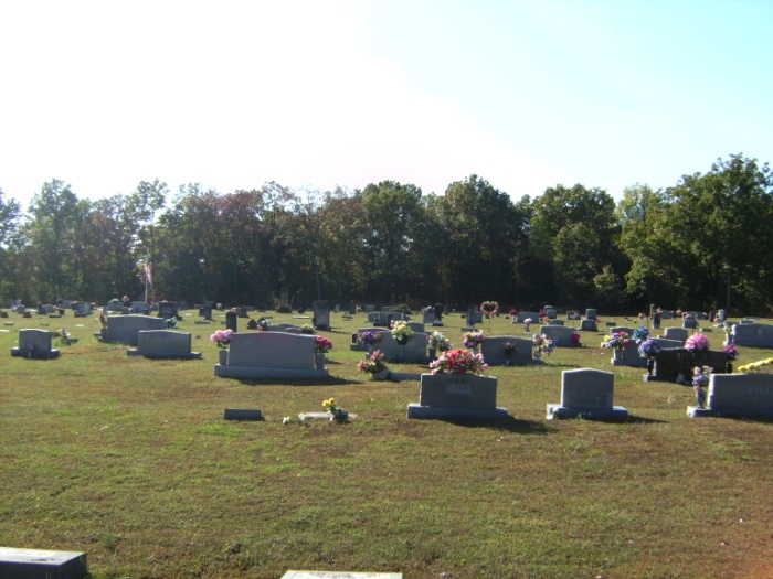
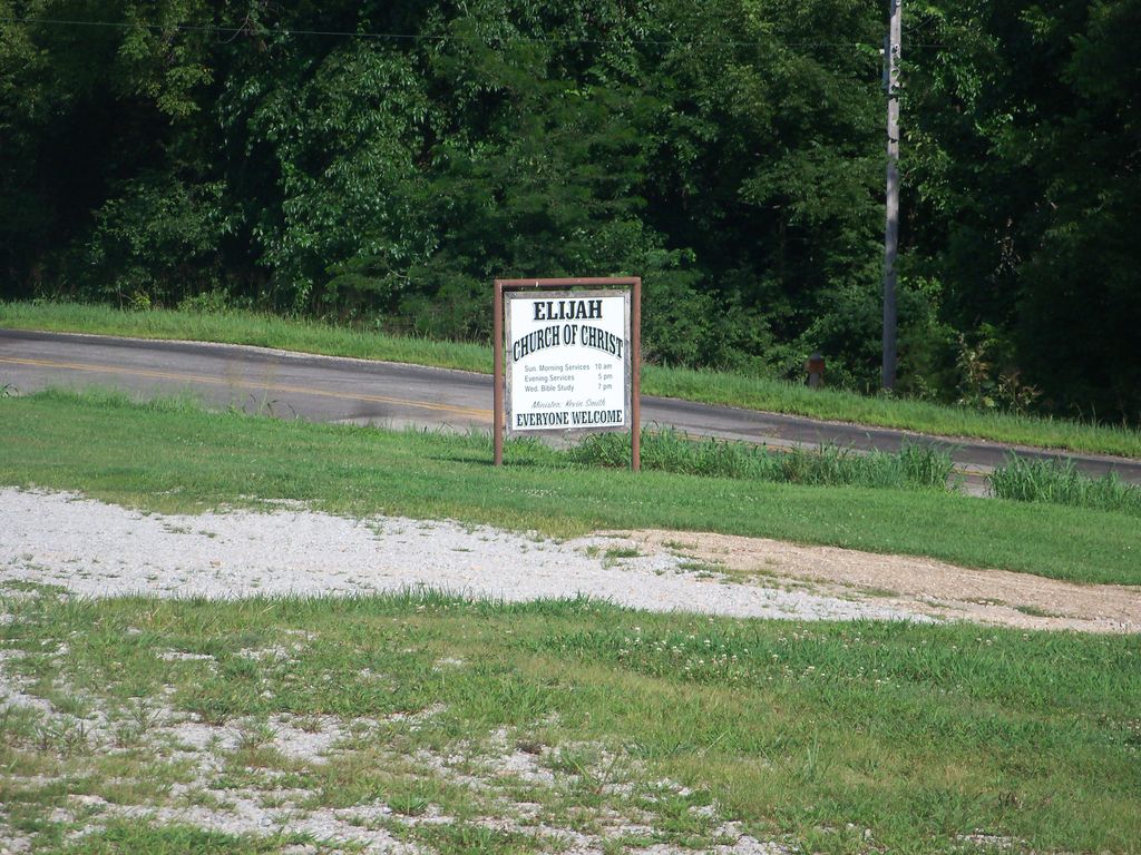
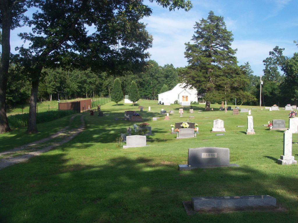
| Description | : | On November 23, 1885, Peter and Frances Spoon donated approximately one and one half acres for school, church and cemetery purposes in a small Missouri community. Twenty years later at the same location George S. Harden established a post office which he named for his young son "Elijah." On the land that was donated by the Spoon family, a log building was soon built. The Church of Christ of Elijah met in this cabin from 1885 until the log structure burned in 1916. During these first years, the church became known as the "Elijah Church of Christ." After fire destroyed the... Read More |
frequently asked questions (FAQ):
-
Where is Elijah Church of Christ Cemetery?
Elijah Church of Christ Cemetery is located at Elijah, Ozark County ,Missouri ,USA.
-
Elijah Church of Christ Cemetery cemetery's updated grave count on graveviews.com?
3 memorials
-
Where are the coordinates of the Elijah Church of Christ Cemetery?
Latitude: 36.6116982
Longitude: -92.1456985
Nearby Cemetories:
1. Baptist Hill Cemetery
Elijah, Ozark County, USA
Coordinate: 36.5782200, -92.1701100
2. Marshall Cemetery
Elijah, Ozark County, USA
Coordinate: 36.6469002, -92.1678009
3. Fowler Cemetery
Caulfield, Howell County, USA
Coordinate: 36.6116982, -92.0864029
4. Setzer Cemetery
Howell County, USA
Coordinate: 36.6405983, -92.0802994
5. White Oak Cemetery
Ozark County, USA
Coordinate: 36.6021996, -92.2253036
6. Oak Mound Cemetery
Oak Mound, Ozark County, USA
Coordinate: 36.6814003, -92.1793976
7. Big Springs Cemetery
Caulfield, Howell County, USA
Coordinate: 36.5783005, -92.0610962
8. Bakersfield Cemetery
Bakersfield, Ozark County, USA
Coordinate: 36.5292015, -92.1388016
9. Cureall Cemetery
Cureall, Howell County, USA
Coordinate: 36.6713982, -92.0653000
10. Mount Pleasant Cemetery
Udall, Ozark County, USA
Coordinate: 36.5517400, -92.2316800
11. James Cemetery
Tecumseh, Ozark County, USA
Coordinate: 36.6255300, -92.2603800
12. Woods Cemetery
Ozark County, USA
Coordinate: 36.6842003, -92.2232971
13. Shady Grove Cemetery
Moody, Howell County, USA
Coordinate: 36.5236740, -92.0926514
14. Clear Springs Cemetery
Dawt, Ozark County, USA
Coordinate: 36.6056600, -92.2675400
15. Fore Cemetery
Bakersfield, Ozark County, USA
Coordinate: 36.5127983, -92.1418991
16. Gospel Hill Church of Christ Cemetery
Pottersville, Howell County, USA
Coordinate: 36.6812100, -92.0570100
17. Croney Cemetery
Ozark County, USA
Coordinate: 36.7074900, -92.1838100
18. Frazier Burial Ground
Dormis, Ozark County, USA
Coordinate: 36.6702766, -92.2480164
19. Frazier Cemetery
Ozark County, USA
Coordinate: 36.6702995, -92.2481003
20. Martin and King Graves
Dawt, Ozark County, USA
Coordinate: 36.6017500, -92.2738300
21. Joice Cemetery
Howell County, USA
Coordinate: 36.5494003, -92.0417023
22. Gunter Family Cemetery
Cross Roads, Ozark County, USA
Coordinate: 36.7057037, -92.2017746
23. James Isom Burial
Dawt Mill, Ozark County, USA
Coordinate: 36.6093270, -92.2772170
24. Hawkins Ridge Cemetery
Udall, Ozark County, USA
Coordinate: 36.5180700, -92.2203200


