
| Memorials | : | 0 |
| Location | : | Powell County, USA |
| Coordinate | : | 37.7866669, -83.8177795 |
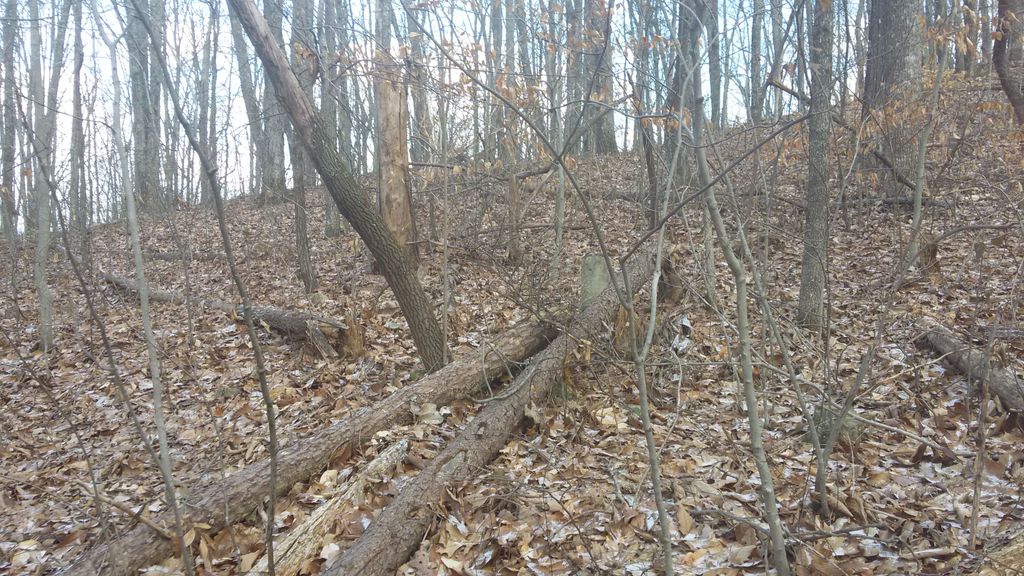
| Description | : | Directions: From KY 15, take KY 3354 for 4.7 miles, turn left onto Chop Chestnut Road and go 0.2 mile. Turn left and go 1.6 miles, to gate, take left fork for 0.3 mile, then follow road down mountain 0.1 mile. When the road makes a sharp turn to the left, the cemetery will be about 300 feet off the road on the right side. Remarks: The cemetery appears to be abandoned and is now in large timber. There was no sign of recent visitation. It is not fenced at this time. There are 11... Read More |
frequently asked questions (FAQ):
-
Where is Eliza Hatton Cemetery?
Eliza Hatton Cemetery is located at Powell County ,Kentucky ,USA.
-
Eliza Hatton Cemetery cemetery's updated grave count on graveviews.com?
0 memorials
-
Where are the coordinates of the Eliza Hatton Cemetery?
Latitude: 37.7866669
Longitude: -83.8177795
Nearby Cemetories:
1. Frazier Cemetery
Powell County, USA
Coordinate: 37.7822227, -83.8125000
2. Rife Cemetery
Knowlton, Powell County, USA
Coordinate: 37.7855568, -83.8308334
3. Curtis Cemetery
Powell County, USA
Coordinate: 37.7766685, -83.8375015
4. Mount Cannan Church Cemetery
Knowlton, Powell County, USA
Coordinate: 37.7969800, -83.8390900
5. Mount Canaan Cemetery
Knowlton, Powell County, USA
Coordinate: 37.7965690, -83.8398370
6. Crowe Cemetery
Powell County, USA
Coordinate: 37.8113899, -83.8108368
7. Wireman Cemetery
Furnace, Estill County, USA
Coordinate: 37.7608160, -83.8305380
8. Elcanie Meadows Cemetery
Powell County, USA
Coordinate: 37.8069458, -83.7913895
9. Billings Cemetery
Furnace, Estill County, USA
Coordinate: 37.7604990, -83.8346540
10. George Patton Cemetery
Powell County, USA
Coordinate: 37.8005562, -83.8508301
11. Rogers Chapel Cemetery
Bowen, Powell County, USA
Coordinate: 37.7780571, -83.7813873
12. Chop Chestnut Cemetery
Knowlton, Powell County, USA
Coordinate: 37.7956009, -83.7792969
13. Hood Cemetery
Powell County, USA
Coordinate: 37.7719421, -83.8605576
14. Benningfield Cemetery #10
Powell County, USA
Coordinate: 37.8272209, -83.7961121
15. Conlee-Maxwell Cemetery
Powell County, USA
Coordinate: 37.8308334, -83.8144455
16. Knox Cemetery
Powell County, USA
Coordinate: 37.8302765, -83.8080597
17. Knox Cemetery
Powell County, USA
Coordinate: 37.8302765, -83.8080597
18. Adams Cemetery
Powell County, USA
Coordinate: 37.8144455, -83.7733307
19. Benningfield Cemetery
Powell County, USA
Coordinate: 37.8302765, -83.8044434
20. Don Randall Memorial Cemetery
Powell County, USA
Coordinate: 37.8334400, -83.8129500
21. Estes Cemetery
Clay City, Powell County, USA
Coordinate: 37.7888908, -83.8780594
22. Friend Cemetery
Powell County, USA
Coordinate: 37.7763850, -83.7583310
23. Lane Cemetery
Powell County, USA
Coordinate: 37.8347206, -83.8144455
24. Combs Cemetery
Powell County, USA
Coordinate: 37.8211098, -83.8625031