
| Memorials | : | 1 |
| Location | : | Knowlton, Powell County, USA |
| Coordinate | : | 37.7965690, -83.8398370 |
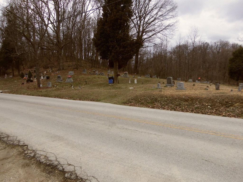
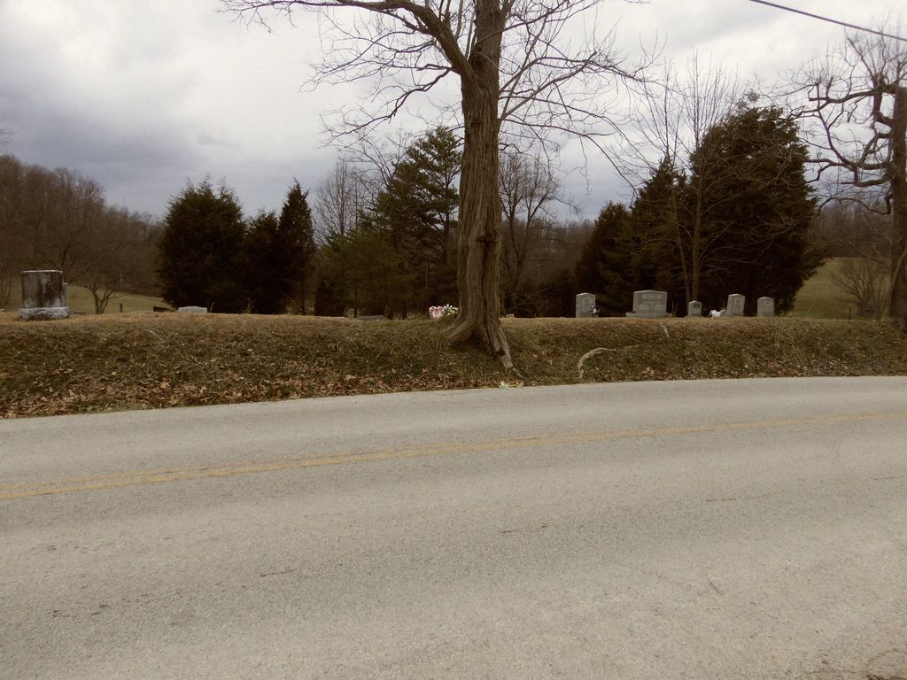
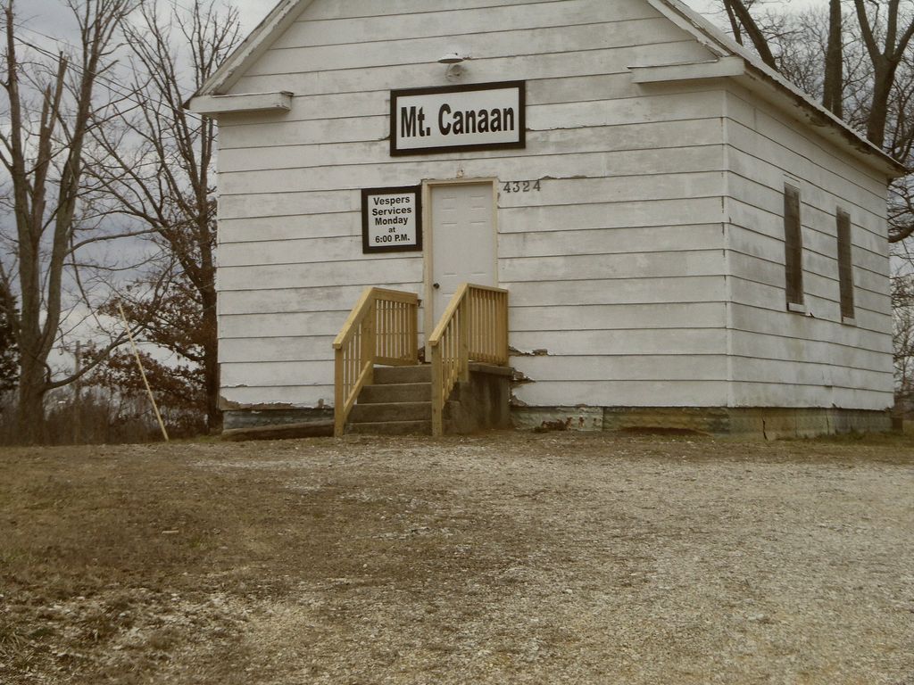
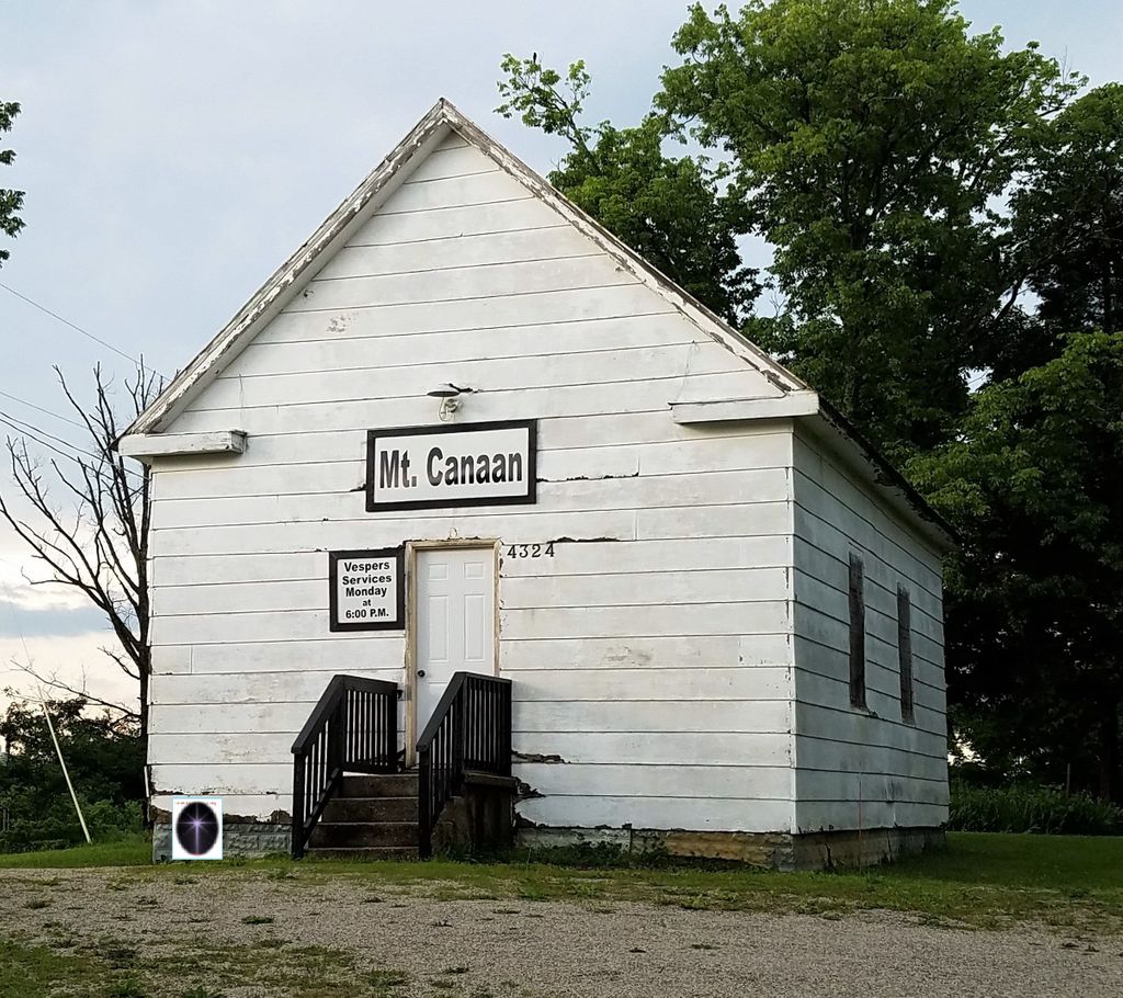
| Description | : | Directions: From KY 15, at Stanton, KY, take KY 213 South for 4.5 miles. Cemetery located on the right side of the road across from the Mt. Canaan Church. |
frequently asked questions (FAQ):
-
Where is Mount Canaan Cemetery?
Mount Canaan Cemetery is located at Knowlton, Powell County ,Kentucky ,USA.
-
Mount Canaan Cemetery cemetery's updated grave count on graveviews.com?
1 memorials
-
Where are the coordinates of the Mount Canaan Cemetery?
Latitude: 37.7965690
Longitude: -83.8398370
Nearby Cemetories:
1. Mount Cannan Church Cemetery
Knowlton, Powell County, USA
Coordinate: 37.7969800, -83.8390900
2. George Patton Cemetery
Powell County, USA
Coordinate: 37.8005562, -83.8508301
3. Rife Cemetery
Knowlton, Powell County, USA
Coordinate: 37.7855568, -83.8308334
4. Curtis Cemetery
Powell County, USA
Coordinate: 37.7766685, -83.8375015
5. Eliza Hatton Cemetery
Powell County, USA
Coordinate: 37.7866669, -83.8177795
6. Frazier Cemetery
Powell County, USA
Coordinate: 37.7822227, -83.8125000
7. Crowe Cemetery
Powell County, USA
Coordinate: 37.8113899, -83.8108368
8. Hood Cemetery
Powell County, USA
Coordinate: 37.7719421, -83.8605576
9. Combs Cemetery
Powell County, USA
Coordinate: 37.8211098, -83.8625031
10. Estes Cemetery
Clay City, Powell County, USA
Coordinate: 37.7888908, -83.8780594
11. Billings Cemetery
Furnace, Estill County, USA
Coordinate: 37.7604990, -83.8346540
12. Wireman Cemetery
Furnace, Estill County, USA
Coordinate: 37.7608160, -83.8305380
13. Holmes Cemetery
Powell County, USA
Coordinate: 37.8250008, -83.8705597
14. Elcanie Meadows Cemetery
Powell County, USA
Coordinate: 37.8069458, -83.7913895
15. Conlee-Maxwell Cemetery
Powell County, USA
Coordinate: 37.8308334, -83.8144455
16. Knox Cemetery
Powell County, USA
Coordinate: 37.8302765, -83.8080597
17. Knox Cemetery
Powell County, USA
Coordinate: 37.8302765, -83.8080597
18. Don Randall Memorial Cemetery
Powell County, USA
Coordinate: 37.8334400, -83.8129500
19. Lane Cemetery
Powell County, USA
Coordinate: 37.8347206, -83.8144455
20. Benningfield Cemetery
Powell County, USA
Coordinate: 37.8302765, -83.8044434
21. Benningfield Cemetery #10
Powell County, USA
Coordinate: 37.8272209, -83.7961121
22. Howard Kennon Cemetery
Powell County, USA
Coordinate: 37.8105545, -83.8958359
23. Chop Chestnut Cemetery
Knowlton, Powell County, USA
Coordinate: 37.7956009, -83.7792969
24. Kennon Cemetery
Clay City, Powell County, USA
Coordinate: 37.7919006, -83.9008026