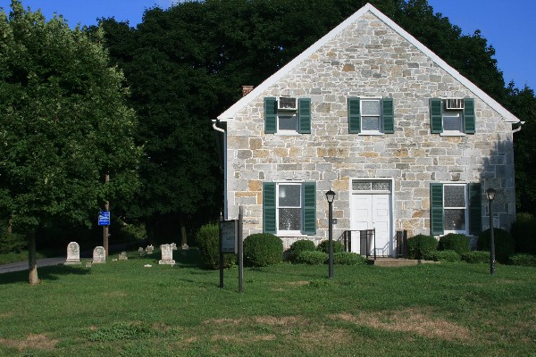
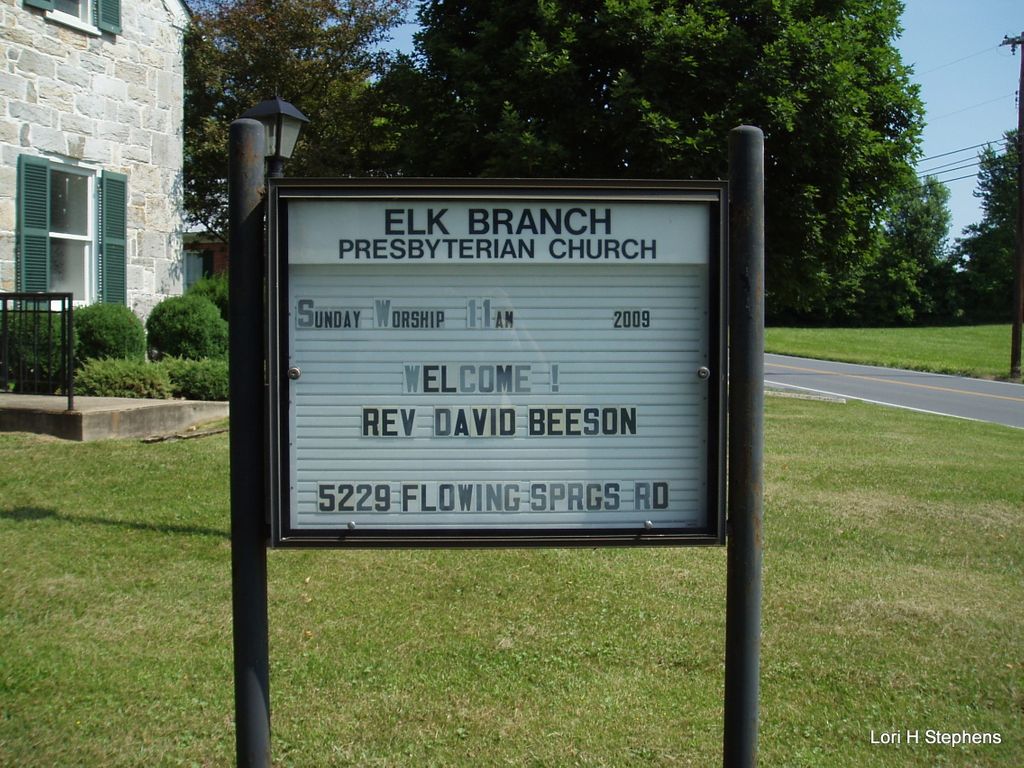
| Memorials | : | 5 |
| Location | : | Duffields, Jefferson County, USA |
| Coordinate | : | 39.3647614, -77.8279190 |
frequently asked questions (FAQ):
-
Where is Elk Branch Presbyterian Church Cemetery?
Elk Branch Presbyterian Church Cemetery is located at Duffields, Jefferson County ,West Virginia ,USA.
-
Elk Branch Presbyterian Church Cemetery cemetery's updated grave count on graveviews.com?
5 memorials
-
Where are the coordinates of the Elk Branch Presbyterian Church Cemetery?
Latitude: 39.3647614
Longitude: -77.8279190
Nearby Cemetories:
1. Ridenour Cemetery
Duffields, Jefferson County, USA
Coordinate: 39.3644414, -77.8280193
2. Darke-Engle-Ronemous Cemetery
Shenandoah Junction, Jefferson County, USA
Coordinate: 39.3544250, -77.8314400
3. Snyder-Hendricks Graveyard
Shepherdstown, Jefferson County, USA
Coordinate: 39.3764000, -77.8490000
4. Uvilla Methodist Church Cemetery
Jefferson County, USA
Coordinate: 39.3660040, -77.7998030
5. Saint James Lutheran Church Cemetery
Uvilla, Jefferson County, USA
Coordinate: 39.3686104, -77.7995300
6. Duffield Colored Cemetery
Uvilla, Jefferson County, USA
Coordinate: 39.3603900, -77.7985600
7. Mount Zion AME Church Cemetery
Reedson, Jefferson County, USA
Coordinate: 39.3492120, -77.8001050
8. Glenburnie - Lafferty Graveyard
Shenandoah Junction, Jefferson County, USA
Coordinate: 39.3890610, -77.8461530
9. Lucas Family Cemetery at Elmwood
Shepherdstown, Jefferson County, USA
Coordinate: 39.3957200, -77.8149300
10. Willow View Blackford Slave Cemetery
Kearneysville, Jefferson County, USA
Coordinate: 39.3607854, -77.8725668
11. Renaud Cemetery
Moler Crossroads, Jefferson County, USA
Coordinate: 39.3970846, -77.7986351
12. Hageley Cemetery
Bakerton, Jefferson County, USA
Coordinate: 39.3641838, -77.7730423
13. Kearneysville Methodist Cemetery
Kearneysville, Jefferson County, USA
Coordinate: 39.3768294, -77.8817933
14. Saint Pauls Baptist Church Cemetery
Kearneysville, Jefferson County, USA
Coordinate: 39.3798904, -77.8862839
15. Border Gibbons Cemetery
Kearneysville, Jefferson County, USA
Coordinate: 39.3908923, -77.8800182
16. Hart-Lucas Cemetery
Kearneysville, Jefferson County, USA
Coordinate: 39.3783640, -77.8875400
17. White Rocks / Lemen Farm Cemetery
Kearneysville, Jefferson County, USA
Coordinate: 39.3940000, -77.8790000
18. White Rocks / Lemen Farm Cemetery
Kearneysville, Jefferson County, USA
Coordinate: 39.3940000, -77.8790000
19. Kearneysville Presbyterian Church Cemetery
Kearneysville, Jefferson County, USA
Coordinate: 39.3885155, -77.8876572
20. Flanegan Cemetery
Bakerton, Jefferson County, USA
Coordinate: 39.3750000, -77.7620000
21. Johnsontown Cemetery
Johnsontown, Jefferson County, USA
Coordinate: 39.3404200, -77.8910700
22. New Hopewell Cemetery
Kearneysville, Jefferson County, USA
Coordinate: 39.3520000, -77.8990000
23. Payne's Hill Cemetery
Halltown, Jefferson County, USA
Coordinate: 39.3190730, -77.7810570
24. Moler Cemetery
Bakerton, Jefferson County, USA
Coordinate: 39.3673700, -77.7496000


