
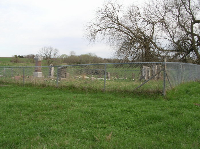
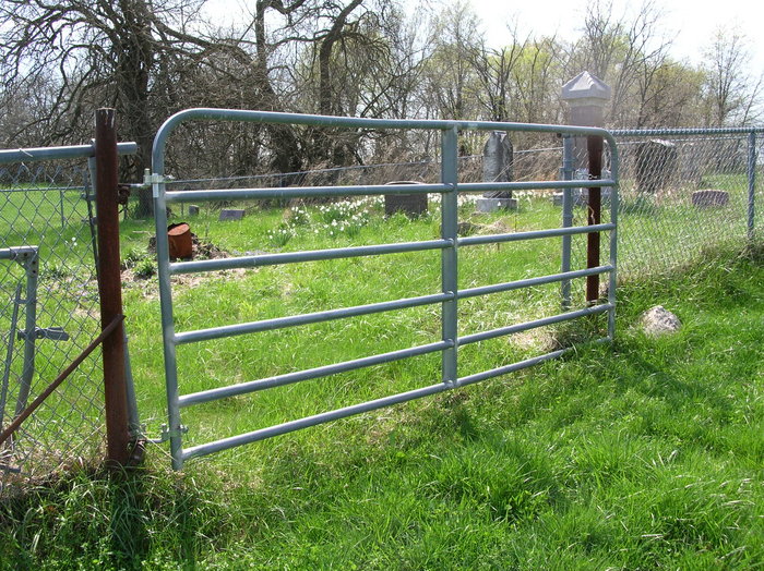
| Memorials | : | 1 |
| Location | : | Cooper County, USA |
| Coordinate | : | 38.8125000, -92.6410980 |
frequently asked questions (FAQ):
-
Where is Ellis Cemetery?
Ellis Cemetery is located at Cooper County ,Missouri ,USA.
-
Ellis Cemetery cemetery's updated grave count on graveviews.com?
1 memorials
-
Where are the coordinates of the Ellis Cemetery?
Latitude: 38.8125000
Longitude: -92.6410980
Nearby Cemetories:
1. Toler Cemetery
Cooper County, USA
Coordinate: 38.8260994, -92.6682968
2. Apperson Cemetery
Cooper County, USA
Coordinate: 38.7841700, -92.6328000
3. McCulloch Cemetery
Cooper County, USA
Coordinate: 38.8293991, -92.6731033
4. New Salem Cemetery
Prairie Home, Cooper County, USA
Coordinate: 38.8432999, -92.6267014
5. Candy Court Cemetery
Prairie Home, Cooper County, USA
Coordinate: 38.8477200, -92.6385900
6. Pisgah Baptist Church Cemetery
Pisgah, Cooper County, USA
Coordinate: 38.7775000, -92.6508330
7. Pisgah Christian Church Cemetery
Pisgah, Cooper County, USA
Coordinate: 38.7771340, -92.6518470
8. Jones Hunt Family Cemetery
Cooper County, USA
Coordinate: 38.7738991, -92.6393967
9. Harris Cemetery
Pisgah, Cooper County, USA
Coordinate: 38.7858009, -92.6050034
10. Providence Baptist Church Cemetery
Prairie Home, Cooper County, USA
Coordinate: 38.8405991, -92.5950012
11. Trinity Lutheran Cemetery
Clarks Fork, Cooper County, USA
Coordinate: 38.8512540, -92.6827680
12. Tompkins Family Burial Ground
Prairie Home, Cooper County, USA
Coordinate: 38.8019390, -92.5721740
13. Robison Cemetery
Prairie Home, Cooper County, USA
Coordinate: 38.8335991, -92.5742035
14. Walnut Grove Church Cemetery
Cooper County, USA
Coordinate: 38.8716480, -92.6421770
15. Pleasant Hill Missionary Baptist Church Cemetery
Clarks Fork, Cooper County, USA
Coordinate: 38.8720870, -92.6635600
16. Assumption of the Blessed Virgin Mary Church
Cedron, Moniteau County, USA
Coordinate: 38.7741300, -92.5681700
17. Lacy Cemetery
Jamestown, Moniteau County, USA
Coordinate: 38.7875500, -92.5571200
18. Zion Lutheran Cemetery
Lone Elm, Cooper County, USA
Coordinate: 38.8215000, -92.7366000
19. Todd Cemetery
Jamestown, Moniteau County, USA
Coordinate: 38.7733300, -92.5588300
20. Saint Peters Evangelical and Reformed Church Cemet
Prairie Home, Cooper County, USA
Coordinate: 38.8505710, -92.5577550
21. Strickfaden Cemetery
Cooper County, USA
Coordinate: 38.7425003, -92.6031036
22. German Methodist Church Cemetery
Moniteau County, USA
Coordinate: 38.7793200, -92.5495900
23. Garman Cemetery
Moniteau County, USA
Coordinate: 38.7792015, -92.5492020
24. Kuhn Cemetery
Jamestown, Moniteau County, USA
Coordinate: 38.7932500, -92.5399800