
| Memorials | : | 0 |
| Location | : | Brainerd, Butler County, USA |
| Phone | : | 316-799-1900 |
| Coordinate | : | 37.9569000, -97.0951000 |
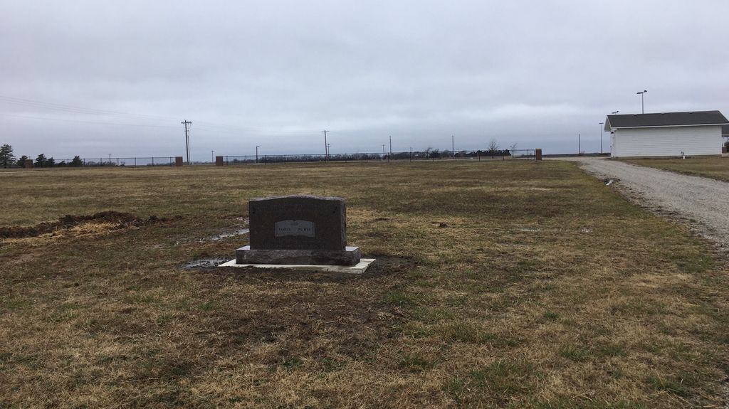
| Description | : | Cemetery is on the SE corner of the Emmaus Church grounds, across the road to the North from Frederic Remington High School and just West of the Brainerd Cemetery. NW 90th Street and NW Meadowlark Rd. Located 2 miles south of the original Emmaus Cemetery |
frequently asked questions (FAQ):
-
Where is Emmaus Mennonite Church South Cemetery?
Emmaus Mennonite Church South Cemetery is located at 9070 NW Meadowlark Rd Brainerd, Butler County ,Kansas , 67154USA.
-
Emmaus Mennonite Church South Cemetery cemetery's updated grave count on graveviews.com?
0 memorials
-
Where are the coordinates of the Emmaus Mennonite Church South Cemetery?
Latitude: 37.9569000
Longitude: -97.0951000

Nearby Cemetories:
1. Brainerd Cemetery
Brainerd, Butler County, USA
Coordinate: 37.9566994, -97.0932999
2. Harder Cemetery
Brainerd, Butler County, USA
Coordinate: 37.9593800, -97.1161600
3. Emmaus Mennonite Church Cemetery
Whitewater, Butler County, USA
Coordinate: 37.9855200, -97.0989400
4. Swiss Cemetery
Whitewater, Butler County, USA
Coordinate: 37.9799995, -97.1343994
5. Adams Family Cemetery
Butler County, USA
Coordinate: 37.9850311, -97.0330963
6. Potwin Cemetery
Potwin, Butler County, USA
Coordinate: 37.9423027, -97.0250702
7. Whitewater Cemetery
Harvey County, USA
Coordinate: 37.9550018, -97.1699982
8. Shafer Cemetery
Potwin, Butler County, USA
Coordinate: 37.9075012, -97.0483017
9. McGill Cemetery
Potwin, Butler County, USA
Coordinate: 37.9188995, -97.0246964
10. Haldeman Cemetery
Butler County, USA
Coordinate: 37.9989014, -97.0132980
11. Fairmount Lonestar Cemetery
Butler County, USA
Coordinate: 38.0285500, -97.0514200
12. Old Grace Hill Mennonite Church Cemetery
Harvey County, USA
Coordinate: 38.0128870, -97.1859870
13. Green Valley Cemetery
Furley, Sedgwick County, USA
Coordinate: 37.8842010, -97.1694031
14. Pleasant View Cemetery
Elbing, Butler County, USA
Coordinate: 38.0499992, -97.1153030
15. Grace Hill Mennonite Church Cemetery
Harvey County, USA
Coordinate: 38.0289800, -97.1803300
16. Horace Hayes Gravesite
Newton, Harvey County, USA
Coordinate: 38.0435950, -97.1757810
17. Missionary Church Cemetery
Harvey County, USA
Coordinate: 38.0581017, -97.1622009
18. Joseph Golden Gravesite
Annelly, Harvey County, USA
Coordinate: 37.9698700, -97.2456600
19. Zion Cemetery
Elbing, Butler County, USA
Coordinate: 38.0783005, -97.1160965
20. Union Cemetery
Benton, Butler County, USA
Coordinate: 37.8314018, -97.1331024
21. Pleasant Center Cemetery
Potwin, Butler County, USA
Coordinate: 38.0431940, -96.9686110
22. Lorraine Avenue Mennonite Church Cemetery
Valley Center, Sedgwick County, USA
Coordinate: 37.8408012, -97.1977997
23. Baker Cemetery
Butler County, USA
Coordinate: 37.8903008, -96.9321976
24. Harvey County Memorial
Newton, Harvey County, USA
Coordinate: 38.0716090, -97.2184190