
| Memorials | : | 0 |
| Location | : | Enon, Bullock County, USA |
| Coordinate | : | 32.1545982, -85.4991989 |
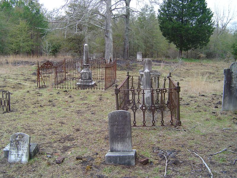
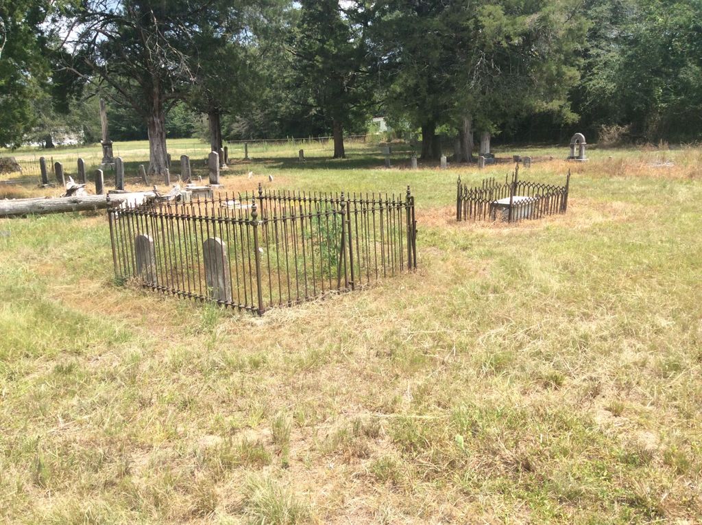
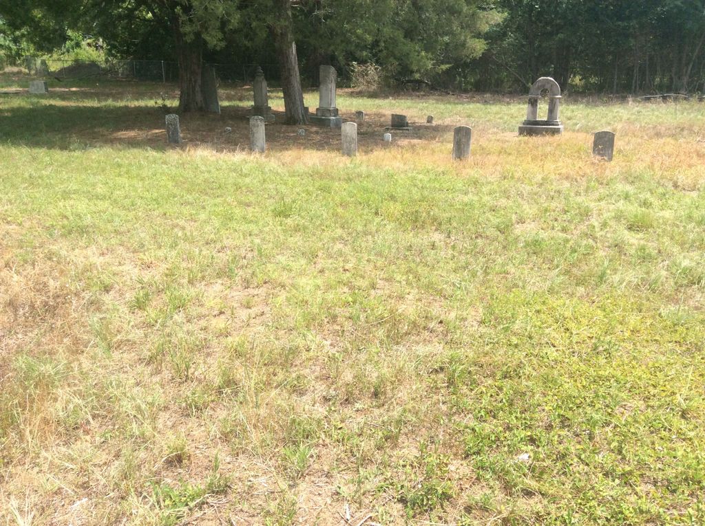
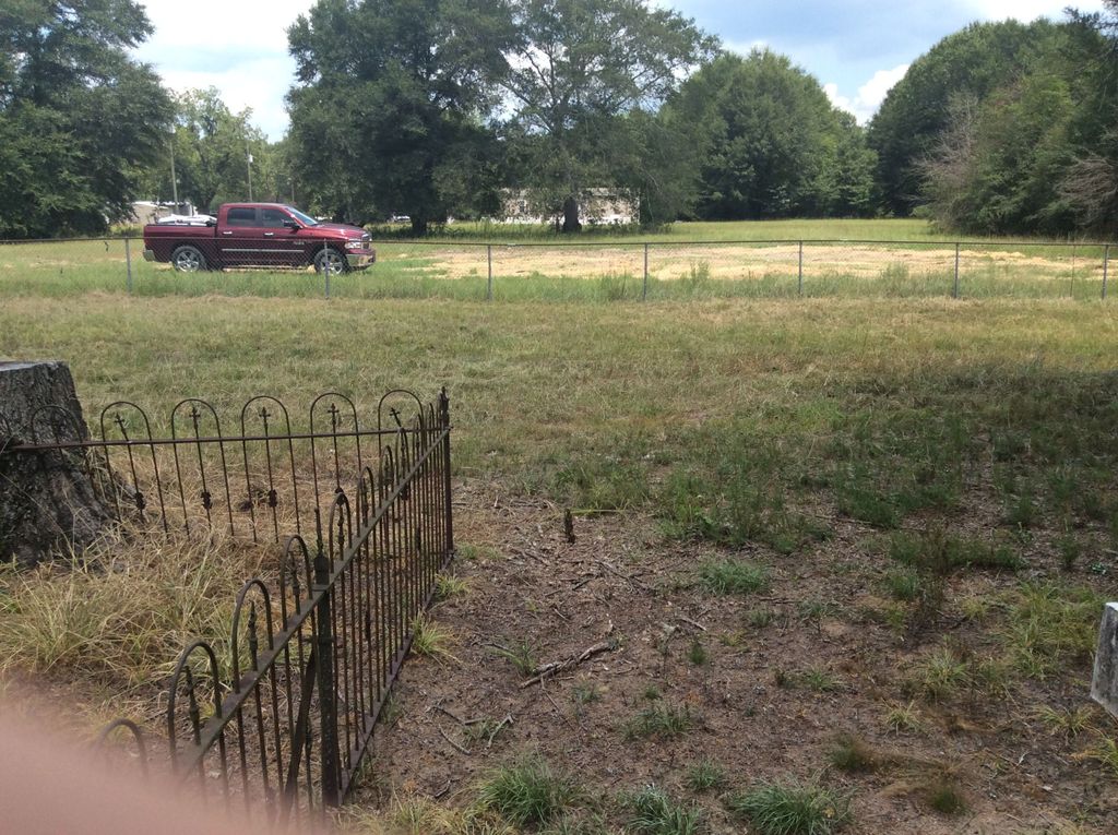
| Description | : | From state highway 51, go east on CR 106, drive approximately 3 miles to #1992 CR 106, turn right into the lane, go past a light red brick home and drive straight forward approximately 100 yards to the front gates of Enon Cemetery. Several years ago, a group of descendants of people buried in Enon organized a five member committee charged with responsibility of clearing, refurbishing and maintaining the historic Enon Cemetery. The committee with the generous support people interested in Enon has made substantial progress in refurbishing the cemetery. The committee has established a Enon Cemetery and Church Grounds... Read More |
frequently asked questions (FAQ):
-
Where is Enon Cemetery?
Enon Cemetery is located at on County Road 106 Enon, Bullock County ,Alabama ,USA.
-
Enon Cemetery cemetery's updated grave count on graveviews.com?
0 memorials
-
Where are the coordinates of the Enon Cemetery?
Latitude: 32.1545982
Longitude: -85.4991989


Nearby Cemetories:
1. Saint Luke A.M.E. Church Cemetery
Midway, Bullock County, USA
Coordinate: 32.1526340, -85.4921830
2. New Bethel Church Cemetery
Union Springs, Bullock County, USA
Coordinate: 32.1574300, -85.5344650
3. Fellowship Cemetery
Midway, Bullock County, USA
Coordinate: 32.1046982, -85.5160980
4. Calvary Baptist Church Cemetery
Bullock County, USA
Coordinate: 32.2016046, -85.4727760
5. Hayes Hill Missionary Baptist Church Cemetery
Midway, Bullock County, USA
Coordinate: 32.1082190, -85.5302430
6. Thornton Cemetery
Bullock County, USA
Coordinate: 32.1288986, -85.5556030
7. Provo Cemetery
Bullock County, USA
Coordinate: 32.2047005, -85.4744034
8. Saint Mark AME Church Cemetery
Guerryton, Bullock County, USA
Coordinate: 32.2127240, -85.4975880
9. Glenford Cemetery
Bullock County, USA
Coordinate: 32.2155991, -85.4803009
10. Jericho Cemetery
Bullock County, USA
Coordinate: 32.1699982, -85.5736008
11. Brown Road Cemetery
Russell County, USA
Coordinate: 32.1897011, -85.4302979
12. Great Hope AME Church Cemetery
Midway, Bullock County, USA
Coordinate: 32.0956820, -85.4519860
13. Midway Baptist Cemetery
Midway, Bullock County, USA
Coordinate: 32.0804600, -85.5187800
14. Kendrick Cemetery
Bullock County, USA
Coordinate: 32.1389008, -85.5886002
15. Three Notch Cemetery
Bullock County, USA
Coordinate: 32.1068993, -85.5777969
16. Mount Zion Missionary Baptist Church Cemetery
Union Springs, Bullock County, USA
Coordinate: 32.1390130, -85.6084040
17. Mount Coney Missionary Baptist Church Cemetery
Midway, Bullock County, USA
Coordinate: 32.0684000, -85.5517190
18. Ramah Baptist Church Cemetery
Barbour County, USA
Coordinate: 32.1058006, -85.3985977
19. Nero Baptist Church Cemetery
Spring Hill, Barbour County, USA
Coordinate: 32.1192210, -85.3854150
20. Ross Chapel AME Zion Church Cemetery
Hurtsboro, Russell County, USA
Coordinate: 32.2396830, -85.4216130
21. First Missionary Baptist Church Cemetery
Hurtsboro, Russell County, USA
Coordinate: 32.2402260, -85.4224100
22. Mount Cannan Missionary Baptist Church Cemetery
Suspension, Bullock County, USA
Coordinate: 32.2169310, -85.6030380
23. Mount Azure Baptist Church Cemetery
Bullock County, USA
Coordinate: 32.0840430, -85.5987560
24. Peniel Cemetery
Bullock County, USA
Coordinate: 32.1086006, -85.6181030