
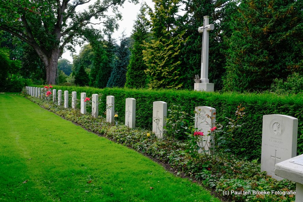
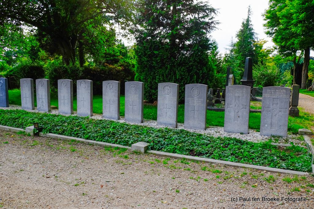
| Memorials | : | 0 |
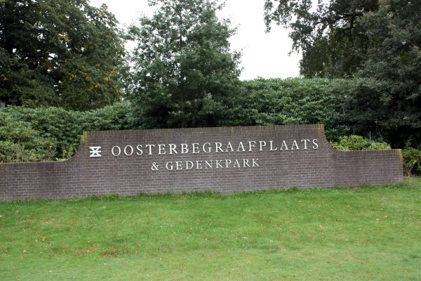
| Location | : | Enschede, Enschede Municipality, Netherlands |
| Coordinate | : | 52.2221700, 6.9292600 |
frequently asked questions (FAQ):
-
Where is Enschede Oosterbegraafplaats?
Enschede Oosterbegraafplaats is located at Enschede, Enschede Municipality ,Overijssel ,Netherlands.
-
Enschede Oosterbegraafplaats cemetery's updated grave count on graveviews.com?
0 memorials
-
Where are the coordinates of the Enschede Oosterbegraafplaats?
Latitude: 52.2221700
Longitude: 6.9292600
Nearby Cemetories:
1. Joodse begraafplaats Esmarkerrondweg
Enschede, Enschede Municipality, Netherlands
Coordinate: 52.2211480, 6.9282250
2. Enschede Roman Catholic Cemetery
Enschede, Enschede Municipality, Netherlands
Coordinate: 52.2183100, 6.9307100
3. Joodse begraafplaats Kneedweg
Enschede, Enschede Municipality, Netherlands
Coordinate: 52.2199400, 6.9099900
4. Doodenzorg Begraafplaats
Glanerbrug, Enschede Municipality, Netherlands
Coordinate: 52.2180600, 6.9695900
5. Lonneker Roman Catholic Churchyard
Lonneker, Enschede Municipality, Netherlands
Coordinate: 52.2499800, 6.9121700
6. Enschede Westerbegraafplaats
Enschede, Enschede Municipality, Netherlands
Coordinate: 52.2342900, 6.8581200
7. Losser Roman Catholic Churchyard
Losser, Losser Municipality, Netherlands
Coordinate: 52.2628700, 7.0034500
8. Alter evangelischer Friedhof
Gronau, Kreis Borken, Germany
Coordinate: 52.2105474, 7.0290033
9. Losser General Cemetery
Losser, Losser Municipality, Netherlands
Coordinate: 52.2625100, 7.0105100
10. Usselo Reformed Cemetery
Usselo, Enschede Municipality, Netherlands
Coordinate: 52.2031600, 6.8276700
11. Overdinkel Roman Catholic Churchyard
Overdinkel, Losser Municipality, Netherlands
Coordinate: 52.2405100, 7.0319800
12. Evangelischer Friedhof
Gronau, Kreis Borken, Germany
Coordinate: 52.2206190, 7.0396011
13. Katholischer Friedhof
Gronau, Kreis Borken, Germany
Coordinate: 52.2009691, 7.0436211
14. Joodse Begraafplaats
Oldenzaal, Oldenzaal Municipality, Netherlands
Coordinate: 52.3061840, 6.9264470
15. Oldenzaal Roman Catholic Cemetery
Oldenzaal, Oldenzaal Municipality, Netherlands
Coordinate: 52.3081500, 6.9165900
16. Hengelo Overijssel General Cemetery
Hengelo, Hengelo Municipality, Netherlands
Coordinate: 52.2719200, 6.8099900
17. Nieuwe Algemene Begraafplaats
Oldenzaal, Oldenzaal Municipality, Netherlands
Coordinate: 52.3119200, 6.8932200
18. Hengelo Roman Catholic Cemetery
Hengelo, Hengelo Municipality, Netherlands
Coordinate: 52.2797300, 6.8103900
19. Joodse begraafplaats
Hengelo, Hengelo Municipality, Netherlands
Coordinate: 52.2695700, 6.7939800
20. Deurningen Roman Catholic Cemetery
Deurningen, Dinkelland Municipality, Netherlands
Coordinate: 52.3009700, 6.8383400
21. De Lutte Roman Catholic Churchyard
De Lutte, Losser Municipality, Netherlands
Coordinate: 52.3149300, 6.9866600
22. Rossum Roman Catholic Cemetery
Rossum, Dinkelland Municipality, Netherlands
Coordinate: 52.3519900, 6.9217100
23. Israelitisch Kerkhof
Delden, Hof van Twente Municipality, Netherlands
Coordinate: 52.2615064, 6.7270171
24. Saasveld Roman Catholic Cemetery
Saasveld, Dinkelland Municipality, Netherlands
Coordinate: 52.3302400, 6.8095800