
| Memorials | : | 0 |
| Location | : | Böddeken, Kreis Paderborn, Germany |
| Coordinate | : | 51.5865900, 8.6752900 |
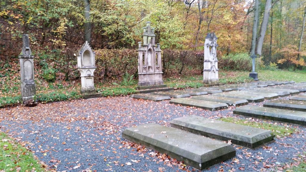
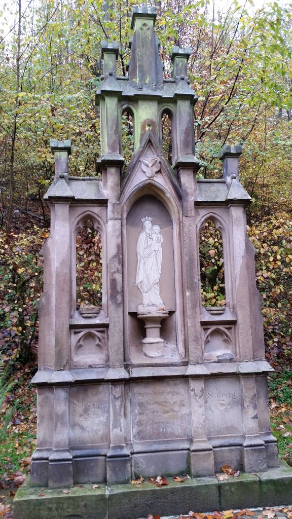
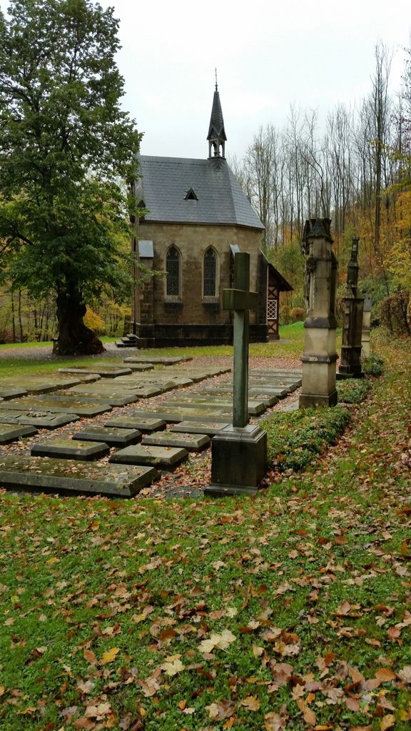
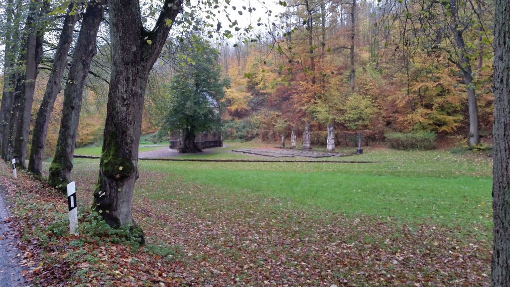
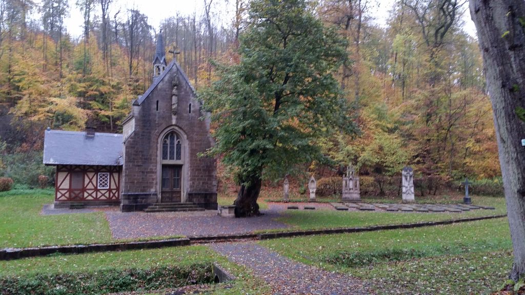
| Description | : | This private cemetery in the middle of the woods and in a hidden valley belongs to the family von Mallinckrodt since the first half of the 19th century. Members of this family are still being buried today. The cemetery is free of access and next to a road. The graves are all marked with lying stones. In contrast to usual cemeteries no flowers are put next to the graves. other cemeteries in the county of Paderborn (Landkreis Paderborn CScnty=5029): ► Cemeteries in Paderborn county |
frequently asked questions (FAQ):
-
Where is Erbgrabstätte Mallinckrodt?
Erbgrabstätte Mallinckrodt is located at Böddeken, Kreis Paderborn ,Nordrhein-Westfalen ,Germany.
-
Erbgrabstätte Mallinckrodt cemetery's updated grave count on graveviews.com?
0 memorials
-
Where are the coordinates of the Erbgrabstätte Mallinckrodt?
Latitude: 51.5865900
Longitude: 8.6752900
Nearby Cemetories:
1. Friedhof Wewelsburg
Wewelsburg, Kreis Paderborn, Germany
Coordinate: 51.6048571, 8.6567500
2. St. Vitus-Haaren Catholic Church Cemetery
Aachen, Stadtkreis Aachen, Germany
Coordinate: 51.5666670, 8.7262340
3. Friedhof Ahden
Ahden, Kreis Paderborn, Germany
Coordinate: 51.6016500, 8.6187500
4. Jüdischer Friedhof Wünnenberg
Wünnenberg, Kreis Paderborn, Germany
Coordinate: 51.5166254, 8.6982407
5. Friedhof Bad Wünnenberg
Wünnenberg, Kreis Paderborn, Germany
Coordinate: 51.5161871, 8.6970060
6. Friedhof Fürstenberg
Fürstenberg, Kreis Paderborn, Germany
Coordinate: 51.5143795, 8.7327063
7. Municipality Cemetery
Büren, Kreis Paderborn, Germany
Coordinate: 51.5467222, 8.5520069
8. Friedhof Geseke
Geseke, Kreis Soest, Germany
Coordinate: 51.6481745, 8.5143893
9. Neue Kirche St. Meinolfus
Dörenhagen, Kreis Paderborn, Germany
Coordinate: 51.6691158, 8.8359264
10. Friedhof Lichtenau
Lichtenau, Kreis Paderborn, Germany
Coordinate: 51.6190460, 8.8867065
11. Friedhof Meerhof
Meerhof, Hochsauerlandkreis, Germany
Coordinate: 51.5152908, 8.8631045
12. Friedhof Störmede
Störmede, Kreis Soest, Germany
Coordinate: 51.6372300, 8.4699000
13. Alter Friedhof Lichtenau
Lichtenau, Kreis Paderborn, Germany
Coordinate: 51.6173898, 8.8924758
14. Paderborn Cathedral
Paderborn, Kreis Paderborn, Germany
Coordinate: 51.7188890, 8.7552780
15. Ostfriedhof
Paderborn, Kreis Paderborn, Germany
Coordinate: 51.7185558, 8.7669330
16. Friedhof Oesdorf
Oesdorf, Hochsauerlandkreis, Germany
Coordinate: 51.5085566, 8.8768757
17. Kirchen Friedhof Elsen
Elsen, Kreis Paderborn, Germany
Coordinate: 51.7357333, 8.6849314
18. Friedhof Verlar
Verlar, Kreis Paderborn, Germany
Coordinate: 51.6897112, 8.4957676
19. Friedhof Boke
Boke, Kreis Paderborn, Germany
Coordinate: 51.7287210, 8.5648066
20. Auf dem Dören
Paderborn, Kreis Paderborn, Germany
Coordinate: 51.7371270, 8.7905750
21. Friedhof Westheim
Marsberg, Hochsauerlandkreis, Germany
Coordinate: 51.4942262, 8.9045926
22. Friedhof Sande
Sande, Kreis Paderborn, Germany
Coordinate: 51.7590066, 8.6530571
23. Friedhof Bökenförde
Bökenförde, Kreis Soest, Germany
Coordinate: 51.6391300, 8.3958300
24. Friedhof Delbrück
Delbrück, Kreis Paderborn, Germany
Coordinate: 51.7644263, 8.5693922