
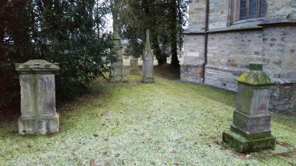
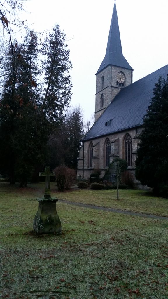
| Memorials | : | 0 |
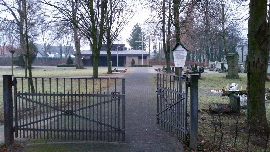
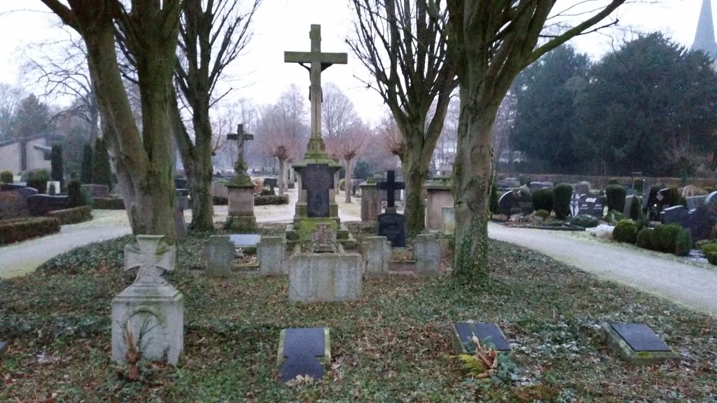
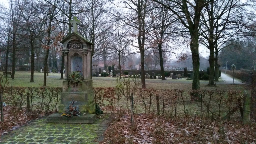
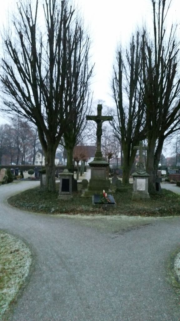
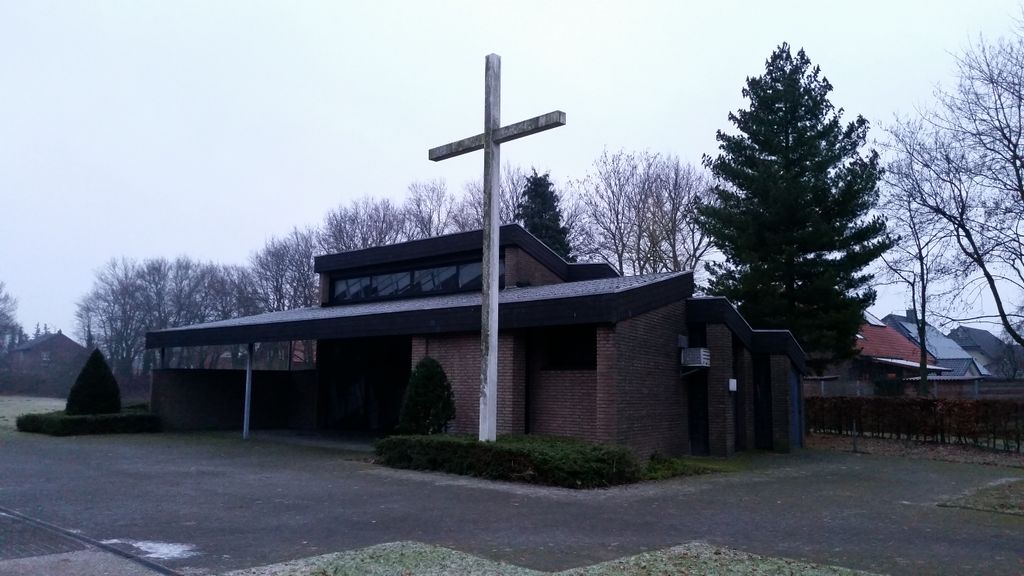
| Location | : | Störmede, Kreis Soest, Germany |
| Coordinate | : | 51.6372300, 8.4699000 |
| Description | : | Cemeteries in the county of Soest (Landkreis Soest CScnty=5036): ► Cemeteries in Soest County |
frequently asked questions (FAQ):
-
Where is Friedhof Störmede?
Friedhof Störmede is located at Wilhelm-Emanuel-von-Ketteler-Weg Störmede, Kreis Soest ,Nordrhein-Westfalen , 59590Germany.
-
Friedhof Störmede cemetery's updated grave count on graveviews.com?
0 memorials
-
Where are the coordinates of the Friedhof Störmede?
Latitude: 51.6372300
Longitude: 8.4699000

Nearby Cemetories:
1. Friedhof Geseke
Geseke, Kreis Soest, Germany
Coordinate: 51.6481745, 8.5143893
2. Friedhof Bökenförde
Bökenförde, Kreis Soest, Germany
Coordinate: 51.6391300, 8.3958300
3. Friedhof Verlar
Verlar, Kreis Paderborn, Germany
Coordinate: 51.6897112, 8.4957676
4. Ev.-Ref. Kirche Lipperode
Lipperode, Kreis Soest, Germany
Coordinate: 51.6931821, 8.3769389
5. Friedhof Lippstadt
Lippstadt, Kreis Soest, Germany
Coordinate: 51.6824406, 8.3595423
6. Friedhof Ahden
Ahden, Kreis Paderborn, Germany
Coordinate: 51.6016500, 8.6187500
7. Municipality Cemetery
Büren, Kreis Paderborn, Germany
Coordinate: 51.5467222, 8.5520069
8. Friedhof Boke
Boke, Kreis Paderborn, Germany
Coordinate: 51.7287210, 8.5648066
9. Friedhof Wewelsburg
Wewelsburg, Kreis Paderborn, Germany
Coordinate: 51.6048571, 8.6567500
10. Erbgrabstätte Mallinckrodt
Böddeken, Kreis Paderborn, Germany
Coordinate: 51.5865900, 8.6752900
11. Friedhof Delbrück
Delbrück, Kreis Paderborn, Germany
Coordinate: 51.7644263, 8.5693922
12. Kirchen Friedhof Elsen
Elsen, Kreis Paderborn, Germany
Coordinate: 51.7357333, 8.6849314
13. Friedhof Sande
Sande, Kreis Paderborn, Germany
Coordinate: 51.7590066, 8.6530571
14. Alter Friedhof Langenberg
Langenberg, Kreis Gütersloh, Germany
Coordinate: 51.7762920, 8.3204506
15. Friedhof Franziskusweg
Rietberg, Kreis Gütersloh, Germany
Coordinate: 51.8015772, 8.4187964
16. St. Vitus-Haaren Catholic Church Cemetery
Aachen, Stadtkreis Aachen, Germany
Coordinate: 51.5666670, 8.7262340
17. Jüdischer Friedhof
Wadersloh, Kreis Warendorf, Germany
Coordinate: 51.7474167, 8.2426667
18. Friedhof Bad Wünnenberg
Wünnenberg, Kreis Paderborn, Germany
Coordinate: 51.5161871, 8.6970060
19. Jüdischer Friedhof Wünnenberg
Wünnenberg, Kreis Paderborn, Germany
Coordinate: 51.5166254, 8.6982407
20. Friedhof Bad Sassendorf
Bad Sassendorf, Kreis Soest, Germany
Coordinate: 51.5816358, 8.1701272
21. Paderborn Cathedral
Paderborn, Kreis Paderborn, Germany
Coordinate: 51.7188890, 8.7552780
22. Ostfriedhof
Paderborn, Kreis Paderborn, Germany
Coordinate: 51.7185558, 8.7669330
23. Friedhof Fürstenberg
Fürstenberg, Kreis Paderborn, Germany
Coordinate: 51.5143795, 8.7327063
24. Auf dem Dören
Paderborn, Kreis Paderborn, Germany
Coordinate: 51.7371270, 8.7905750