| Memorials | : | 1 |
| Location | : | Rebersburg, Centre County, USA |
| Coordinate | : | 40.9437980, -77.4429230 |
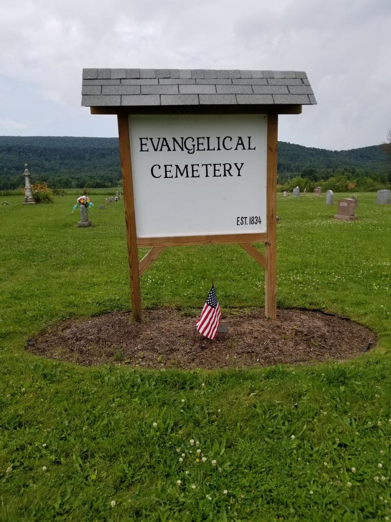
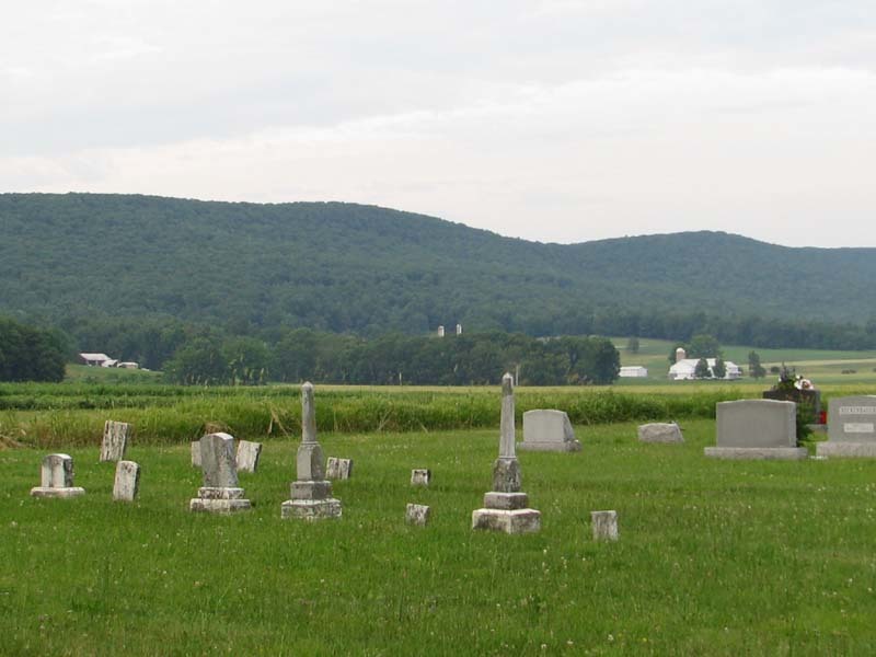
| Description | : | There are no records to show if this cemetery existed at this location prior to the erection of the church in 1834. The earliest burial found was in 1835. Jacob Albright, founder of the Evangelical Association began preaching in Christopher Spangler's home in Brush Valley in 1806. The congregation grew and in 1834 the first unit of the church office in Rebersburg was dedicated. Without any specific records showing the acquisition of the land, it can be assumed that the tract was large enough to accommodate both the church building and the burial ground. The operation of... Read More |
frequently asked questions (FAQ):
-
Where is Evangelical Cemetery?
Evangelical Cemetery is located at Rebersburg, Centre County ,Pennsylvania ,USA.
-
Evangelical Cemetery cemetery's updated grave count on graveviews.com?
1 memorials
-
Where are the coordinates of the Evangelical Cemetery?
Latitude: 40.9437980
Longitude: -77.4429230
Nearby Cemetories:
1. Saint Peters Lutheran and Reformed Cemetery
Rebersburg, Centre County, USA
Coordinate: 40.9438000, -77.4427000
2. Elk Creek Cemetery
Rebersburg, Centre County, USA
Coordinate: 40.9219900, -77.4840030
3. Aaronsburg Reformed Cemetery
Aaronsburg, Centre County, USA
Coordinate: 40.9026000, -77.4530000
4. Aaronsburg Salem Lutheran Cemetery
Aaronsburg, Centre County, USA
Coordinate: 40.9020000, -77.4497000
5. Stover Cemetery
Aaronsburg, Centre County, USA
Coordinate: 40.9055000, -77.4162000
6. Tylersville Reformed Cemetery
Tylersville, Clinton County, USA
Coordinate: 40.9897003, -77.4347000
7. Old Wolf's Store Cemetery
Wolfs Store, Centre County, USA
Coordinate: 40.9606660, -77.3828290
8. Tylersville Lutheran and Reformed Cemetery
Tylersville, Clinton County, USA
Coordinate: 40.9910000, -77.4258000
9. Tylersville Evangelical Cemetery
Tylersville, Clinton County, USA
Coordinate: 40.9913000, -77.4272000
10. Penn's Valley Amish Cemetery
Aaronsburg, Centre County, USA
Coordinate: 40.8882400, -77.4561050
11. Saint Pauls Union Cemetery
Fiedler, Centre County, USA
Coordinate: 40.9053001, -77.3843994
12. Reichard Cemetery
Millheim, Centre County, USA
Coordinate: 40.8915454, -77.4795903
13. United Church of Christ and Lutheran Cemetery
Madisonburg, Centre County, USA
Coordinate: 40.9238050, -77.5166130
14. Madisonburg United Methodist Cemetery
Madisonburg, Centre County, USA
Coordinate: 40.9256713, -77.5181869
15. Madisonburg Lutheran And Reformed Cemetery
Madisonburg, Centre County, USA
Coordinate: 40.9267000, -77.5192000
16. Neidig Cemetery
Haines Township, Centre County, USA
Coordinate: 40.9157330, -77.3697690
17. Union Cemetery
Millheim, Centre County, USA
Coordinate: 40.8894005, -77.4839020
18. McCarthy Family Cemetery
Aaronsburg, Centre County, USA
Coordinate: 40.9212000, -77.3633100
19. Fairview Cemetery
Millheim, Centre County, USA
Coordinate: 40.8875008, -77.4867020
20. Woodward Union Cemetery
Woodward, Centre County, USA
Coordinate: 40.9008000, -77.3594000
21. Saint Paul EUB Cemetery
Logan Mills, Clinton County, USA
Coordinate: 41.0023000, -77.3767000
22. Brungart Cemetery
Centre County, USA
Coordinate: 40.9707000, -77.3445000
23. Trinity United Methodist Cemetery
Greenburr, Clinton County, USA
Coordinate: 41.0075000, -77.3543000
24. Emanuel Reformed Cemetery
Greenburr, Clinton County, USA
Coordinate: 41.0065000, -77.3530000


