| Memorials | : | 0 |
| Location | : | Eyota, Olmsted County, USA |
| Coordinate | : | 43.9482420, -92.2490470 |
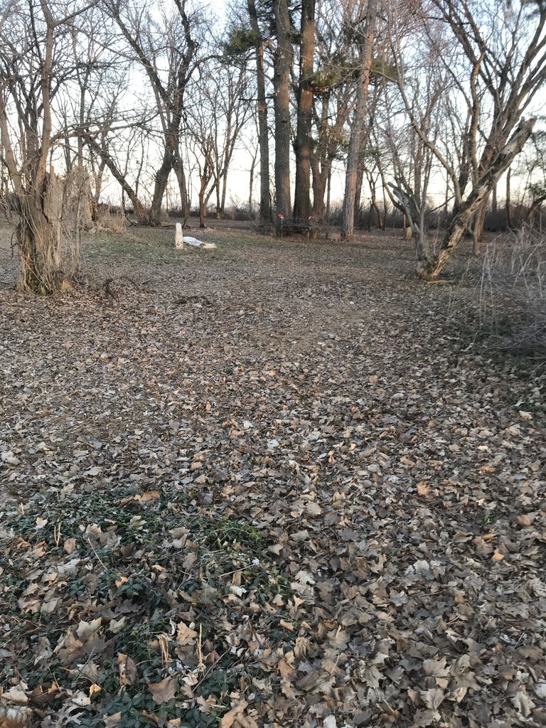
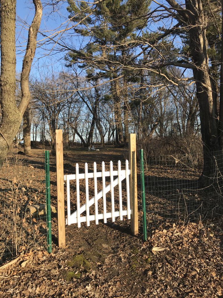
| Description | : | Map location is approximate. Abandoned. 7 Marked graves documented. 3 miles south of Eyota, Olmsted County, MN. ***** Dalby, John. Minnesota Cemetery Inscription Index, Select Counties [database on-line]. Provo, UT, USA: Ancestry.com Operations Inc, 2003. Fergus Falls Daily Journal; Fergus Falls, MN; 20 Jul 1992 |
frequently asked questions (FAQ):
-
Where is Evangelical Lutheran Church Cemetery?
Evangelical Lutheran Church Cemetery is located at County Road 129 SE Eyota, Olmsted County ,Minnesota , 55934USA.
-
Evangelical Lutheran Church Cemetery cemetery's updated grave count on graveviews.com?
0 memorials
-
Where are the coordinates of the Evangelical Lutheran Church Cemetery?
Latitude: 43.9482420
Longitude: -92.2490470
Nearby Cemetories:
1. Cline Cemetery
Eyota, Olmsted County, USA
Coordinate: 43.9413986, -92.2442017
2. Edith Wright Farm Cemetery
Eyota, Olmsted County, USA
Coordinate: 43.9666710, -92.2347183
3. Coffin Cemetery
Cummingsville, Olmsted County, USA
Coordinate: 43.9162260, -92.2586870
4. Oak Grove Cemetery
Eyota, Olmsted County, USA
Coordinate: 43.9836006, -92.2581024
5. Walter McConnell Farm Cemetery
Eyota, Olmsted County, USA
Coordinate: 43.9805603, -92.2763901
6. Holy Redeemer Cemetery
Eyota, Olmsted County, USA
Coordinate: 43.9855995, -92.2596970
7. Ben Bear Cemetery
Eyota, Olmsted County, USA
Coordinate: 43.9805603, -92.2819366
8. Orion Center Cemetery
Cummingsville, Olmsted County, USA
Coordinate: 43.8833008, -92.2572021
9. Marion Cemetery
Marion, Olmsted County, USA
Coordinate: 43.9480591, -92.3494415
10. Randall Fork Cemetery
Eyota, Olmsted County, USA
Coordinate: 44.0194397, -92.2750015
11. United Church of Christ Cemetery
Viola, Olmsted County, USA
Coordinate: 44.0210686, -92.2202530
12. Saint Pauls United Church of Christ Cemetery
Eyota, Olmsted County, USA
Coordinate: 44.0212570, -92.2205310
13. Cummingsville Cemetery
Cummingsville, Olmsted County, USA
Coordinate: 43.8666670, -92.2572220
14. Evergreen Cemetery
Dover, Olmsted County, USA
Coordinate: 43.9850006, -92.1438980
15. Chester Cemetery
Chester, Olmsted County, USA
Coordinate: 44.0002785, -92.3458328
16. Oak Hill Cemetery
Viola, Olmsted County, USA
Coordinate: 44.0452995, -92.2493973
17. Fairview Cemetery
Simpson, Olmsted County, USA
Coordinate: 43.9131012, -92.4088974
18. Sodom Cemetery
Fillmore County, USA
Coordinate: 43.8333015, -92.3024979
19. Union Cemetery
Pleasant Grove, Olmsted County, USA
Coordinate: 43.8698300, -92.3802300
20. Saint Paul Lutheran Cemetery
Chatfield, Fillmore County, USA
Coordinate: 43.8339005, -92.1755981
21. Calvary Cemetery
Saint Charles, Winona County, USA
Coordinate: 43.9799995, -92.0774994
22. Calvary Cemetery
Chatfield, Fillmore County, USA
Coordinate: 43.8325005, -92.1735992
23. Chatfield Cemetery
Chatfield, Fillmore County, USA
Coordinate: 43.8325005, -92.1714020
24. Carpenter Cemetery
Saint Charles, Winona County, USA
Coordinate: 43.9846992, -92.0693970


