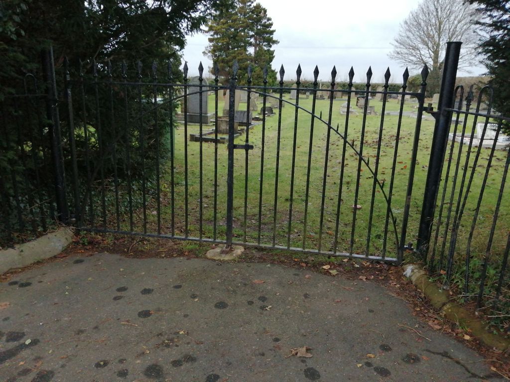
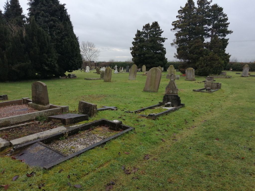
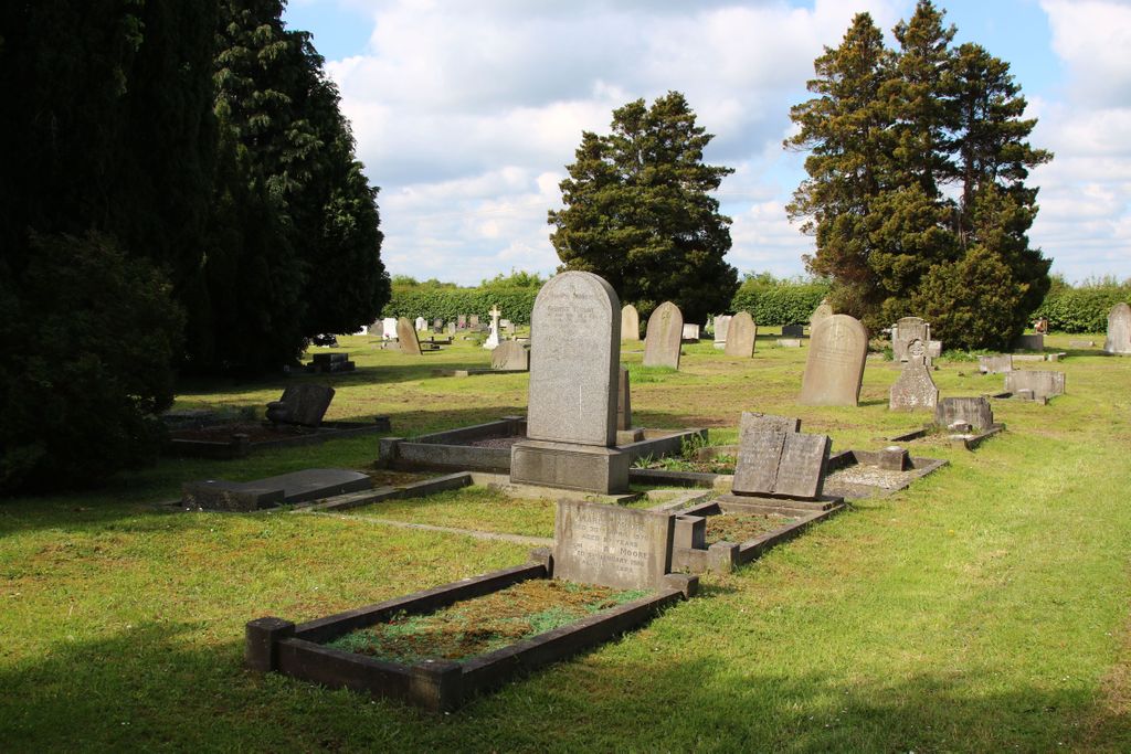
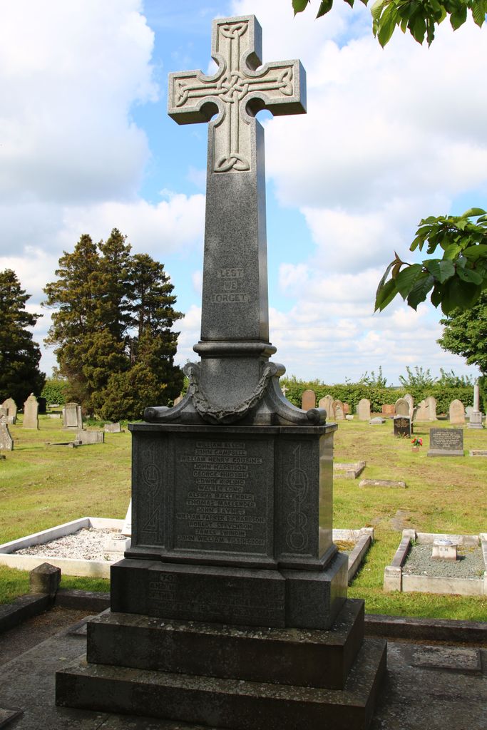
| Memorials | : | 45 |
| Location | : | Everton, Bassetlaw District, England |
| Coordinate | : | 53.4088639, -0.9625431 |
| Description | : | Everton is a village and civil parish in Nottinghamshire, England. Located on the A631 between Gainsborough and Bawtry, it is part of Bassetlaw district. The village is recorded in the Domesday Book of 1086-7 as Evretone |
frequently asked questions (FAQ):
-
Where is Everton Cemetery?
Everton Cemetery is located at Everton, Bassetlaw District ,Nottinghamshire ,England.
-
Everton Cemetery cemetery's updated grave count on graveviews.com?
45 memorials
-
Where are the coordinates of the Everton Cemetery?
Latitude: 53.4088639
Longitude: -0.9625431
Nearby Cemetories:
1. Holy Trinity Churchyard
Everton, Bassetlaw District, England
Coordinate: 53.4141740, -0.9614720
2. Mattersey Cemetery
Mattersey, Bassetlaw District, England
Coordinate: 53.3986220, -0.9691880
3. All Saints Churchyard
Mattersey, Bassetlaw District, England
Coordinate: 53.3963070, -0.9631660
4. St. Wilfred Churchyard
Scrooby, Bassetlaw District, England
Coordinate: 53.4095670, -1.0204840
5. Gringley on the Hill Cemetery
Gringley-on-the-Hill, Bassetlaw District, England
Coordinate: 53.4072930, -0.9021230
6. St. Peter's Churchyard
Clayworth, Bassetlaw District, England
Coordinate: 53.3877200, -0.9093960
7. Respect Green Burial Park
Bawtry, Metropolitan Borough of Doncaster, England
Coordinate: 53.4200210, -1.0250520
8. St. Nicholas' Churchyard
Bawtry, Metropolitan Borough of Doncaster, England
Coordinate: 53.4297900, -1.0183400
9. St. Peter and St. Paul's Churchyard
Gringley-on-the-Hill, Bassetlaw District, England
Coordinate: 53.4076320, -0.8944210
10. Bawtry Cemetery
Bawtry, Metropolitan Borough of Doncaster, England
Coordinate: 53.4341255, -1.0192066
11. St. Barnabas Church Burial Ground
Ranskill, Bassetlaw District, England
Coordinate: 53.3786660, -1.0138210
12. St Nicholas Chapel of All Souls Ancillary Cemetery
Bawtry, Metropolitan Borough of Doncaster, England
Coordinate: 53.4344798, -1.0211632
13. St. Helena Churchyard
Austerfield, Metropolitan Borough of Doncaster, England
Coordinate: 53.4449200, -1.0062600
14. St. Bartholomew's Churchyard
Sutton cum Lound, Bassetlaw District, England
Coordinate: 53.3573000, -0.9784000
15. Harworth Cemetery
Harworth, Bassetlaw District, England
Coordinate: 53.4185060, -1.0733460
16. St. Peter's Churchyard
Hayton, Bassetlaw District, England
Coordinate: 53.3494900, -0.9093700
17. St. Mary & St. Martin Churchyard
Blyth, Bassetlaw District, England
Coordinate: 53.3785000, -1.0642000
18. Blyth City Cemetery
Blyth, Bassetlaw District, England
Coordinate: 53.3729000, -1.0592000
19. All Saints Churchyard
Harworth, Bassetlaw District, England
Coordinate: 53.4187800, -1.0781900
20. Walkeringham Parish Cemetery
Walkeringham, Bassetlaw District, England
Coordinate: 53.4201430, -0.8463880
21. Styrrup Road Cemetery
Harworth, Bassetlaw District, England
Coordinate: 53.4160400, -1.0816770
22. All Saints Churchyard
Misterton, Bassetlaw District, England
Coordinate: 53.4442500, -0.8500830
23. St Peter & St Paul Churchyard
North Wheatley, Bassetlaw District, England
Coordinate: 53.3641900, -0.8563900
24. St. John the Baptist Churchyard
Clarborough, Bassetlaw District, England
Coordinate: 53.3413200, -0.8981100

