
| Memorials | : | 30 |
| Location | : | Blyth, Bassetlaw District, England |
| Phone | : | 07711 763124 |
| Website | : | www.achurchnearyou.com/church/17725/ |
| Coordinate | : | 53.3785000, -1.0642000 |
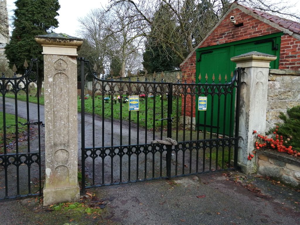
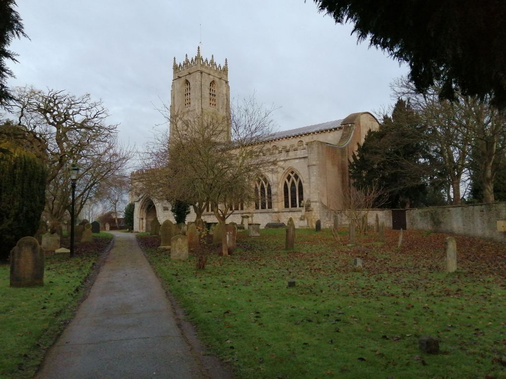
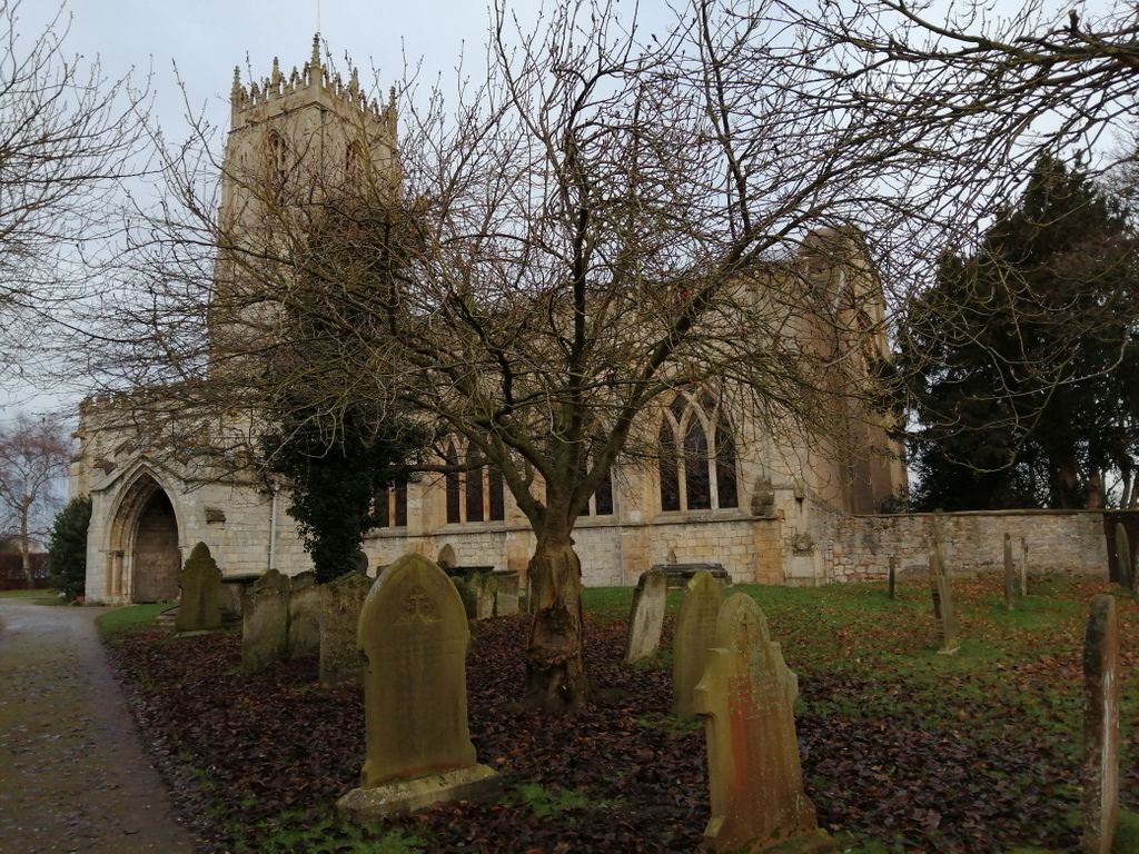
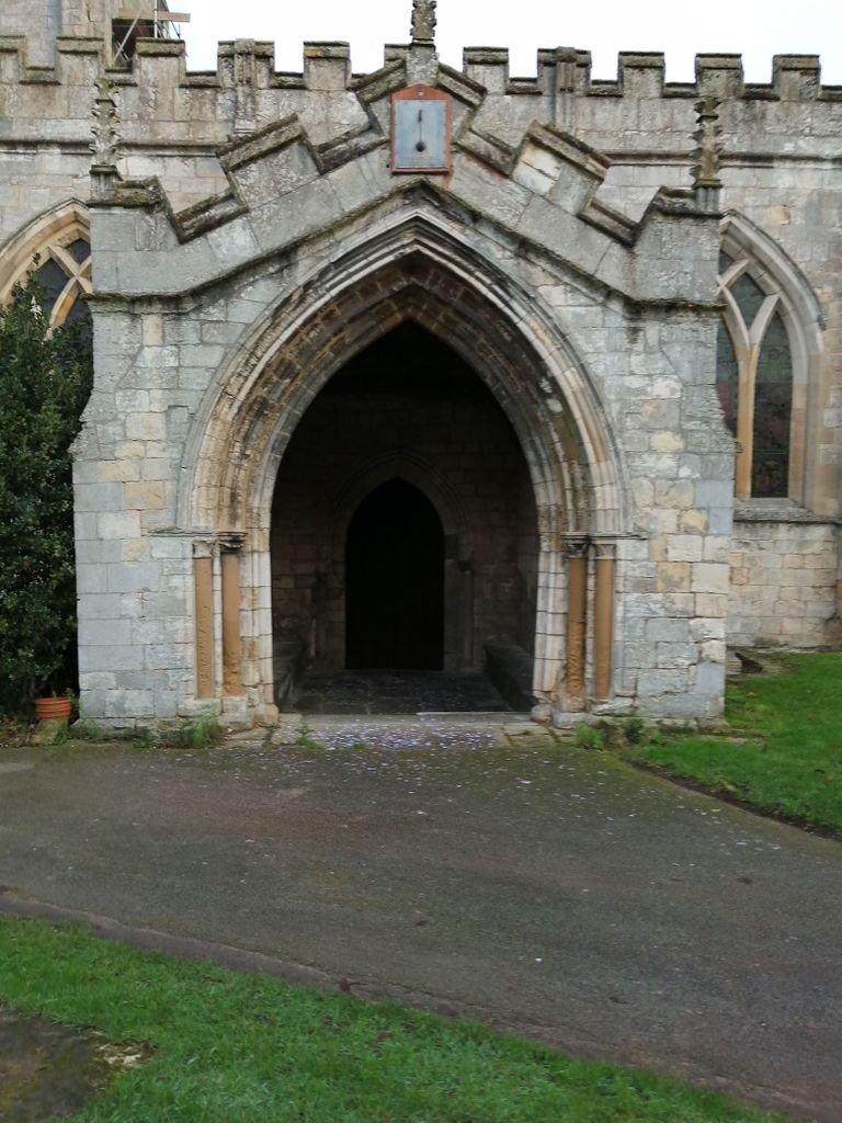
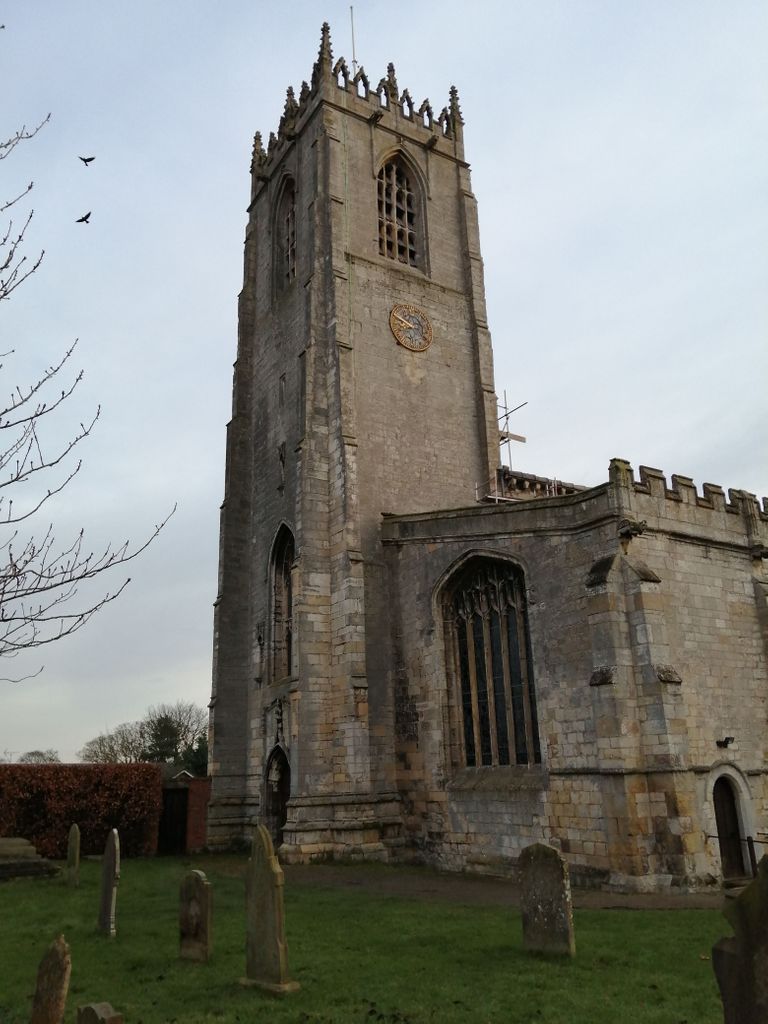
| Description | : | The priory of St. Mary and St. Martin is one of the oldest examples of Norman architecture in the country. It was part of a Benedictine monastery founded in 1088. This priory was founded by Roger de Builli of Tickhill Castle, one of William the Conqueror's followers. The founder and later benefactors endowed Blyth with lands, money and churches. It was staffed at first by monks from the Mother House, Holy Trinity Priory at Rouen France. In 1286 Thomas Russel had to be returned to Rouen because of his intolerable conduct and also John de Belleville, as the climate did not... Read More |
frequently asked questions (FAQ):
-
Where is St. Mary & St. Martin Churchyard?
St. Mary & St. Martin Churchyard is located at 1 Priory Close Blyth, Bassetlaw District ,Nottinghamshire , S81 8HFEngland.
-
St. Mary & St. Martin Churchyard cemetery's updated grave count on graveviews.com?
30 memorials
-
Where are the coordinates of the St. Mary & St. Martin Churchyard?
Latitude: 53.3785000
Longitude: -1.0642000
Nearby Cemetories:
1. Blyth City Cemetery
Blyth, Bassetlaw District, England
Coordinate: 53.3729000, -1.0592000
2. St. Barnabas Church Burial Ground
Ranskill, Bassetlaw District, England
Coordinate: 53.3786660, -1.0138210
3. Langold Cemetery
Worksop, Bassetlaw District, England
Coordinate: 53.3777600, -1.1170100
4. St Helen's Roman Catholic Churchyard
Nottingham, Nottingham Unitary Authority, England
Coordinate: 53.3903220, -1.1131860
5. Styrrup Road Cemetery
Harworth, Bassetlaw District, England
Coordinate: 53.4160400, -1.0816770
6. Harworth Cemetery
Harworth, Bassetlaw District, England
Coordinate: 53.4185060, -1.0733460
7. St. Wilfred Churchyard
Scrooby, Bassetlaw District, England
Coordinate: 53.4095670, -1.0204840
8. All Saints Churchyard
Harworth, Bassetlaw District, England
Coordinate: 53.4187800, -1.0781900
9. Saint John the Evangelist Churchyard
Carlton-in-Lindrick, Bassetlaw District, England
Coordinate: 53.3486389, -1.1180278
10. Respect Green Burial Park
Bawtry, Metropolitan Borough of Doncaster, England
Coordinate: 53.4200210, -1.0250520
11. St. Bartholomew's Churchyard
Sutton cum Lound, Bassetlaw District, England
Coordinate: 53.3573000, -0.9784000
12. St. Martin Churchyard
Firbeck, Metropolitan Borough of Rotherham, England
Coordinate: 53.3900080, -1.1561770
13. Sandbeck Park
Maltby, Metropolitan Borough of Rotherham, England
Coordinate: 53.4061450, -1.1460050
14. St. Peter's Churchyard
Letwell, Metropolitan Borough of Rotherham, England
Coordinate: 53.3773774, -1.1606489
15. St. Nicholas' Churchyard
Bawtry, Metropolitan Borough of Doncaster, England
Coordinate: 53.4297900, -1.0183400
16. St. Mary's Churchyard
Tickhill, Metropolitan Borough of Doncaster, England
Coordinate: 53.4309200, -1.1112200
17. Austin Friars Churchyard
Tickhill, Metropolitan Borough of Doncaster, England
Coordinate: 53.4283270, -1.1194740
18. Tickhill Friary
Tickhill, Metropolitan Borough of Doncaster, England
Coordinate: 53.4283330, -1.1195830
19. Saint Mary's Cemetery
Tickhill, Metropolitan Borough of Doncaster, England
Coordinate: 53.4315867, -1.1108661
20. Mattersey Cemetery
Mattersey, Bassetlaw District, England
Coordinate: 53.3986220, -0.9691880
21. St Nicholas Chapel of All Souls Ancillary Cemetery
Bawtry, Metropolitan Borough of Doncaster, England
Coordinate: 53.4344798, -1.0211632
22. Bawtry Cemetery
Bawtry, Metropolitan Borough of Doncaster, England
Coordinate: 53.4341255, -1.0192066
23. St. John the Evangelist Churchyard
Worksop, Bassetlaw District, England
Coordinate: 53.3161600, -1.0584800
24. All Saints Churchyard
Mattersey, Bassetlaw District, England
Coordinate: 53.3963070, -0.9631660