| Memorials | : | 0 |
| Location | : | Grangeburg, Houston County, USA |
| Coordinate | : | 31.0085800, -85.2106400 |
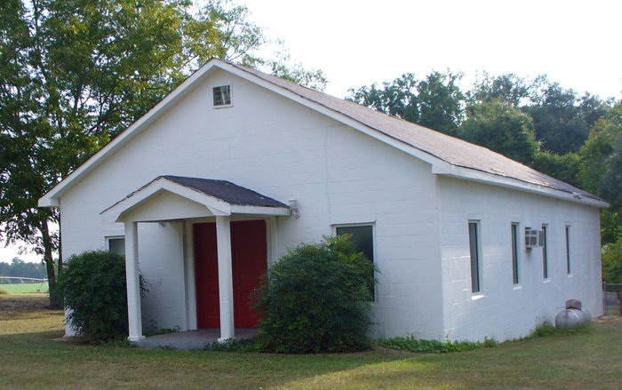
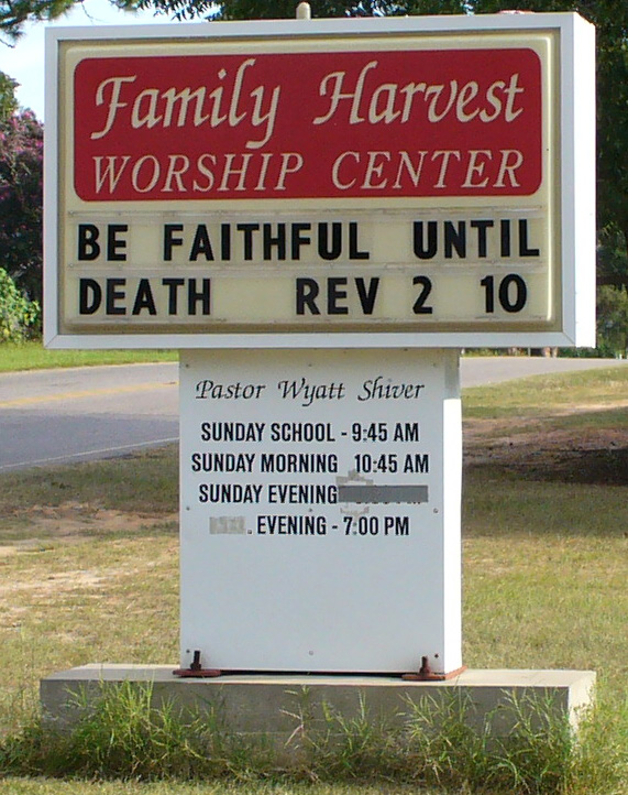
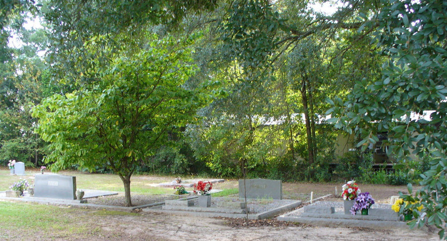
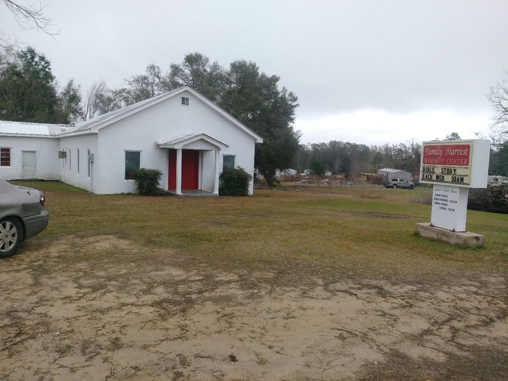
| Description | : | Family Harvest Worship Center Cemetery is located behind the building. It is at the intersection of Highway 81 and 53 (Cottonwood Road)Grangerburg. It is in Houston County, Alabama. It was also known as "Jesus Name". |
frequently asked questions (FAQ):
-
Where is Family Harvest Worship Center Cemetery?
Family Harvest Worship Center Cemetery is located at Grangeburg, Houston County ,Alabama ,USA.
-
Family Harvest Worship Center Cemetery cemetery's updated grave count on graveviews.com?
0 memorials
-
Where are the coordinates of the Family Harvest Worship Center Cemetery?
Latitude: 31.0085800
Longitude: -85.2106400
Nearby Cemetories:
1. Antioch Assembly of God Church Cemetery
Cottonwood, Houston County, USA
Coordinate: 31.0098991, -85.2246704
2. New Harmony Freewill Baptist Church Cemetery
Cottonwood, Houston County, USA
Coordinate: 31.0247580, -85.2452860
3. Clayton Church Cemetery
Houston County, USA
Coordinate: 31.0513859, -85.2175293
4. Friendship Baptist Church Cemetery
Malone, Jackson County, USA
Coordinate: 30.9651909, -85.2013702
5. Bethlehem Assembly of God Cemetery
Gordon, Houston County, USA
Coordinate: 31.0555400, -85.1904400
6. Snow Hill Cemetery
Malone, Jackson County, USA
Coordinate: 30.9786670, -85.1605610
7. Collins Chapel Cemetery
Malone, Jackson County, USA
Coordinate: 30.9647330, -85.1771900
8. Hickory Grove Baptist Church Cemetery
Cottonwood, Houston County, USA
Coordinate: 31.0544770, -85.2409130
9. Triumph Church Cemetery
Grangeburg, Houston County, USA
Coordinate: 31.0241810, -85.1509600
10. Mount Zion Missionary Baptist Cemetery
Malone, Jackson County, USA
Coordinate: 30.9577200, -85.2401000
11. Pleasant Ridge Cemetery
Malone, Jackson County, USA
Coordinate: 30.9655080, -85.2663357
12. Coonrod Cemetery
Malone, Jackson County, USA
Coordinate: 30.9981003, -85.1288986
13. Greater Saint Luke AME Church Cemetery
Malone, Jackson County, USA
Coordinate: 30.9528320, -85.1557000
14. Mount Zion Baptist Church Cemetery
Cottonwood, Houston County, USA
Coordinate: 31.0222111, -85.2943420
15. Friendship United Methodist Church Cemetery
Grangeburg, Houston County, USA
Coordinate: 31.0203600, -85.1251700
16. Pilgrims Rest Baptist Church Cemetery #2
Houston County, USA
Coordinate: 31.0259991, -85.1220016
17. Union Hill Missionary Baptist Church Cemetery
Cottonwood, Houston County, USA
Coordinate: 31.0593359, -85.2872273
18. McChapel AME Church Cemetery
Marianna, Jackson County, USA
Coordinate: 30.9273990, -85.2359410
19. Cottonwood City Cemetery
Cottonwood, Houston County, USA
Coordinate: 31.0470104, -85.3054886
20. Hickory Grove Cemetery
Malone, Jackson County, USA
Coordinate: 30.9821020, -85.1096140
21. Rocky Grove Cemetery
Malone, Jackson County, USA
Coordinate: 30.9338890, -85.1504170
22. The Mount of Olives Memorial Garden
Cottonwood, Houston County, USA
Coordinate: 31.0723900, -85.2953300
23. Pleasant Hill Baptist Church Cemetery
Houston County, USA
Coordinate: 31.0898075, -85.1494751
24. Hays Cemetery
Jackson County, USA
Coordinate: 30.9122009, -85.2281036


