
| Memorials | : | 0 |
| Location | : | Bear Branch, Leslie County, USA |
| Coordinate | : | 37.1667300, -83.5511800 |
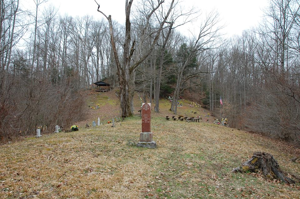
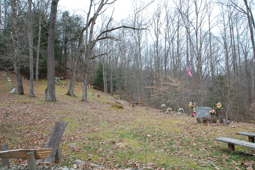
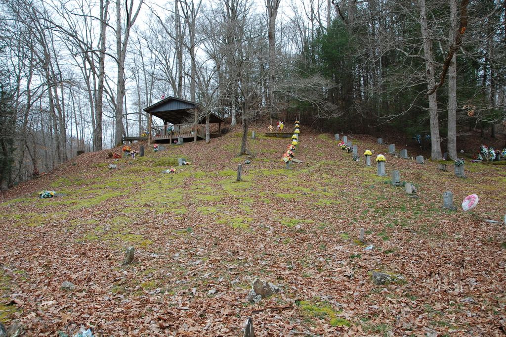
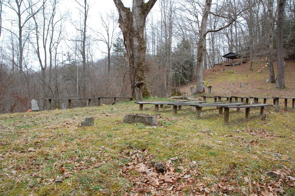
| Description | : | Take Hal Rogers Parkway to Exit for Hwy 66. After exiting, go south to Hwy 421/80. Take 421 East towards Bear Branch. Go through Bear Branch (in Leslie County) then once outside of town, turn left onto Ulysses Creek Road. Cross the bridge. Just across the bridge is a left turn onto a small country road (Cold Springs Rd) that dead ends at the Farmer-Roberts Cemetery. The cemetery is the only location on the road. The road will run parallel to Hal Rogers for a short period of time, then up a hill to a sharp... Read More |
frequently asked questions (FAQ):
-
Where is Farmer-Roberts Cemetery?
Farmer-Roberts Cemetery is located at Cold springs Rd Bear Branch, Leslie County ,Kentucky ,USA.
-
Farmer-Roberts Cemetery cemetery's updated grave count on graveviews.com?
0 memorials
-
Where are the coordinates of the Farmer-Roberts Cemetery?
Latitude: 37.1667300
Longitude: -83.5511800
Nearby Cemetories:
1. Spencers Branch Cemetery
Big Creek, Clay County, USA
Coordinate: 37.1610000, -83.5616600
2. Ulysses Creek Cemetery
Bear Branch, Leslie County, USA
Coordinate: 37.1710000, -83.5360000
3. Hensley Cemetery
Bear Branch, Leslie County, USA
Coordinate: 37.1747100, -83.5329400
4. Roberts Cemetery
Bear Branch, Leslie County, USA
Coordinate: 37.1747300, -83.5329500
5. Polly Marcum Cemetery
Big Creek, Clay County, USA
Coordinate: 37.1642303, -83.5870285
6. Lawson-Hensley Cemetery
Big Creek, Clay County, USA
Coordinate: 37.1733200, -83.5902700
7. Gibson-Begley Cemetery
Leslie County, USA
Coordinate: 37.1532020, -83.5075410
8. Alfred Bowling Cemetery
Eriline, Clay County, USA
Coordinate: 37.1844100, -83.5951800
9. Ledford Cemetery #1
Peabody, Clay County, USA
Coordinate: 37.1296900, -83.5702700
10. Roberts Cemetery
Big Creek, Clay County, USA
Coordinate: 37.1784200, -83.5993000
11. Jim Hoskins Family Cemetery
Peabody, Clay County, USA
Coordinate: 37.1438100, -83.5937900
12. Abe Couch Cemetery
Leslie County, USA
Coordinate: 37.1739100, -83.4953510
13. The Rose Garden Cemetery
Big Creek, Clay County, USA
Coordinate: 37.1462900, -83.6042700
14. Couch Fork Cemetery
Bear Branch, Leslie County, USA
Coordinate: 37.1641200, -83.4915600
15. Jesse Bowling Cemetery
Eriline, Clay County, USA
Coordinate: 37.1923700, -83.6031100
16. Collins Cemetery
Bear Branch, Leslie County, USA
Coordinate: 37.1775400, -83.4891600
17. Bailey Cemetery
Big Creek, Clay County, USA
Coordinate: 37.1430700, -83.6089900
18. Samuel Britton Cemetery
Eriline, Clay County, USA
Coordinate: 37.1982800, -83.6053200
19. Langdon Cemetery
Marcum, Clay County, USA
Coordinate: 37.1138200, -83.5649200
20. General Bowling Cemetery
Marcum, Clay County, USA
Coordinate: 37.1107000, -83.5581100
21. Hoskins Family Cemetery #1
Peabody, Clay County, USA
Coordinate: 37.1183014, -83.5875015
22. Gibson Branch Cemetery #02
Sizerock, Leslie County, USA
Coordinate: 37.2090680, -83.5013590
23. Gibson Branch Cemetery
Sizerock, Leslie County, USA
Coordinate: 37.2092700, -83.5012090
24. Ledford Cemetery #2
Big Creek, Clay County, USA
Coordinate: 37.1370900, -83.6157000