
| Memorials | : | 0 |
| Location | : | Ferkingstad, Karmøy kommune, Norway |
| Coordinate | : | 59.2128550, 5.1873220 |
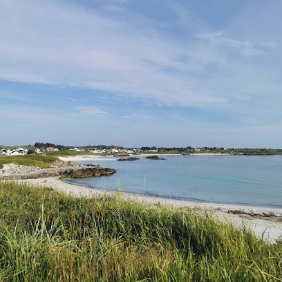
| Description | : | Ferkingstad gravplass (cemetery) is located a few hundred meters north of Ferkingstad kyrkje in the villiage of Ferkingstad on the western shore of the island of Karmøy, Rogaland, Norway. Ferkingstad kyrkje was completed in 1854. The white, wooden church was constructed using designs by architect Hans Listow and seats about 300 people in its sanctuary. |
frequently asked questions (FAQ):
-
Where is Ferkingstad gravplass?
Ferkingstad gravplass is located at Ferkingstad, Karmøy kommune ,Rogaland fylke ,Norway.
-
Ferkingstad gravplass cemetery's updated grave count on graveviews.com?
0 memorials
-
Where are the coordinates of the Ferkingstad gravplass?
Latitude: 59.2128550
Longitude: 5.1873220
Nearby Cemetories:
1. Åkra kirkegård
Akrehamn, Karmøy kommune, Norway
Coordinate: 59.2576700, 5.1944800
2. Falnes Churchyard
Falnes, Karmøy kommune, Norway
Coordinate: 59.1518750, 5.2811310
3. Kopervik Kirke
Kopervik, Karmøy kommune, Norway
Coordinate: 59.2816990, 5.3029880
4. Stangeland gravplass
Kopervik, Karmøy kommune, Norway
Coordinate: 59.2786960, 5.3179940
5. Avaldsnes kirkegård
Karmøy kommune, Norway
Coordinate: 59.3564720, 5.2911990
6. Torvastad kirkegård
Karmøy kommune, Norway
Coordinate: 59.3799542, 5.2317100
7. Norheim gravplass
Karmøy kommune, Norway
Coordinate: 59.3791380, 5.3002080
8. Norheim Kirkegård
Karmøy kommune, Norway
Coordinate: 59.3807470, 5.3087380
9. Vår Frelsers Gravlund
Haugesund, Haugesund kommune, Norway
Coordinate: 59.3937920, 5.2884480
10. Kvitsøy
Kvitsøy kommune, Norway
Coordinate: 59.0638965, 5.4163352
11. Tysvaer
Tysvaer, Tysvær kommune, Norway
Coordinate: 59.3314170, 5.4916040
12. Christine Elisabeths Gravlund
Haugesund kommune, Norway
Coordinate: 59.4185290, 5.2656720
13. Søndre Hauge Gravlund
Haugesund, Haugesund kommune, Norway
Coordinate: 59.4199340, 5.2609370
14. Nordre Hauge gravlund
Haugesund, Haugesund kommune, Norway
Coordinate: 59.4209110, 5.2606140
15. Utstein Kloster
Askje, Rennesøy kommune, Norway
Coordinate: 59.1029350, 5.5920310
16. Sørbø Church Cemetery
Vikevag, Rennesøy kommune, Norway
Coordinate: 59.1278680, 5.6437970
17. Askje Kirke
Askje, Rennesøy kommune, Norway
Coordinate: 59.0636760, 5.6867740
18. Randaberg Church Cemetery
Randaberg, Randaberg kommune, Norway
Coordinate: 58.9997720, 5.6189110
19. Skjoldastraumen
Skjoldastraumen, Tysvær kommune, Norway
Coordinate: 59.4324960, 5.6141990
20. Skjoldastraumen Gamle
Skjoldastraumen, Tysvær kommune, Norway
Coordinate: 59.4323390, 5.6150460
21. Grødem Kirke Cemetery
Grodeim, Randaberg kommune, Norway
Coordinate: 59.0089560, 5.6502660
22. Østhusvik
Osthusvik, Rennesøy kommune, Norway
Coordinate: 59.0859520, 5.7650760
23. Hesby
Hesby, Finnøy kommune, Norway
Coordinate: 59.1760870, 5.8141380
24. Sveio Nye
Sveio, Sveio kommune, Norway
Coordinate: 59.5393490, 5.3387540