
| Memorials | : | 0 |
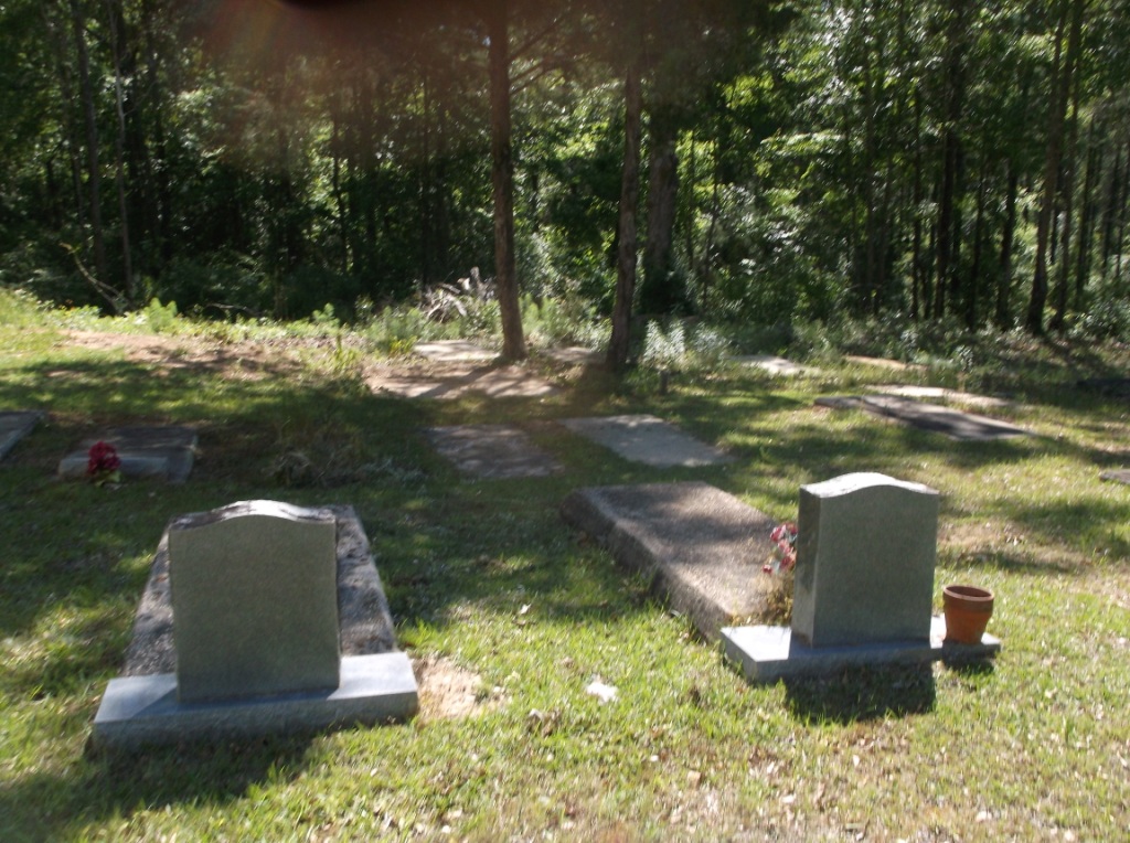
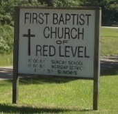
| Location | : | Red Level, Covington County, USA |
| Coordinate | : | 31.4059000, -86.6033100 |
| Description | : | Township 5N, Range 14E, Section 13, Just inside city limits of Red Level on County Road 82/7 |
frequently asked questions (FAQ):
-
Where is First Baptist Church Cemetery?
First Baptist Church Cemetery is located at Red Level, Covington County ,Alabama ,USA.
-
First Baptist Church Cemetery cemetery's updated grave count on graveviews.com?
0 memorials
-
Where are the coordinates of the First Baptist Church Cemetery?
Latitude: 31.4059000
Longitude: -86.6033100

Nearby Cemetories:
1. Buck Creek Baptist Church Cemetery
Covington County, USA
Coordinate: 31.4116707, -86.6052246
2. Fairmount Cemetery
Red Level, Covington County, USA
Coordinate: 31.3999138, -86.6118774
3. New Hope Independent Baptist Church Cemetery
Red Level, Covington County, USA
Coordinate: 31.3958900, -86.5911900
4. Mancill Cemetery
Red Level, Covington County, USA
Coordinate: 31.3917007, -86.6333008
5. Bethlehem Cemetery
Covington County, USA
Coordinate: 31.3663998, -86.6085968
6. South Church of God Cemetery
Red Level, Covington County, USA
Coordinate: 31.4525860, -86.6165170
7. Mott Church of Christ Cemetery
Red Level, Covington County, USA
Coordinate: 31.4555930, -86.6185180
8. Mount Carmel Cemetery
Boykin, Covington County, USA
Coordinate: 31.4719009, -86.5774994
9. River Falls Cemetery
River Falls, Covington County, USA
Coordinate: 31.3460999, -86.5472031
10. Pigeon Creek Baptist Church Memorial Cemetery
Red Level, Covington County, USA
Coordinate: 31.4841995, -86.6164017
11. Long Branch Cemetery
Cohassett, Conecuh County, USA
Coordinate: 31.3885994, -86.6941986
12. Mitchell Cemetery
Covington County, USA
Coordinate: 31.3391991, -86.6656036
13. Gorum Cemetery
Red Level, Covington County, USA
Coordinate: 31.4651110, -86.6790130
14. Pleasant Grove Baptist Church Cemetery
Covington County, USA
Coordinate: 31.3273490, -86.6491860
15. Pigeon Creek Baptist Church Memorial #2
Covington County, USA
Coordinate: 31.4943000, -86.6303600
16. Mount Pilgrim Church Cemetery
Covington County, USA
Coordinate: 31.3257999, -86.6549988
17. New Home Primitive Baptist Church Cemetery
Andalusia, Covington County, USA
Coordinate: 31.4817660, -86.5338060
18. Rawls Baptist Church Cemetery
Covington County, USA
Coordinate: 31.4486542, -86.4999924
19. Vera Cruz Cemetery
Boykin, Covington County, USA
Coordinate: 31.5060997, -86.5975037
20. Gantt Memorial Cemetery
Gantt, Covington County, USA
Coordinate: 31.3948140, -86.4856050
21. Nall Plantation Cemetery
Covington County, USA
Coordinate: 31.4754550, -86.5167800
22. Brooks Baptist Church Cemetery
Covington County, USA
Coordinate: 31.4799995, -86.6864014
23. New Home Congregational Church Cemetery
Covington County, USA
Coordinate: 31.3022003, -86.5927963
24. Able Cemetery
Gantt, Covington County, USA
Coordinate: 31.4078007, -86.4794006