
| Memorials | : | 0 |
| Location | : | Boykin, Covington County, USA |
| Coordinate | : | 31.4719009, -86.5774994 |
| Description | : | 2.7 Miles North of Boykin 4.9 Miles SSW of Red Level |
frequently asked questions (FAQ):
-
Where is Mount Carmel Cemetery?
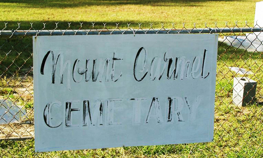
Mount Carmel Cemetery is located at Hesters Store Rd (Co Rd 51) Boykin, Covington County ,Alabama , 36723USA.
-
Mount Carmel Cemetery cemetery's updated grave count on graveviews.com?
0 memorials
-
Where are the coordinates of the Mount Carmel Cemetery?
Latitude: 31.4719009
Longitude: -86.5774994
Nearby Cemetories:
1. Pigeon Creek Baptist Church Memorial Cemetery
Red Level, Covington County, USA
Coordinate: 31.4841995, -86.6164017
2. Vera Cruz Cemetery
Boykin, Covington County, USA
Coordinate: 31.5060997, -86.5975037
3. South Church of God Cemetery
Red Level, Covington County, USA
Coordinate: 31.4525860, -86.6165170
4. New Home Primitive Baptist Church Cemetery
Andalusia, Covington County, USA
Coordinate: 31.4817660, -86.5338060
5. Mott Church of Christ Cemetery
Red Level, Covington County, USA
Coordinate: 31.4555930, -86.6185180
6. Pigeon Creek Baptist Church Memorial #2
Covington County, USA
Coordinate: 31.4943000, -86.6303600
7. Nall Plantation Cemetery
Covington County, USA
Coordinate: 31.4754550, -86.5167800
8. Kervin Cemetery
Red Level, Covington County, USA
Coordinate: 31.5142002, -86.6283035
9. Buck Creek Baptist Church Cemetery
Covington County, USA
Coordinate: 31.4116707, -86.6052246
10. First Baptist Church Cemetery
Red Level, Covington County, USA
Coordinate: 31.4059000, -86.6033100
11. Rawls Baptist Church Cemetery
Covington County, USA
Coordinate: 31.4486542, -86.4999924
12. New Hope Independent Baptist Church Cemetery
Red Level, Covington County, USA
Coordinate: 31.3958900, -86.5911900
13. Fairmount Cemetery
Red Level, Covington County, USA
Coordinate: 31.3999138, -86.6118774
14. Oak Grove Baptist Church Cemetery
Gantt, Covington County, USA
Coordinate: 31.4986750, -86.4869527
15. Gorum Cemetery
Red Level, Covington County, USA
Coordinate: 31.4651110, -86.6790130
16. Oakey Streak Methodist Church Cemetery
Oaky Streak, Butler County, USA
Coordinate: 31.5519009, -86.5363998
17. Garden Baptist Church Cemetery
Covington County, USA
Coordinate: 31.5067400, -86.6740600
18. Brooks Baptist Church Cemetery
Covington County, USA
Coordinate: 31.4799995, -86.6864014
19. Mancill Cemetery
Red Level, Covington County, USA
Coordinate: 31.3917007, -86.6333008
20. Consolation Cemetery
Oaky Streak, Butler County, USA
Coordinate: 31.5692005, -86.5481033
21. Bethel Primitive Baptist Church Cemetery
Covington County, USA
Coordinate: 31.5214005, -86.6857986
22. Able Cemetery
Gantt, Covington County, USA
Coordinate: 31.4078007, -86.4794006
23. Macedonia Cemetery
Butler County, USA
Coordinate: 31.5713997, -86.6228027
24. Bethlehem Cemetery
Covington County, USA
Coordinate: 31.3663998, -86.6085968