
| Memorials | : | 15 |
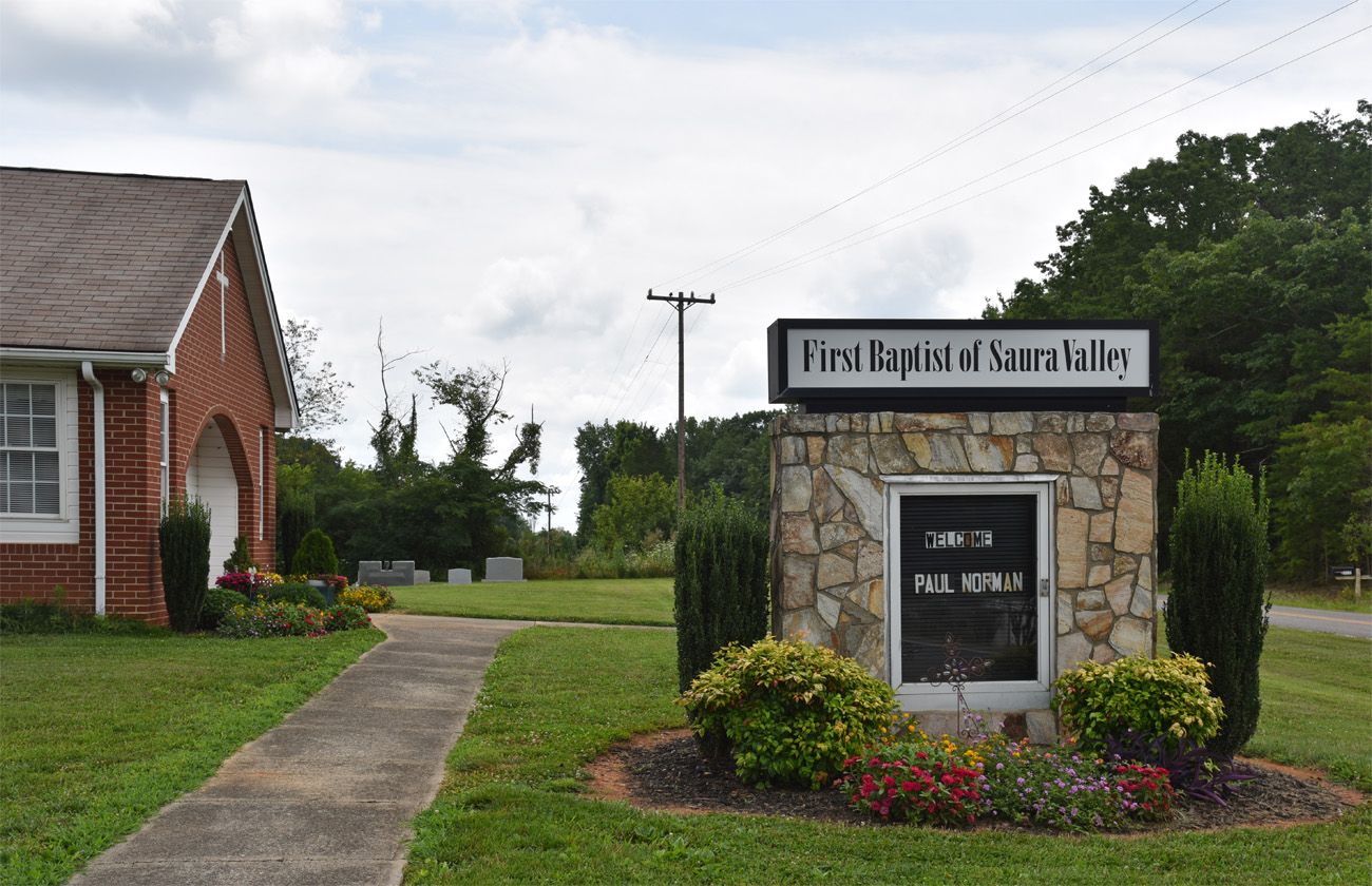
| Location | : | Boyles Chapel, Stokes County, USA |
| Coordinate | : | 36.3659150, -80.3471800 |
| Description | : | From the intersection of YMCA Camp Road and NC 66 Highway South, travel 1.6 miles on YMCA Camp Road; the church and cemetery will be on the right. |
frequently asked questions (FAQ):
-
Where is First Baptist of Saura Valley Church Cemetery?
First Baptist of Saura Valley Church Cemetery is located at 3155 YMCA Camp Road Boyles Chapel, Stokes County ,North Carolina , 27021USA.
-
First Baptist of Saura Valley Church Cemetery cemetery's updated grave count on graveviews.com?
15 memorials
-
Where are the coordinates of the First Baptist of Saura Valley Church Cemetery?
Latitude: 36.3659150
Longitude: -80.3471800
Nearby Cemetories:
1. Aubrey Junior Bullins Family Cemetery
Capella, Stokes County, USA
Coordinate: 36.3659740, -80.3296720
2. Bennett Cemetery
Stokes County, USA
Coordinate: 36.3483009, -80.3518982
3. Wilkes Family Cemetery
Capella, Stokes County, USA
Coordinate: 36.3581650, -80.3265170
4. Capella Church of Christ Cemetery
Capella, Stokes County, USA
Coordinate: 36.3595740, -80.3227160
5. Boyles Chapel Primitive Baptist Church Cemetery
Boyles Chapel, Stokes County, USA
Coordinate: 36.3493048, -80.3306086
6. Closer Walk Baptist Church Cemetery
Capella, Stokes County, USA
Coordinate: 36.3773740, -80.3228900
7. Badgett Family Cemetery
Chestnut Grove, Stokes County, USA
Coordinate: 36.3416000, -80.3717180
8. Flippin Family Cemetery
Capella, Stokes County, USA
Coordinate: 36.3772100, -80.3033210
9. John Martin Family Cemetery
Flat Rock, Stokes County, USA
Coordinate: 36.4036590, -80.3600630
10. Chestnut Grove United Methodist Church Cemetery
Chestnut Grove, Stokes County, USA
Coordinate: 36.3229670, -80.3847640
11. New Beginning Baptist Church Cemetery
Brims Grove, Stokes County, USA
Coordinate: 36.4177430, -80.3940760
12. LJ and S Kiser Family Cemetery
Flat Shoals, Stokes County, USA
Coordinate: 36.3579750, -80.2627280
13. Brim Family Cemetery
Stokes County, USA
Coordinate: 36.4026952, -80.4201749
14. Frances Memorial Primitive Baptist Church Cemetery
Brown Mountain, Stokes County, USA
Coordinate: 36.4303550, -80.3831110
15. Brims Grove Cemetery
Brims Grove, Stokes County, USA
Coordinate: 36.4104340, -80.4169710
16. Edwards Cemetery
Stokes County, USA
Coordinate: 36.3196983, -80.4156036
17. David Nicholas Dalton Family Cemetery
Dalton, Stokes County, USA
Coordinate: 36.3044930, -80.3955430
18. Dalton Chapel Cemetery
Dalton, Stokes County, USA
Coordinate: 36.2975780, -80.3900820
19. Brown Mountain Baptist Church Cemetery
Brown Mountain, Stokes County, USA
Coordinate: 36.4482390, -80.3635740
20. Gospel Baptist Church Cemetery
Brims Grove, Stokes County, USA
Coordinate: 36.4205140, -80.4255970
21. Flat Shoals Primitive Baptist Church Cemetery
Flat Shoals, Stokes County, USA
Coordinate: 36.3655210, -80.2432070
22. James T. Greene Family Cemetery
Germanton, Stokes County, USA
Coordinate: 36.3360730, -80.2490890
23. Lawrence Cemetery
Pilot Mountain, Surry County, USA
Coordinate: 36.3716080, -80.4537230
24. Alexander Lee Joyce Family Cemetery
Brims Grove, Stokes County, USA
Coordinate: 36.4272000, -80.4233000