
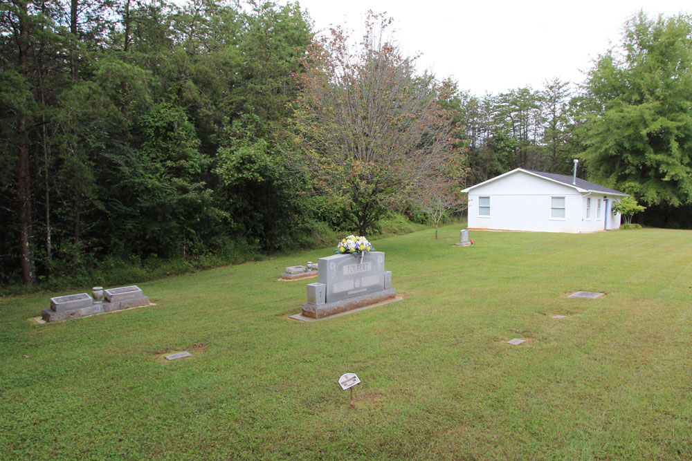
| Memorials | : | 7 |
| Location | : | Brims Grove, Stokes County, USA |
| Coordinate | : | 36.4205140, -80.4255970 |
| Description | : | From the intersection of Bob Lynch Road and Mitchell Road, travel 0.18 miles on Bob Lynch Road; the church will be on the left. The cemetery is located behind the church. |
frequently asked questions (FAQ):
-
Where is Gospel Baptist Church Cemetery?
Gospel Baptist Church Cemetery is located at 1085 Bob Lynch Road Brims Grove, Stokes County ,North Carolina , 27041USA.
-
Gospel Baptist Church Cemetery cemetery's updated grave count on graveviews.com?
0 memorials
-
Where are the coordinates of the Gospel Baptist Church Cemetery?
Latitude: 36.4205140
Longitude: -80.4255970
Nearby Cemetories:
1. Alexander Lee Joyce Family Cemetery
Brims Grove, Stokes County, USA
Coordinate: 36.4272000, -80.4233000
2. Brims Grove Cemetery
Brims Grove, Stokes County, USA
Coordinate: 36.4104340, -80.4169710
3. Captain Bill Wilson Family Cemetery
Brims Grove, Stokes County, USA
Coordinate: 36.4168750, -80.4405590
4. Brim Family Cemetery
Stokes County, USA
Coordinate: 36.4026952, -80.4201749
5. New Beginning Baptist Church Cemetery
Brims Grove, Stokes County, USA
Coordinate: 36.4177430, -80.3940760
6. McDaniel Family Cemetery
Pilot Mountain, Surry County, USA
Coordinate: 36.4285800, -80.4560500
7. Jessup Family Cemetery
Pilot Mountain, Surry County, USA
Coordinate: 36.4282990, -80.4563980
8. Waugh Cemetery
Westfield, Surry County, USA
Coordinate: 36.4413986, -80.4480972
9. Hills Presbyterian Church Cemetery
Hills Grove, Surry County, USA
Coordinate: 36.4234161, -80.4621658
10. Hills Village Family Cemetery
Hills Grove, Surry County, USA
Coordinate: 36.4352200, -80.4594500
11. Frances Memorial Primitive Baptist Church Cemetery
Brown Mountain, Stokes County, USA
Coordinate: 36.4303550, -80.3831110
12. Rescue Baptist Church Cemetery
Pilot Mountain, Surry County, USA
Coordinate: 36.3898080, -80.4613240
13. Lovells Chapel Church Cemetery
Pilot Mountain, Surry County, USA
Coordinate: 36.3879160, -80.4652290
14. Hunter Cemetery
Surry County, USA
Coordinate: 36.4566994, -80.4700012
15. Nunn Family Cemetery
Brown Mountain, Stokes County, USA
Coordinate: 36.4510994, -80.3722000
16. Green Family Cemetery
Pilot Mountain, Surry County, USA
Coordinate: 36.3956630, -80.4833990
17. Westfield Friends Cemetery
Westfield, Surry County, USA
Coordinate: 36.4687220, -80.4527220
18. Pilot Mountain City Cemetery
Pilot Mountain, Surry County, USA
Coordinate: 36.3918343, -80.4809418
19. Lawrence Cemetery
Pilot Mountain, Surry County, USA
Coordinate: 36.3716080, -80.4537230
20. Jessup Grove Baptist Church Cemetery
Pilot Mountain, Surry County, USA
Coordinate: 36.4432780, -80.4865280
21. John Martin Family Cemetery
Flat Rock, Stokes County, USA
Coordinate: 36.4036590, -80.3600630
22. Brown Mountain Baptist Church Cemetery
Brown Mountain, Stokes County, USA
Coordinate: 36.4482390, -80.3635740
23. Westfield Baptist Church Cemetery
Westfield, Surry County, USA
Coordinate: 36.4753850, -80.4464010
24. Beulahland Baptist Church Cemetery
Pilot Mountain, Surry County, USA
Coordinate: 36.4037330, -80.4954900