| Memorials | : | 0 |
| Location | : | Ossett, Metropolitan Borough of Wakefield, England |
| Coordinate | : | 53.6741000, -1.5536900 |
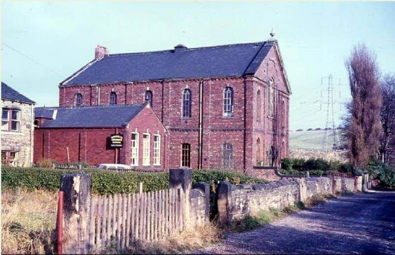
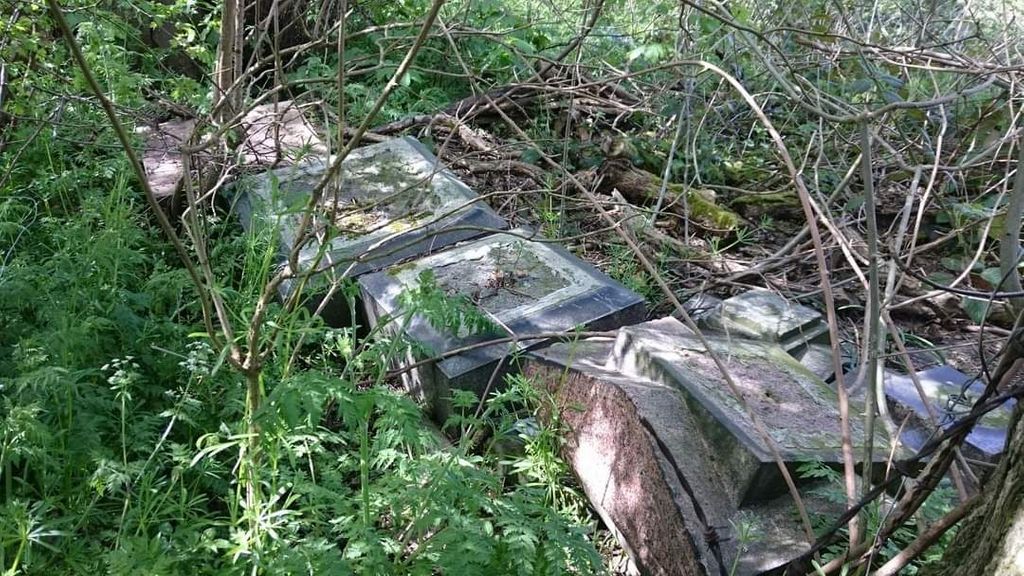
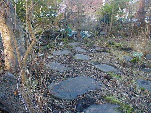
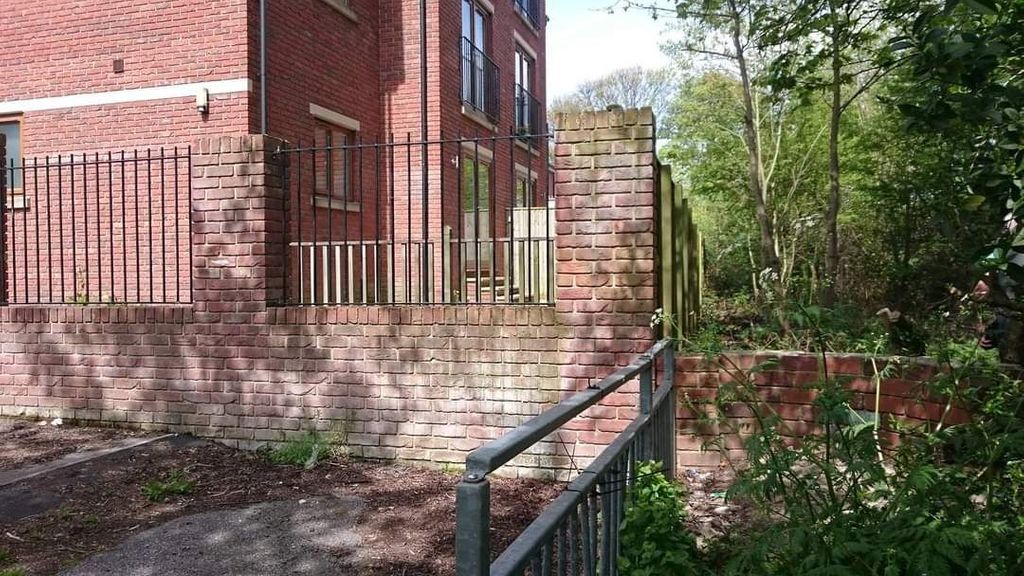
| Description | : | This cemetery was associated with the First Ossett Baptist Church. The church buildings were located on the west side of the cemetery along Baptist Lane. These were demolished in the 1970s. In 2002, the adjoining cemetery was destroyed when machinery was brought in to break apart the headstones and level the ground. A few weeks later, it was revealed that few of the houses recently built on Roundwood Lane were actually located within the confines of the cemetery and that at least two homes had multiple burials in their backyards. The 2002 demolition of the cemetery was apparently sanctioned... Read More |
frequently asked questions (FAQ):
-
Where is First Ossett Baptist Cemetery?
First Ossett Baptist Cemetery is located at Baptist Lane Ossett, Metropolitan Borough of Wakefield ,West Yorkshire , WF5 0HDEngland.
-
First Ossett Baptist Cemetery cemetery's updated grave count on graveviews.com?
0 memorials
-
Where are the coordinates of the First Ossett Baptist Cemetery?
Latitude: 53.6741000
Longitude: -1.5536900
Nearby Cemetories:
1. St John Methodist Churchyard
Ossett, Metropolitan Borough of Wakefield, England
Coordinate: 53.6762570, -1.5609540
2. Horbury Cemetery
Horbury, Metropolitan Borough of Wakefield, England
Coordinate: 53.6633860, -1.5564190
3. Christ Church Churchyard
Ossett, Metropolitan Borough of Wakefield, England
Coordinate: 53.6702980, -1.5726380
4. St. Peter and St. Leonard Churchyard
Horbury, Metropolitan Borough of Wakefield, England
Coordinate: 53.6608920, -1.5549780
5. Ossett Congregational Burial Ground (Defunct)
Ossett, Metropolitan Borough of Wakefield, England
Coordinate: 53.6751000, -1.5797600
6. St. Mary's Churchyard
Horbury, Metropolitan Borough of Wakefield, England
Coordinate: 53.6596419, -1.5390711
7. Manor Road Cemetery
Ossett, Metropolitan Borough of Wakefield, England
Coordinate: 53.6767820, -1.5854640
8. Holy Trinity Churchyard
Ossett, Metropolitan Borough of Wakefield, England
Coordinate: 53.6858520, -1.5832240
9. St Paul Churchyard
Alverthorpe, Metropolitan Borough of Wakefield, England
Coordinate: 53.6921960, -1.5320940
10. Alverthorpe Cemetery
Alverthorpe, Metropolitan Borough of Wakefield, England
Coordinate: 53.6926990, -1.5318500
11. St Michael Churchyard
Wakefield, Metropolitan Borough of Wakefield, England
Coordinate: 53.6790820, -1.5135400
12. Unitarian Burial Ground
Wakefield, Metropolitan Borough of Wakefield, England
Coordinate: 53.6796218, -1.5125998
13. Westgate Chapel
Wakefield, Metropolitan Borough of Wakefield, England
Coordinate: 53.6823200, -1.5042600
14. St. James with Christ Churchyard
Thornes, Metropolitan Borough of Wakefield, England
Coordinate: 53.6727700, -1.5023350
15. Zion Congregational Burial Ground
Gawthorpe, Metropolitan Borough of Wakefield, England
Coordinate: 53.6975300, -1.5879900
16. St. John The Baptist Churchyard
Wakefield, Metropolitan Borough of Wakefield, England
Coordinate: 53.6883040, -1.5055020
17. West Parade Wesleyan Methodist Burial Ground
Wakefield, Metropolitan Borough of Wakefield, England
Coordinate: 53.6795410, -1.4954980
18. Wakefield Cathedral Churchyard
Wakefield, Metropolitan Borough of Wakefield, England
Coordinate: 53.6828910, -1.4962640
19. Vicar’s Croft Burial Ground (Defunct)
Wakefield, Metropolitan Borough of Wakefield, England
Coordinate: 53.6833820, -1.4943720
20. Earlsheaton Cemetery
Dewsbury, Metropolitan Borough of Kirklees, England
Coordinate: 53.6916450, -1.6080690
21. Crigglestone Cemetery
Crigglestone, Metropolitan Borough of Wakefield, England
Coordinate: 53.6432430, -1.5161240
22. Wakefield Crematorium
Crigglestone, Metropolitan Borough of Wakefield, England
Coordinate: 53.6437850, -1.5147430
23. St Andrew and St Mary Churchyard
Wakefield, Metropolitan Borough of Wakefield, England
Coordinate: 53.6826980, -1.4898550
24. St Michael and All Angels Churchyard
Thornhill, Metropolitan Borough of Kirklees, England
Coordinate: 53.6655180, -1.6177790


