
| Memorials | : | 0 |
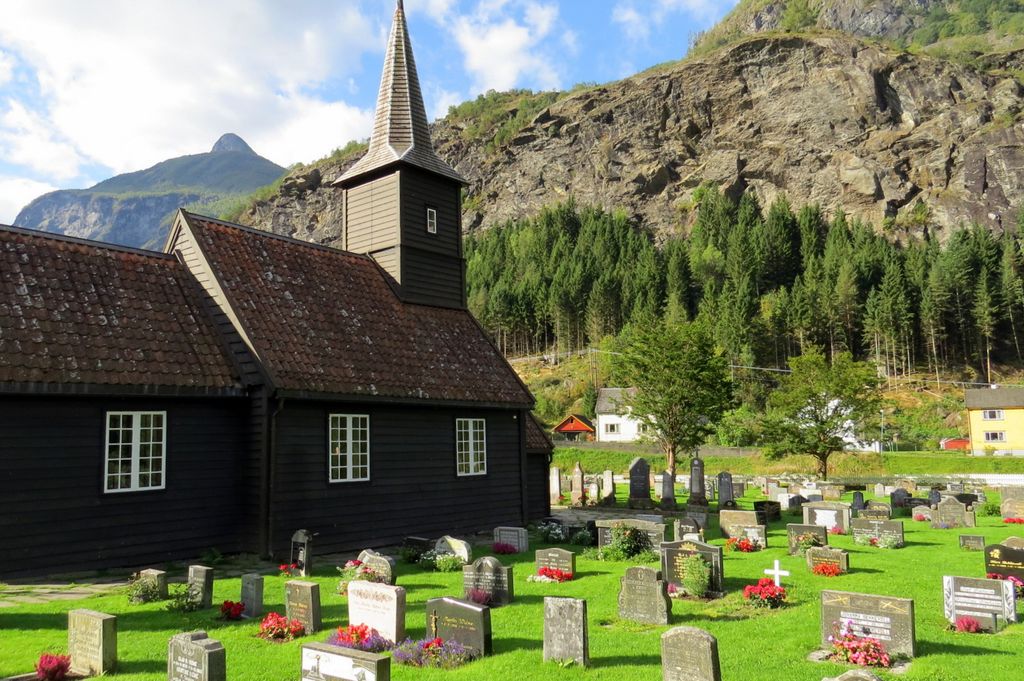
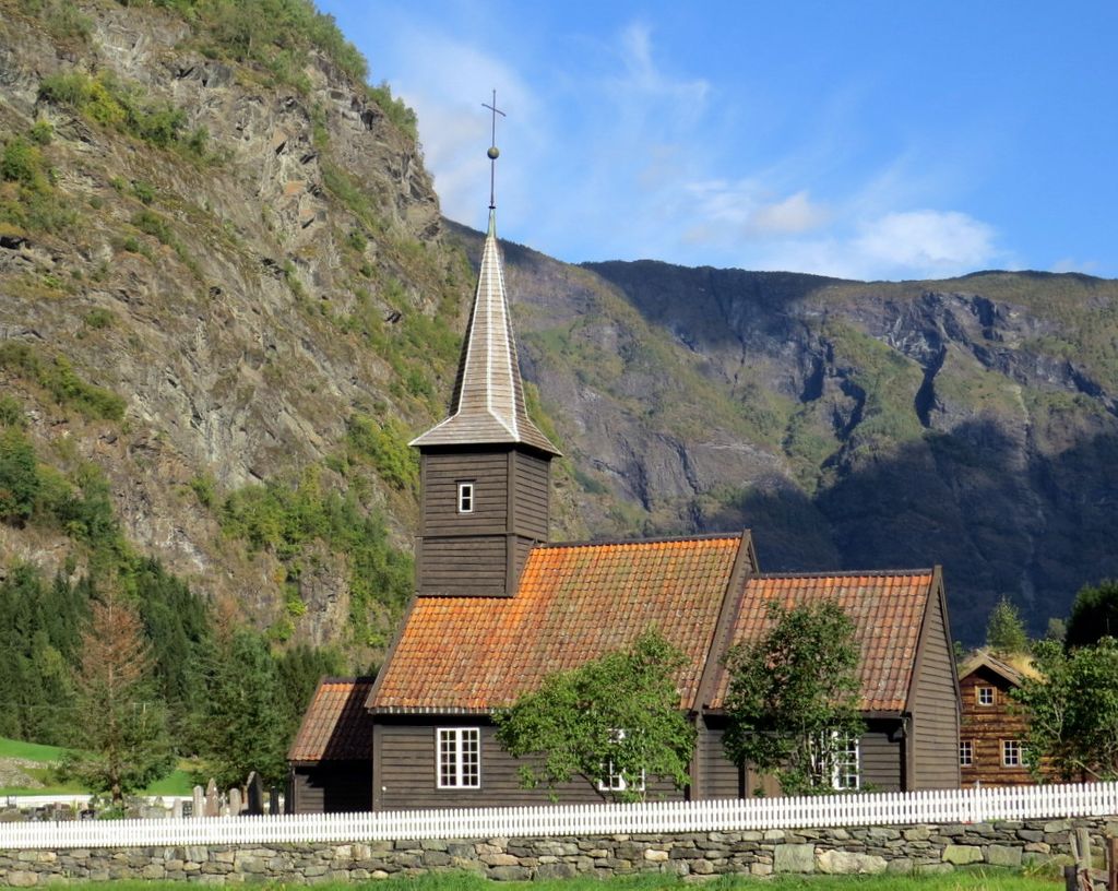
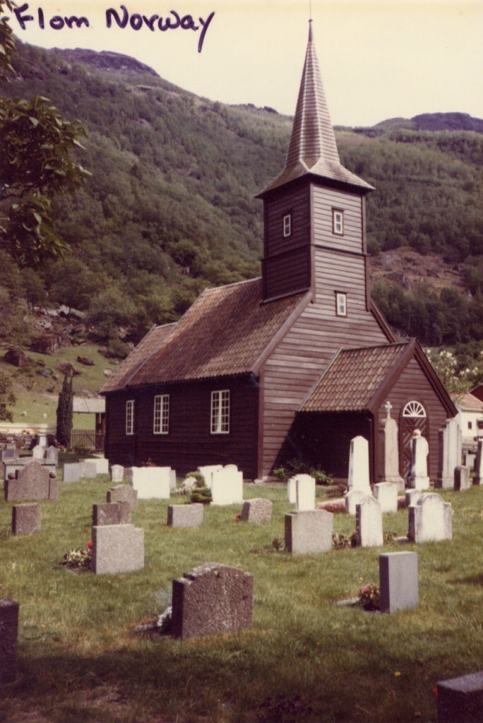
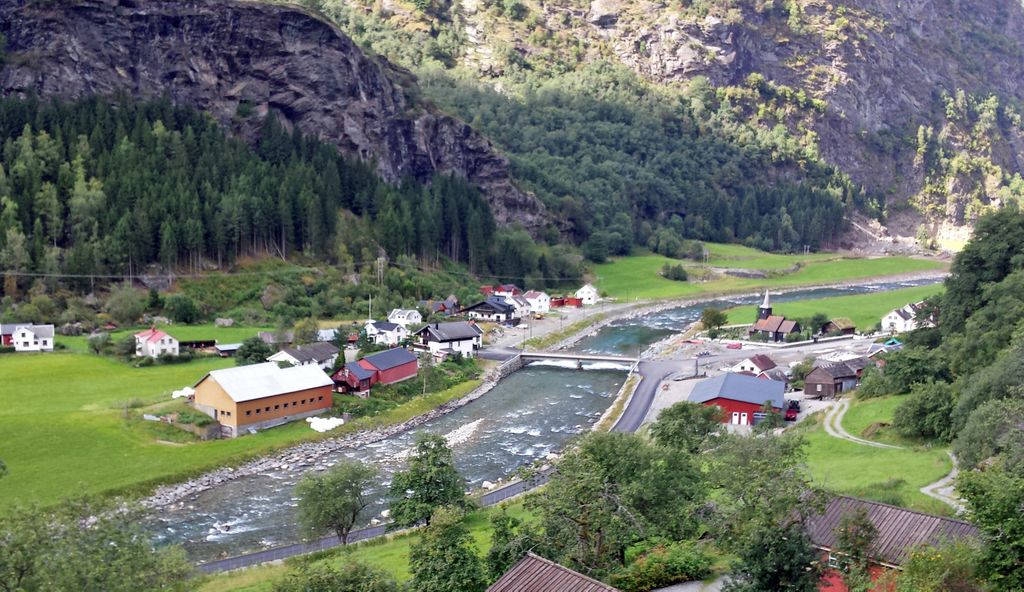
| Location | : | Flam, Aurland kommune, Norway |
| Coordinate | : | 60.8378100, 7.1208500 |
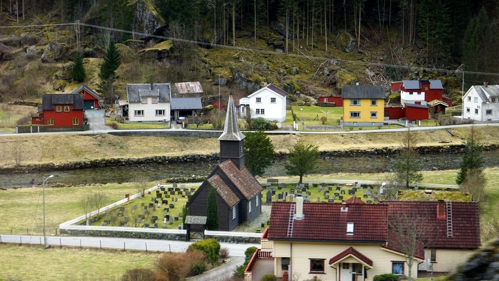
| Description | : | After the introduction of Christianity around 1000, churches were built in Flåm. In "The Bergen Calf Skin," a book from around 1350, there is mention of two church in Flåm. One is called "The church in Flåm" and has most probably been the parish church of the valley. The other is called "The chapel at Fretheim" and was probably a private chapel on a farm. An inspection in 1660 revealed that the church was in very bad condition. In 1667 an agreement was made with Magne Knudsen Essen to build a new church. He finished the... Read More |
frequently asked questions (FAQ):
-
Where is Flaam Church Cemetery?
Flaam Church Cemetery is located at Flam, Aurland kommune ,Sogn og Fjordane fylke ,Norway.
-
Flaam Church Cemetery cemetery's updated grave count on graveviews.com?
0 memorials
-
Where are the coordinates of the Flaam Church Cemetery?
Latitude: 60.8378100
Longitude: 7.1208500
Nearby Cemetories:
1. Vangen Kyrkje
Aurlandsvangen, Aurland kommune, Norway
Coordinate: 60.9069870, 7.1888140
2. Jordal gravplass
Jordalen, Voss kommune, Norway
Coordinate: 60.8826107, 6.7179916
3. Fresvik Church Cemetery
Fresvik, Vik kommune, Norway
Coordinate: 61.0733490, 6.9391750
4. Skiple gravplass
Skiple, Voss kommune, Norway
Coordinate: 60.6830308, 6.6731636
5. Oppheim Church Cemetery
Voss kommune, Norway
Coordinate: 60.7927800, 6.5752800
6. Oppheim Gamle kyrkjegard
Voss kommune, Norway
Coordinate: 60.7935686, 6.5717445
7. Ulvik Nye
Ulvik, Ulvik kommune, Norway
Coordinate: 60.5696820, 6.9176740
8. Rossvoll Kirkegaard
Ulvik, Ulvik kommune, Norway
Coordinate: 60.5694440, 6.9180160
9. Raundalen kyrkjegard
Voss kommune, Norway
Coordinate: 60.6777170, 6.6328429
10. Vinje Church Cemetery
Vinje, Voss kommune, Norway
Coordinate: 60.7925000, 6.5112000
11. Hauge Church Cemetery
Lærdal kommune, Norway
Coordinate: 61.0991905, 7.4948466
12. Norum Cemetery
Sogndalsfjora, Sogndal kommune, Norway
Coordinate: 61.1707220, 6.9939710
13. Granvin Kyrkjegård
Granvin, Granvin kommune, Norway
Coordinate: 60.5552000, 6.7320000
14. Kaupanger
Kaupanger, Sogndal kommune, Norway
Coordinate: 61.1844770, 7.2333140
15. Kyrkjetræet kyrkjegard
Eidfjord, Eidfjord kommune, Norway
Coordinate: 60.4621100, 7.0715000
16. Eidfjord gamle Kyrkje
Eidfjord, Eidfjord kommune, Norway
Coordinate: 60.4617720, 7.0715580
17. Stedje Church
Sogndalsfjora, Sogndal kommune, Norway
Coordinate: 61.2265220, 7.0957300
18. Borgund Stave Church Cemetery
Laerdalsoyri, Lærdal kommune, Norway
Coordinate: 61.0473408, 7.8126800
19. Tunshovden
Voss, Voss kommune, Norway
Coordinate: 60.6275030, 6.4239051
20. Voss Cemetery
Voss, Voss kommune, Norway
Coordinate: 60.6271990, 6.4230530
21. Ved Vangskyrkja
Voss, Voss kommune, Norway
Coordinate: 60.6286979, 6.4169440
22. Solvorn Gamle
Solvorn, Luster kommune, Norway
Coordinate: 61.2995680, 7.2365000
23. Tjugum Cemetery
Balestrand, Balestrand kommune, Norway
Coordinate: 61.2154570, 6.5430400
24. Nesheim gamle Kyrkjegård
Vaksdal kommune, Norway
Coordinate: 60.7992750, 6.1568180