
| Memorials | : | 0 |
| Location | : | Flag Springs, Andrew County, USA |
| Coordinate | : | 40.0147600, -94.6719800 |
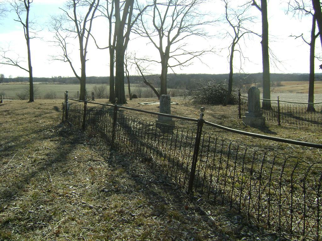
| Description | : | First known as Platte River Congregation Empire Township, Section 14 Andrew County, Missouri Directions:From Savannah, go east on Hwy E 3.5 miles to D. North on D 3.5 miles to County Road 223. East on CR 223 for 2.1 miles to CR 221. North and east on 221 for 1.3 miles to CR 216. Follow 216 for 3/1 miles to CR 214. North on 214 for 0.1 mile. |
frequently asked questions (FAQ):
-
Where is Flag Springs Cumberland Presbyterian Cemetery?
Flag Springs Cumberland Presbyterian Cemetery is located at Flag Springs, Andrew County ,Missouri ,USA.
-
Flag Springs Cumberland Presbyterian Cemetery cemetery's updated grave count on graveviews.com?
0 memorials
-
Where are the coordinates of the Flag Springs Cumberland Presbyterian Cemetery?
Latitude: 40.0147600
Longitude: -94.6719800
Nearby Cemetories:
1. Flag Springs Cemetery
Flag Springs, Andrew County, USA
Coordinate: 40.0237541, -94.6701889
2. Kirtley Cemetery
Savannah, Andrew County, USA
Coordinate: 39.9911110, -94.6738940
3. Bashor Cemetery
Flag Springs, Andrew County, USA
Coordinate: 40.0292300, -94.6288900
4. Empire Cemetery
Empire Prairie, Andrew County, USA
Coordinate: 40.0464592, -94.6395416
5. Whitesville Cemetery
Whitesville, Andrew County, USA
Coordinate: 40.0626183, -94.7162094
6. Clemmens Cemetery
Whitesville, Andrew County, USA
Coordinate: 40.0401430, -94.7413400
7. Bedford Chapel Cemetery
Andrew County, USA
Coordinate: 39.9886017, -94.7481003
8. Union Star Cemetery
Union Star, DeKalb County, USA
Coordinate: 39.9872017, -94.5941467
9. Star Chapel United Methodist Cemetery
Empire Prairie, Andrew County, USA
Coordinate: 40.0828094, -94.6399231
10. Daily Cemetery
Savannah, Andrew County, USA
Coordinate: 39.9652960, -94.7497470
11. McGlothlin Cemetery
Andrew County, USA
Coordinate: 40.0097700, -94.7740400
12. Pleasant Valley Cemetery
DeKalb County, USA
Coordinate: 40.0305900, -94.5549700
13. Helena Cemetery
Helena, Andrew County, USA
Coordinate: 39.9216620, -94.6581080
14. Oak Grove Cemetery
Union Star, DeKalb County, USA
Coordinate: 39.9513206, -94.5812607
15. Ogle Grove Cemetery
Union Star, DeKalb County, USA
Coordinate: 39.9449997, -94.5808029
16. Walnut Grove Methodist Cemetery
Andrew County, USA
Coordinate: 40.0967598, -94.7518311
17. Mize II Cemetery
Jacksonville, Gentry County, USA
Coordinate: 40.1040700, -94.6061200
18. Andrew County Poor Farm Cemetery
Savannah, Andrew County, USA
Coordinate: 39.9309100, -94.7566530
19. Rochester Cemetery
Andrew County, USA
Coordinate: 39.9075540, -94.6785090
20. Coffman Cemetery
Wyeth, Andrew County, USA
Coordinate: 39.9961014, -94.8099976
21. Fairview Christian Cemetery
Rosendale, Andrew County, USA
Coordinate: 40.0102090, -94.8198890
22. Hammer Cemetery
King City, Gentry County, USA
Coordinate: 40.1043100, -94.5740100
23. Lower Neely Grove Cemetery
Andrew County, USA
Coordinate: 40.0627594, -94.8138733
24. Long Branch Christian Cemetery
Andrew County, USA
Coordinate: 39.9008210, -94.7389950