
| Memorials | : | 1 |
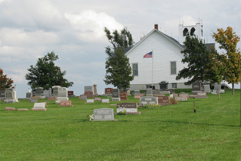
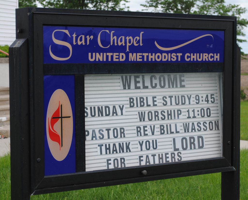
| Location | : | Empire Prairie, Andrew County, USA |
| Coordinate | : | 40.0828094, -94.6399231 |
frequently asked questions (FAQ):
-
Where is Star Chapel United Methodist Cemetery?
Star Chapel United Methodist Cemetery is located at Empire Prairie, Andrew County ,Missouri ,USA.
-
Star Chapel United Methodist Cemetery cemetery's updated grave count on graveviews.com?
1 memorials
-
Where are the coordinates of the Star Chapel United Methodist Cemetery?
Latitude: 40.0828094
Longitude: -94.6399231
Nearby Cemetories:
1. Mize II Cemetery
Jacksonville, Gentry County, USA
Coordinate: 40.1040700, -94.6061200
2. Empire Cemetery
Empire Prairie, Andrew County, USA
Coordinate: 40.0464592, -94.6395416
3. Bashor Cemetery
Flag Springs, Andrew County, USA
Coordinate: 40.0292300, -94.6288900
4. Hammer Cemetery
King City, Gentry County, USA
Coordinate: 40.1043100, -94.5740100
5. Whitesville Cemetery
Whitesville, Andrew County, USA
Coordinate: 40.0626183, -94.7162094
6. Flag Springs Cemetery
Flag Springs, Andrew County, USA
Coordinate: 40.0237541, -94.6701889
7. Lafayette Cemetery
Guilford, Nodaway County, USA
Coordinate: 40.1478806, -94.6112366
8. Flag Springs Cumberland Presbyterian Cemetery
Flag Springs, Andrew County, USA
Coordinate: 40.0147600, -94.6719800
9. Meeker Cemetery
Gentry County, USA
Coordinate: 40.1481018, -94.5969009
10. Pleasant Valley Cemetery
DeKalb County, USA
Coordinate: 40.0305900, -94.5549700
11. Walnut Grove Methodist Cemetery
Andrew County, USA
Coordinate: 40.0967598, -94.7518311
12. Clemmens Cemetery
Whitesville, Andrew County, USA
Coordinate: 40.0401430, -94.7413400
13. Kirtley Cemetery
Savannah, Andrew County, USA
Coordinate: 39.9911110, -94.6738940
14. Groves Cemetery
Guilford, Nodaway County, USA
Coordinate: 40.1567001, -94.7221985
15. Union Star Cemetery
Union Star, DeKalb County, USA
Coordinate: 39.9872017, -94.5941467
16. King City Cemetery
King City, Gentry County, USA
Coordinate: 40.0534897, -94.5073700
17. Millen Cemetery
Gentry County, USA
Coordinate: 40.0967900, -94.5019100
18. Weathermon Cemetery
Guilford, Nodaway County, USA
Coordinate: 40.1683998, -94.7240829
19. Graves Cemetery
Guilford, Nodaway County, USA
Coordinate: 40.1730995, -94.7276764
20. Platte Valley Cemetery
Barnard, Nodaway County, USA
Coordinate: 40.1413994, -94.7692032
21. Upper Neely Grove Cemetery
Bolckow, Andrew County, USA
Coordinate: 40.1083488, -94.7961807
22. Cranor Cemetery
Ford City, Gentry County, USA
Coordinate: 40.1543999, -94.5083008
23. Bedford Chapel Cemetery
Andrew County, USA
Coordinate: 39.9886017, -94.7481003
24. McGlothlin Cemetery
Andrew County, USA
Coordinate: 40.0097700, -94.7740400