
| Memorials | : | 2 |
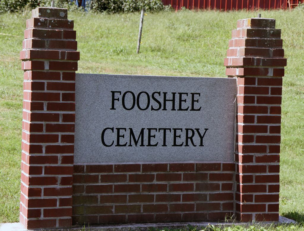
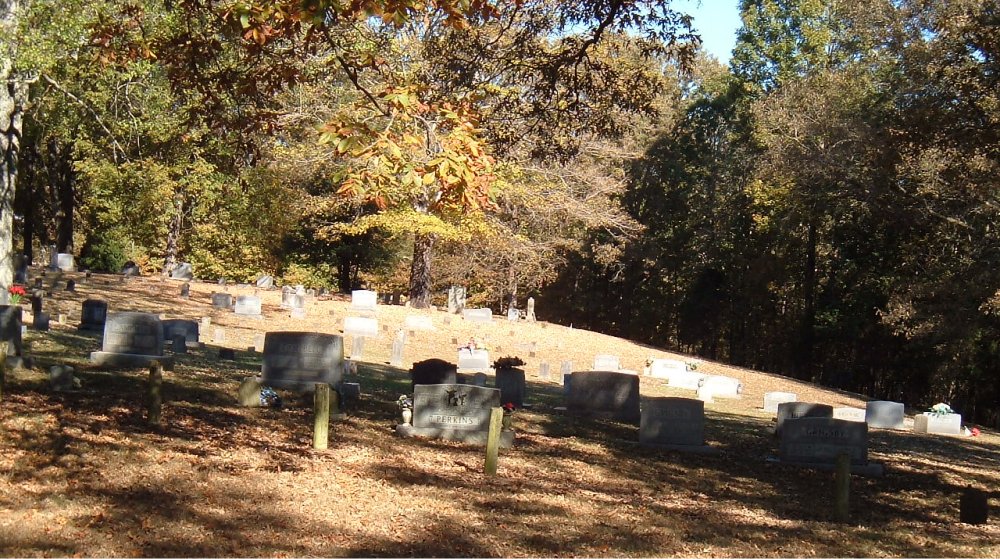
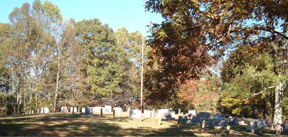
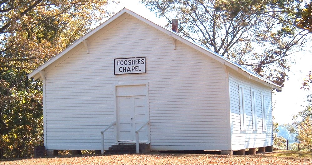
| Location | : | Fochee, Loudon County, USA |
| Coordinate | : | 35.7005800, -84.4892000 |
| Description | : | From the point of Highway 72 (Loudon Highway) and Stockton Valley Road, head south on Stockton Valley Road for 2.2 miles. Turn right and go about .2 miles then turn left to the cemetery. |
frequently asked questions (FAQ):
-
Where is Fooshee Cemetery?
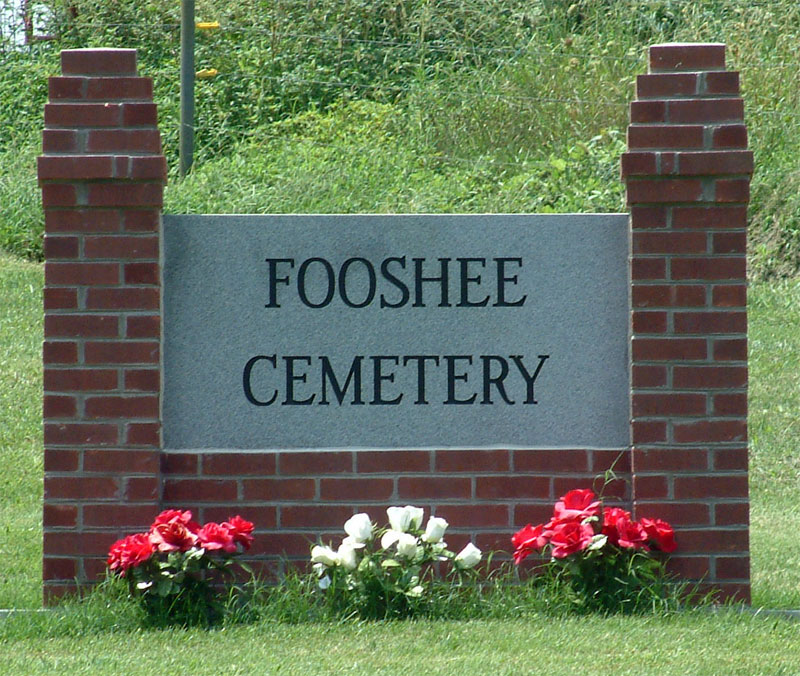
Fooshee Cemetery is located at Fochee, Loudon County ,Tennessee ,USA.
-
Fooshee Cemetery cemetery's updated grave count on graveviews.com?
2 memorials
-
Where are the coordinates of the Fooshee Cemetery?
Latitude: 35.7005800
Longitude: -84.4892000
Nearby Cemetories:
1. Johnson Cemetery
Loudon County, USA
Coordinate: 35.7141991, -84.4813995
2. New Hope Methodist Cemetery
Loudon County, USA
Coordinate: 35.6734000, -84.4807600
3. Lay Cemetery
Philadelphia, Loudon County, USA
Coordinate: 35.6838989, -84.4539032
4. Marney Cemetery (Defunct)
Loudon County, USA
Coordinate: 35.7296982, -84.4674988
5. Carter Cemetery
Loudon County, USA
Coordinate: 35.6761017, -84.4563980
6. Harris Cemetery
Loudon County, USA
Coordinate: 35.6697006, -84.4655991
7. Jones Cemetery
Monroe County, USA
Coordinate: 35.6581001, -84.4863968
8. Cedar Valley Cemetery
Monroe County, USA
Coordinate: 35.6572970, -84.4688180
9. Pleasant Hill United Methodist Church Cemetery
Philadelphia, Loudon County, USA
Coordinate: 35.7072167, -84.5544444
10. Cedar Fork Baptist Church Cemetery
Cedar Fork, Roane County, USA
Coordinate: 35.6670000, -84.5419000
11. Galyon Cemetery
Roane County, USA
Coordinate: 35.7346992, -84.5425034
12. Prospect Baptist Church Cemetery
Loudon County, USA
Coordinate: 35.7282333, -84.4230499
13. Isaac Coffey Grave
Loudon County, USA
Coordinate: 35.7498800, -84.4459300
14. Fenders Methodist Church Cemetery
Luttrell, Loudon County, USA
Coordinate: 35.6493500, -84.5314200
15. Wilson Cemetery
Loudon County, USA
Coordinate: 35.7430992, -84.4253006
16. Philadelphia City Cemetery
Loudon County, USA
Coordinate: 35.6802670, -84.4074670
17. Johnson Chapel Cemetery
Blue Springs, Roane County, USA
Coordinate: 35.6742400, -84.5691500
18. Old Sweetwater Cemetery
Monroe County, USA
Coordinate: 35.6464005, -84.4291992
19. Richardson Cemetery
Loudon County, USA
Coordinate: 35.6256600, -84.5085700
20. Mount Cumberland Cemetery
McMinn County, USA
Coordinate: 35.6356010, -84.5397034
21. Northpoint Cemetery
Monroe County, USA
Coordinate: 35.6250000, -84.4697037
22. Byrd Cemetery
Roane County, USA
Coordinate: 35.7778015, -84.4692001
23. Hall Cemetery
Roane County, USA
Coordinate: 35.7228012, -84.5824966
24. Rose Cemetery
Laurel Bluff, Roane County, USA
Coordinate: 35.7694016, -84.5397034