
| Memorials | : | 1 |
| Location | : | Luttrell, Loudon County, USA |
| Coordinate | : | 35.6493500, -84.5314200 |
frequently asked questions (FAQ):
-
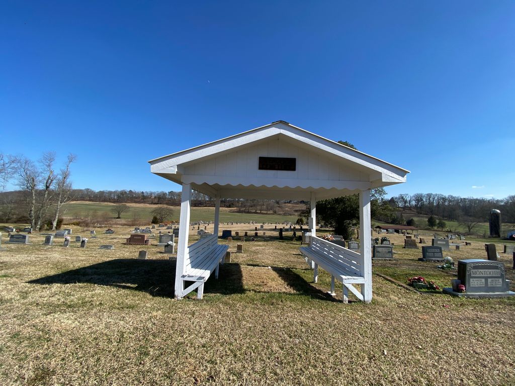
Where is Fenders Methodist Church Cemetery?
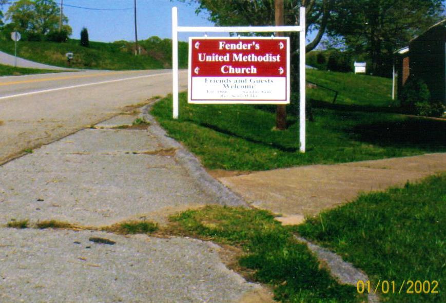
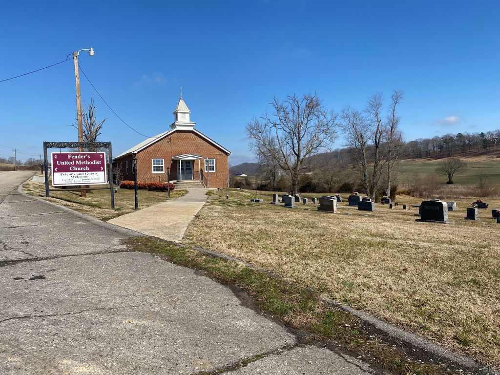
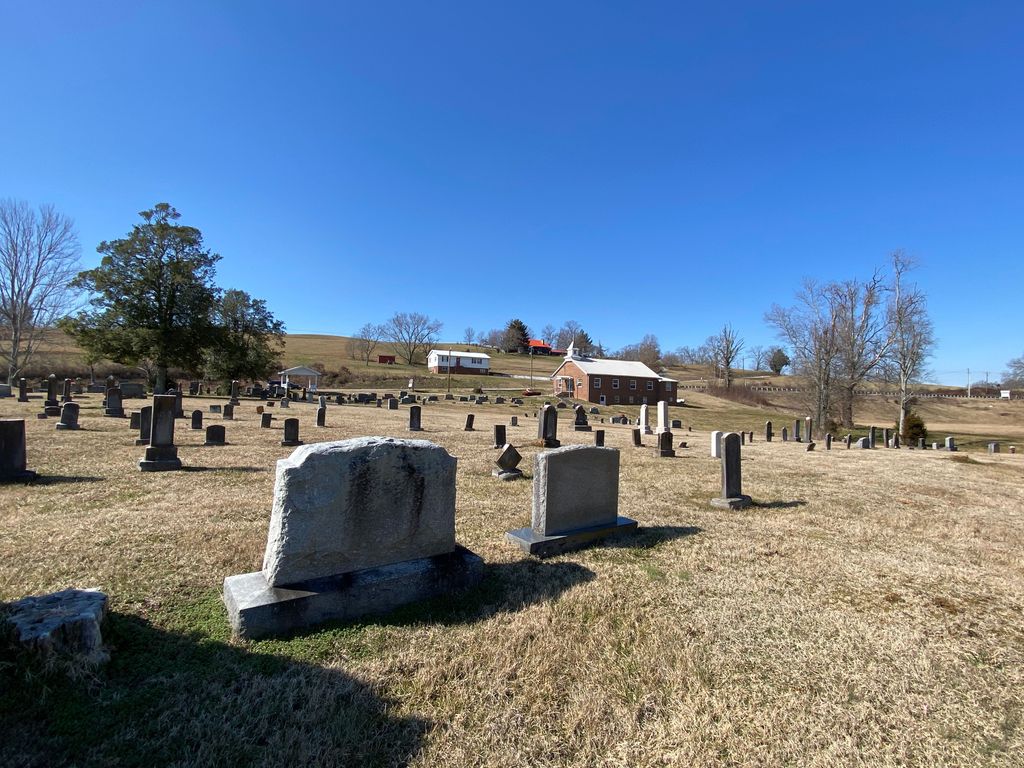
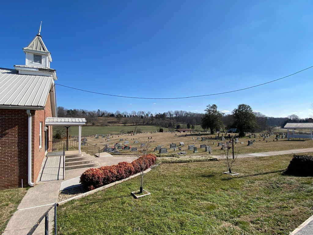
Fenders Methodist Church Cemetery is located at 2425 Oakland Rd Luttrell, Loudon County ,Tennessee , 37874USA.
-
Fenders Methodist Church Cemetery cemetery's updated grave count on graveviews.com?
0 memorials
-
Where are the coordinates of the Fenders Methodist Church Cemetery?
Latitude: 35.6493500
Longitude: -84.5314200
Nearby Cemetories:
1. Mount Cumberland Cemetery
McMinn County, USA
Coordinate: 35.6356010, -84.5397034
2. Cedar Fork Baptist Church Cemetery
Cedar Fork, Roane County, USA
Coordinate: 35.6670000, -84.5419000
3. Shelton Grove Baptist Church Cemetery
Loudon County, USA
Coordinate: 35.6395010, -84.5578010
4. Richardson Cemetery
Loudon County, USA
Coordinate: 35.6256600, -84.5085700
5. Murrays Chapel Cemetery
Loudon County, USA
Coordinate: 35.6221419, -84.5138108
6. Jones Cemetery
Monroe County, USA
Coordinate: 35.6581001, -84.4863968
7. Blue Springs Cemetery
Roane County, USA
Coordinate: 35.6581001, -84.5785980
8. Johnson Chapel Cemetery
Blue Springs, Roane County, USA
Coordinate: 35.6742400, -84.5691500
9. New Hope Methodist Cemetery
Loudon County, USA
Coordinate: 35.6734000, -84.4807600
10. Cedar Valley Cemetery
Monroe County, USA
Coordinate: 35.6572970, -84.4688180
11. Basket Cemetery
Roane County, USA
Coordinate: 35.6589012, -84.5963974
12. West End Community Cemetery
Sweetwater, Monroe County, USA
Coordinate: 35.6086006, -84.4856033
13. Northpoint Cemetery
Monroe County, USA
Coordinate: 35.6250000, -84.4697037
14. Fisher Cemetery
McMinn County, USA
Coordinate: 35.6314011, -84.5963974
15. Harris Cemetery
Loudon County, USA
Coordinate: 35.6697006, -84.4655991
16. Pleasant Hill United Methodist Church Cemetery
Philadelphia, Loudon County, USA
Coordinate: 35.7072167, -84.5544444
17. Fooshee Cemetery
Fochee, Loudon County, USA
Coordinate: 35.7005800, -84.4892000
18. West View Cemetery
Sweetwater, Monroe County, USA
Coordinate: 35.6025009, -84.4794006
19. Carter Cemetery
Loudon County, USA
Coordinate: 35.6761017, -84.4563980
20. Sweetwater Valley Memorial Park
Sweetwater, Monroe County, USA
Coordinate: 35.6246986, -84.4494019
21. Beulah Chapel Cemetery
McMinn County, USA
Coordinate: 35.6194000, -84.6108017
22. Lay Cemetery
Philadelphia, Loudon County, USA
Coordinate: 35.6838989, -84.4539032
23. Clarks Dry Fork Cemetery
Roane County, USA
Coordinate: 35.6960983, -84.5991974
24. Mount Bethel Baptist Church Cemetery
Sweetwater, Monroe County, USA
Coordinate: 35.6013908, -84.4611130