
| Memorials | : | 0 |
| Location | : | Forchheim, Landkreis Forchheim, Germany |
| Coordinate | : | 49.7233800, 11.0657400 |
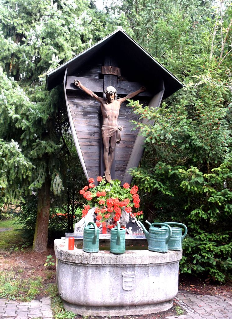
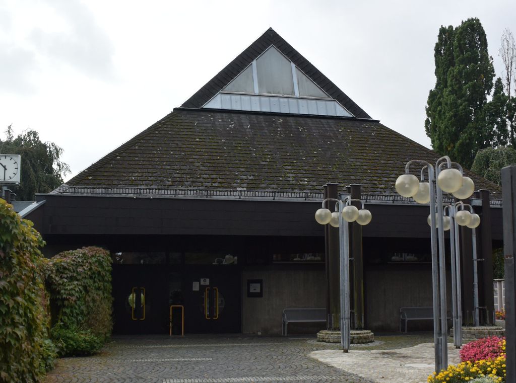
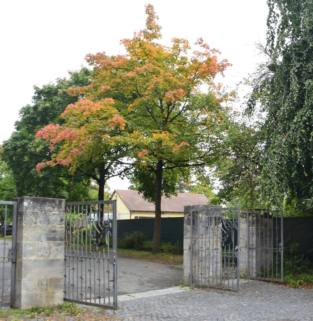
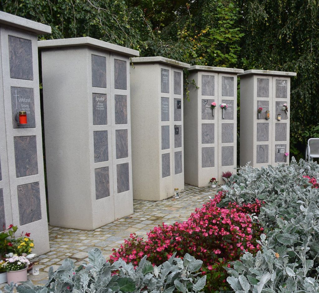
| Description | : | Address: Heimgartenstrasse 91301 Forchheim Germany Also known as "Friedhof Heimgartenstraße", this "New Cemetery" is one of six cemeteries in the Bavarian city of Forchheim: - Friedhof an der Birkenfelderstraße, or Alter Friedhof - Friedhof Buckenhofen - Friedhof Burk - Friedhof Heimgartenstraße, or Neuer Friedhof - Friedhof Kersbach - Friedhof Reuth It opened in 1956, is non-denominational and run by the city of Forchheim. Please note that the final resting places in Germany are not eternal, due to lack of space. This cemetery has a "period of repose" of 15 years. |
frequently asked questions (FAQ):
-
Where is Forchheim - Neuer Friedhof?
Forchheim - Neuer Friedhof is located at Heimgartenstrasse 2 Forchheim, Landkreis Forchheim ,Bavaria (Bayern) , 91301Germany.
-
Forchheim - Neuer Friedhof cemetery's updated grave count on graveviews.com?
0 memorials
-
Where are the coordinates of the Forchheim - Neuer Friedhof?
Latitude: 49.7233800
Longitude: 11.0657400
Nearby Cemetories:
1. Forchheim - Alter Friedhof
Forchheim, Landkreis Forchheim, Germany
Coordinate: 49.7238830, 11.0621380
2. Forchheim - Friedhof Reuth
Forchheim, Landkreis Forchheim, Germany
Coordinate: 49.7224260, 11.1143880
3. Friedhof St. Nikolaus Pinzberg
Pinzberg, Landkreis Forchheim, Germany
Coordinate: 49.6900209, 11.1018736
4. Friedhof Kersbach
Kersbach, Landkreis Forchheim, Germany
Coordinate: 49.6790766, 11.0690829
5. Pfarrkirche St. Martin Friedhof Eggolsheim
Eggolsheim, Landkreis Forchheim, Germany
Coordinate: 49.7722188, 11.0580208
6. Friedhof Baiersdorf
Baiersdorf, Landkreis Erlangen-Hochstädt, Germany
Coordinate: 49.6585358, 11.0339612
7. Friedhof Mittelehrenbach
Mittelehrenbach, Landkreis Forchheim, Germany
Coordinate: 49.6938970, 11.1719740
8. Pretzfeld Jüdischer Friedhof
Pretzfeld, Landkreis Forchheim, Germany
Coordinate: 49.7470650, 11.1844830
9. Jüdischen Friedhof Hirschaid-Buttenheim
Buttenheim, Landkreis Bamberg, Germany
Coordinate: 49.8174020, 11.0330390
10. Friedhof Hirschaid
Hirschaid, Landkreis Bamberg, Germany
Coordinate: 49.8120877, 10.9980798
11. Friedhof Erlach
Hirschaid, Landkreis Bamberg, Germany
Coordinate: 49.8098486, 10.9538878
12. Ermreuth Judenfriedhof
Ermreuth, Landkreis Forchheim, Germany
Coordinate: 49.6406320, 11.1918430
13. Friedhof Schlüsselau Oberfranken
Frenshof, Landkreis Bamberg, Germany
Coordinate: 49.7910620, 10.9106740
14. Altstädter Friedhof
Erlangen, Stadtkreis Erlangen, Germany
Coordinate: 49.6022060, 10.9993150
15. Neustädter Friedhof
Erlangen, Stadtkreis Erlangen, Germany
Coordinate: 49.5939050, 10.9999530
16. Friedhof Herrnsdorf
Herrnsdorf, Landkreis Bamberg, Germany
Coordinate: 49.7922350, 10.8830750
17. Friedhof Pettstadt
Stadtkreis Bamberg, Germany
Coordinate: 49.8306500, 10.9344600
18. Ehrenfriedhof
Erlangen, Stadtkreis Erlangen, Germany
Coordinate: 49.5930945, 10.9988815
19. Zentralfriedhof Erlangen
Erlangen, Stadtkreis Erlangen, Germany
Coordinate: 49.5888990, 10.9969920
20. Gräfenberg
Grafenberg, Landkreis Forchheim, Germany
Coordinate: 49.6440436, 11.2505282
21. St. Boniface
Weissenohe, Landkreis Forchheim, Germany
Coordinate: 49.6294440, 11.2533330
22. Friedhof Sambach/Wingersdorf
Sambach, Landkreis Bamberg, Germany
Coordinate: 49.7830200, 10.8460100
23. Erlangen Bruck Friedhof
Erlangen, Stadtkreis Erlangen, Germany
Coordinate: 49.5715490, 10.9891740
24. Bach in Eckental
Forth, Landkreis Erlangen-Hochstädt, Germany
Coordinate: 49.5896017, 11.2027805