
| Memorials | : | 11 |
| Location | : | Antwerp, Paulding County, USA |
| Coordinate | : | 41.2233009, -84.6688995 |
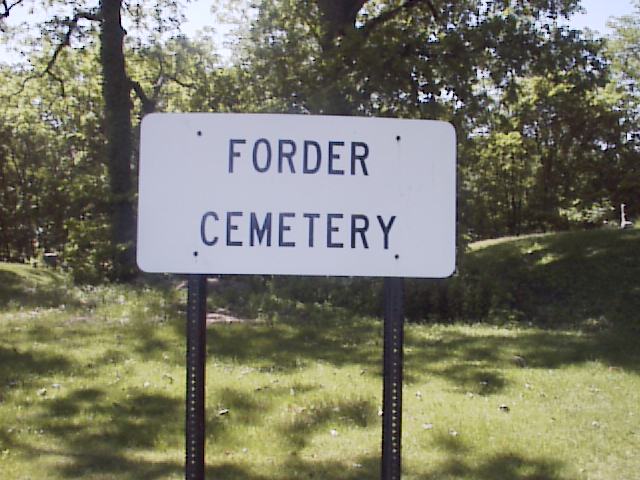
| Description | : | The cemetery is located on the southeast corner of the intersection of Township Road 192 and County Road 73. The cemetery is located in Crane Township, Pauling County, Ohio, and is # 15114 (Forder Cemetery) in “Ohio Cemeteries 1803-2003”, compiled by the Ohio Genealogical Society. The cemetery is registered with the Ohio Division of Real Estate and Professional Licensing (ODRE) as Folder-Bethel Cemetery with registration license number CGR.0000982536. The U.S. Geological Survey (USGS) Geographic Names Information System (GNIS) feature ID for the cemetery is 1961009 (Folder Cemetery). |
frequently asked questions (FAQ):
-
Where is Forder Cemetery?
Forder Cemetery is located at Township Road 192 and County Road 73 Antwerp, Paulding County ,Ohio , 45813USA.
-
Forder Cemetery cemetery's updated grave count on graveviews.com?
11 memorials
-
Where are the coordinates of the Forder Cemetery?
Latitude: 41.2233009
Longitude: -84.6688995
Nearby Cemetories:
1. Bethel Cemetery
Cecil, Paulding County, USA
Coordinate: 41.2238998, -84.6697006
2. Gordon Cemetery
Paulding County, USA
Coordinate: 41.2318993, -84.6433029
3. Banks Cemetery
Paulding County, USA
Coordinate: 41.2028008, -84.7033005
4. Spindler Cemetery
Mark Center, Defiance County, USA
Coordinate: 41.2625008, -84.6697006
5. Slough Cemetery
Antwerp, Paulding County, USA
Coordinate: 41.2038994, -84.7144012
6. Maumee Cemetery
Antwerp, Paulding County, USA
Coordinate: 41.1889000, -84.7244034
7. Rochester Cemetery
Cecil, Paulding County, USA
Coordinate: 41.2313995, -84.5914001
8. Immaculate Conception Cemetery
Crane Township, Paulding County, USA
Coordinate: 41.2325500, -84.5905100
9. Colby Cemetery
Defiance County, USA
Coordinate: 41.2532997, -84.5952988
10. Clark Cemetery
Antwerp, Paulding County, USA
Coordinate: 41.2411003, -84.7514038
11. Riverside Cemetery
Antwerp, Paulding County, USA
Coordinate: 41.1831017, -84.7375031
12. Eaton Cemetery
Paulding County, USA
Coordinate: 41.2402992, -84.5783005
13. Vinegar Farm Plot
Paulding, Paulding County, USA
Coordinate: 41.1675410, -84.6029410
14. Banks Cemetery
Antwerp, Paulding County, USA
Coordinate: 41.1856003, -84.7617035
15. Slough Family Plot
Antwerp, Paulding County, USA
Coordinate: 41.1716440, -84.7746040
16. Paulding Memorial Cemetery
Paulding, Paulding County, USA
Coordinate: 41.1629982, -84.5680008
17. Hicksville Cemetery (Defunct)
Hicksville, Defiance County, USA
Coordinate: 41.2963360, -84.7579760
18. Angrove Cemetery
Paulding, Paulding County, USA
Coordinate: 41.1857210, -84.5456140
19. Ankney Farm Cemetery
Paulding County, USA
Coordinate: 41.1981010, -84.5389023
20. Latty Cemetery
Paulding, Paulding County, USA
Coordinate: 41.1872220, -84.5408330
21. Saint Johns Lutheran Cemetery
Sherwood, Defiance County, USA
Coordinate: 41.3092003, -84.5931015
22. Six Corners Cemetery
Hicksville, Defiance County, USA
Coordinate: 41.3213997, -84.7153015
23. Blair Cemetery
Sherwood, Defiance County, USA
Coordinate: 41.2677994, -84.5436020
24. Cooper Haines Cemetery
Paulding, Paulding County, USA
Coordinate: 41.1227989, -84.6222000