
| Memorials | : | 6 |
| Location | : | Sherwood, Defiance County, USA |
| Coordinate | : | 41.3092003, -84.5931015 |
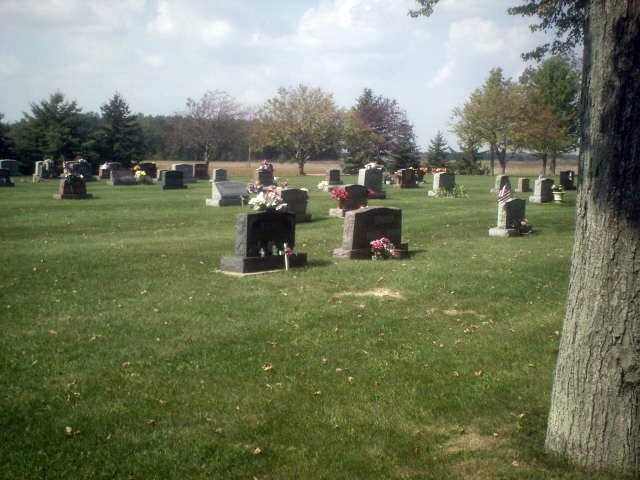
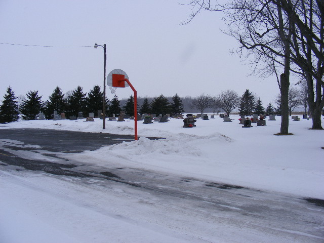
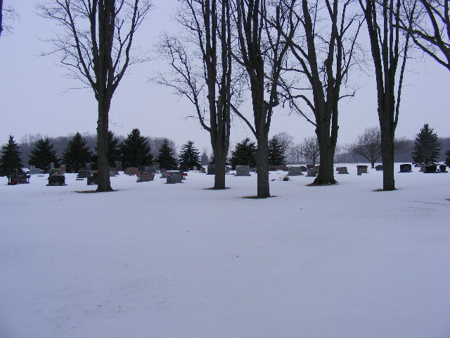
| Description | : | Located in Mark Township on the west side of Openlander Road (TR 124), one mile north of SR 18. |
frequently asked questions (FAQ):
-
Where is Saint Johns Lutheran Cemetery?
Saint Johns Lutheran Cemetery is located at Sherwood, Defiance County ,Ohio ,USA.
-
Saint Johns Lutheran Cemetery cemetery's updated grave count on graveviews.com?
6 memorials
-
Where are the coordinates of the Saint Johns Lutheran Cemetery?
Latitude: 41.3092003
Longitude: -84.5931015
Nearby Cemetories:
1. Sherwood Cemetery
Sherwood, Defiance County, USA
Coordinate: 41.2900009, -84.5507965
2. Blair Cemetery
Sherwood, Defiance County, USA
Coordinate: 41.2677994, -84.5436020
3. Colby Cemetery
Defiance County, USA
Coordinate: 41.2532997, -84.5952988
4. Moats Cemetery
Defiance County, USA
Coordinate: 41.3330420, -84.5194530
5. Glore Cemetery
Sherwood, Defiance County, USA
Coordinate: 41.2639008, -84.5342026
6. Saint Stephens New Catholic Cemetery
The Bend, Defiance County, USA
Coordinate: 41.2820100, -84.5150800
7. Funk Cemetery
Defiance County, USA
Coordinate: 41.3396988, -84.5164032
8. Auglaize Village Cemetery
Defiance, Defiance County, USA
Coordinate: 41.3399760, -84.5165610
9. Liggett Scouts Burial Ground
The Bend, Defiance County, USA
Coordinate: 41.2761100, -84.5154500
10. Eaton Cemetery
Paulding County, USA
Coordinate: 41.2402992, -84.5783005
11. Shirley Family Cemetery
The Bend, Defiance County, USA
Coordinate: 41.2821360, -84.5071690
12. Blue Cemetery
The Bend, Defiance County, USA
Coordinate: 41.2871500, -84.5033200
13. Lost Creek Cemetery
Farmer, Defiance County, USA
Coordinate: 41.3553000, -84.6700000
14. Spindler Cemetery
Mark Center, Defiance County, USA
Coordinate: 41.2625008, -84.6697006
15. Immaculate Conception Cemetery
Crane Township, Paulding County, USA
Coordinate: 41.2325500, -84.5905100
16. Lintz Cemetery
Ney, Defiance County, USA
Coordinate: 41.3760986, -84.5402985
17. Rochester Cemetery
Cecil, Paulding County, USA
Coordinate: 41.2313995, -84.5914001
18. Saint Stephens Old Cemetery
Defiance County, USA
Coordinate: 41.2747002, -84.4955978
19. Gordon Cemetery
Paulding County, USA
Coordinate: 41.2318993, -84.6433029
20. Farmer Cemetery
Farmer, Defiance County, USA
Coordinate: 41.3903008, -84.6410980
21. Kemp Cemetery
Defiance County, USA
Coordinate: 41.3703003, -84.6802979
22. Ney Cemetery
Ney, Defiance County, USA
Coordinate: 41.3856010, -84.5271988
23. Doud Cemetery
Ney, Defiance County, USA
Coordinate: 41.3811680, -84.5161110
24. Six Corners Cemetery
Hicksville, Defiance County, USA
Coordinate: 41.3213997, -84.7153015