
| Memorials | : | 12 |
| Location | : | Greenwood, Johnson County, USA |
| Phone | : | (317) 535-9003 |
| Website | : | forestlawncemetery-fh.com |
| Coordinate | : | 39.5905991, -86.1575012 |
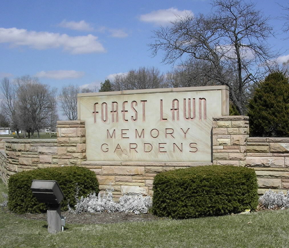
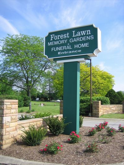
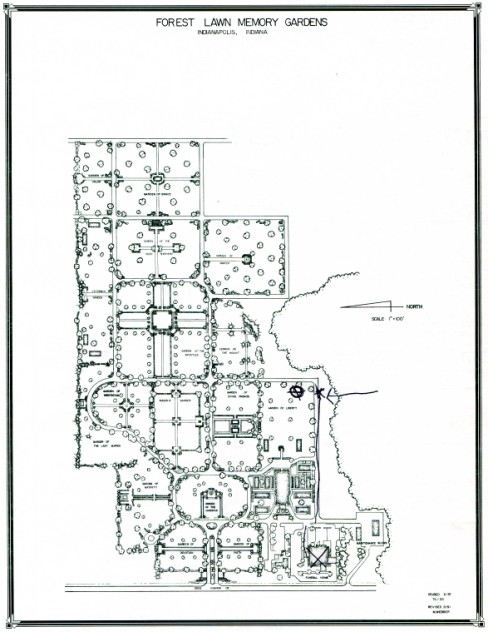
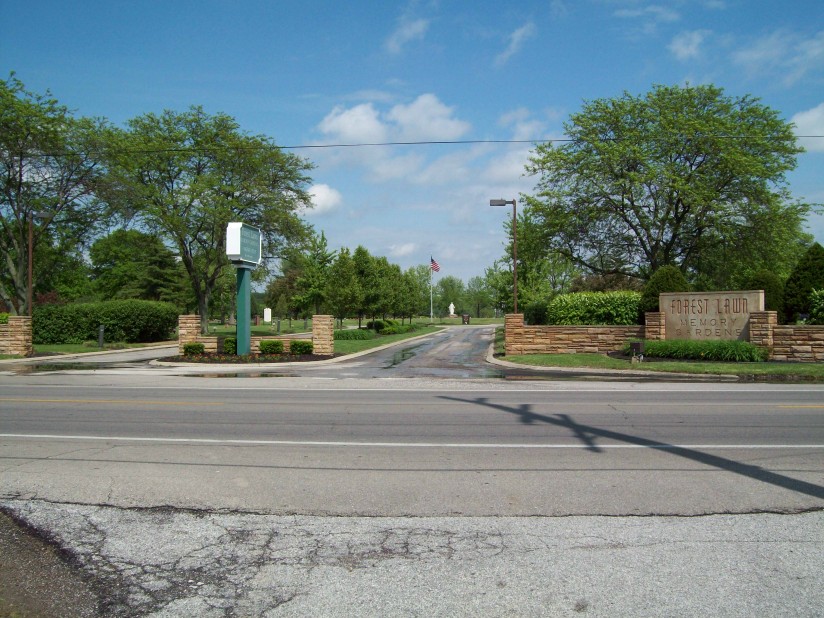
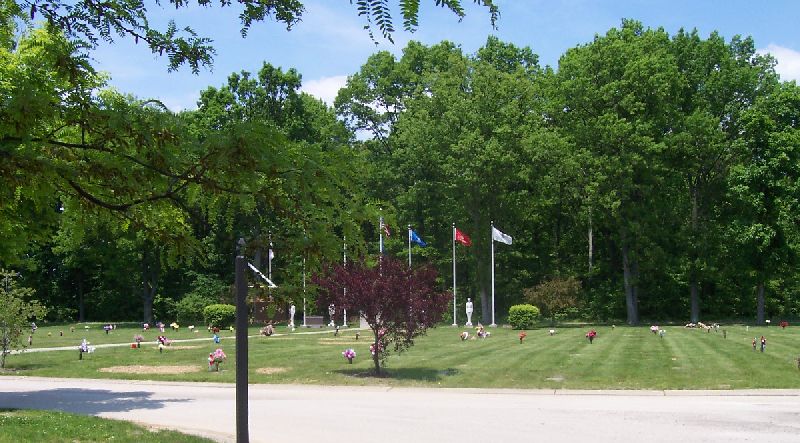
| Description | : | Established in 1957. Indiana Cemetery Locations, Volume 1, published by the Indiana Genealogical Society (02 April 2005), gives the primary cemetery name as Forest Lawn Memory Garden. The cemetery is listed in the Cemetery and Burial Grounds Registry of the Indiana Department of Natural Resources (DNR) and in the State Historical Architectural and Archaeological Research Database (SHAARD) with Cemetery Record Number CR-41-78 (Forest Lawn). |
frequently asked questions (FAQ):
-
Where is Forest Lawn Memory Gardens?
Forest Lawn Memory Gardens is located at 1977 South State Road 135 Greenwood, Johnson County ,Indiana , 46143USA.
-
Forest Lawn Memory Gardens cemetery's updated grave count on graveviews.com?
10 memorials
-
Where are the coordinates of the Forest Lawn Memory Gardens?
Latitude: 39.5905991
Longitude: -86.1575012
Nearby Cemetories:
1. Gardens at Olive Branch Cemetery
Greenwood, Johnson County, USA
Coordinate: 39.5934080, -86.1586270
2. Mount Auburn Cemetery
Stones Crossing, Johnson County, USA
Coordinate: 39.5852870, -86.1592780
3. Honey Creek United Methodist Cemetery
Greenwood, Johnson County, USA
Coordinate: 39.5775299, -86.1401978
4. Rush Cemetery
Stones Crossing, Johnson County, USA
Coordinate: 39.5662079, -86.1617355
5. Messersmith Cemetery
Johnson County, USA
Coordinate: 39.6124330, -86.1771920
6. Orme Cemetery
White River Township, Johnson County, USA
Coordinate: 39.6208460, -86.1701800
7. Robinson Cemetery #1
White River Township, Johnson County, USA
Coordinate: 39.6022650, -86.2055130
8. Lyons Cemetery
Greenwood, Johnson County, USA
Coordinate: 39.6302000, -86.1460000
9. Greenwood Cemetery
Greenwood, Johnson County, USA
Coordinate: 39.6164830, -86.1167620
10. Saints Francis and Clare Church Columbarium
Greenwood, Johnson County, USA
Coordinate: 39.5904640, -86.2151440
11. Noble Cemetery
Johnson County, USA
Coordinate: 39.6204414, -86.1118240
12. Mount Pleasant Cemetery
Greenwood, Johnson County, USA
Coordinate: 39.6282997, -86.1967010
13. Lowe Cemetery
Johnson County, USA
Coordinate: 39.5819560, -86.2200330
14. Salem Cemetery
Bluff Creek, Johnson County, USA
Coordinate: 39.5631500, -86.2155100
15. Miller Cemetery
Johnson County, USA
Coordinate: 39.5494003, -86.2102966
16. Pleasant Grove Cemetery
New Whiteland, Johnson County, USA
Coordinate: 39.5419006, -86.1149979
17. Bluff Creek Cemetery
Greenwood, Johnson County, USA
Coordinate: 39.5592842, -86.2231674
18. Foglesong Cemetery
Waterloo, Johnson County, USA
Coordinate: 39.5359070, -86.1882830
19. Brewer Cemetery
Whiteland, Johnson County, USA
Coordinate: 39.5463920, -86.0924590
20. Bargersville Cemetery
Johnson County, USA
Coordinate: 39.5191994, -86.1539001
21. Boles Cemetery
Bargersville, Johnson County, USA
Coordinate: 39.5186005, -86.1530991
22. Mallow Cemetery
Johnson County, USA
Coordinate: 39.5471992, -86.2347031
23. Featherston Cemetery
Southport, Marion County, USA
Coordinate: 39.6576390, -86.1086660
24. Fowler-Mundy Cemetery
Marion County, USA
Coordinate: 39.6603900, -86.2058700