
| Memorials | : | 0 |
| Location | : | Greenwood, Johnson County, USA |
| Coordinate | : | 39.5775299, -86.1401978 |
frequently asked questions (FAQ):
-
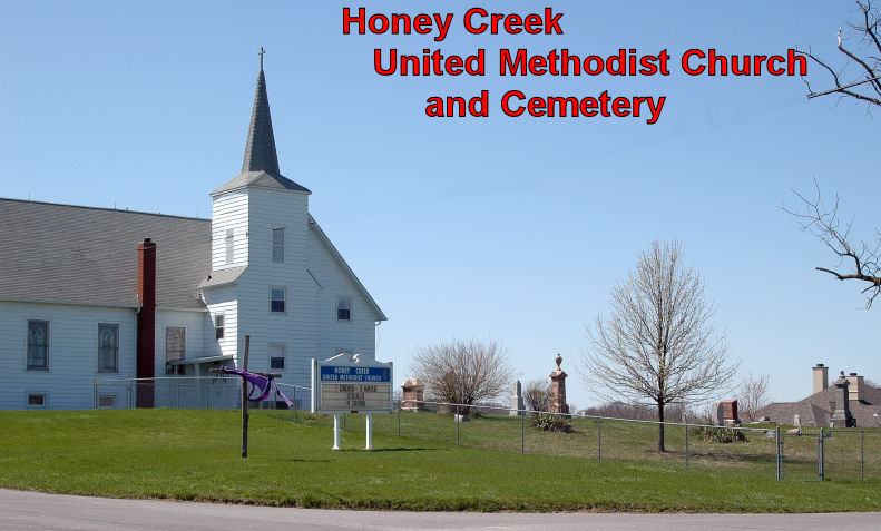
Where is Honey Creek United Methodist Cemetery?
Honey Creek United Methodist Cemetery is located at Greenwood, Johnson County ,Indiana ,USA.
-
Honey Creek United Methodist Cemetery cemetery's updated grave count on graveviews.com?
0 memorials
-
Where are the coordinates of the Honey Creek United Methodist Cemetery?
Latitude: 39.5775299
Longitude: -86.1401978
Nearby Cemetories:
1. Mount Auburn Cemetery
Stones Crossing, Johnson County, USA
Coordinate: 39.5852870, -86.1592780
2. Forest Lawn Memory Gardens
Greenwood, Johnson County, USA
Coordinate: 39.5905991, -86.1575012
3. Rush Cemetery
Stones Crossing, Johnson County, USA
Coordinate: 39.5662079, -86.1617355
4. Gardens at Olive Branch Cemetery
Greenwood, Johnson County, USA
Coordinate: 39.5934080, -86.1586270
5. Pleasant Grove Cemetery
New Whiteland, Johnson County, USA
Coordinate: 39.5419006, -86.1149979
6. Greenwood Cemetery
Greenwood, Johnson County, USA
Coordinate: 39.6164830, -86.1167620
7. Messersmith Cemetery
Johnson County, USA
Coordinate: 39.6124330, -86.1771920
8. Noble Cemetery
Johnson County, USA
Coordinate: 39.6204414, -86.1118240
9. Brewer Cemetery
Whiteland, Johnson County, USA
Coordinate: 39.5463920, -86.0924590
10. Orme Cemetery
White River Township, Johnson County, USA
Coordinate: 39.6208460, -86.1701800
11. Lyons Cemetery
Greenwood, Johnson County, USA
Coordinate: 39.6302000, -86.1460000
12. Foglesong Cemetery
Waterloo, Johnson County, USA
Coordinate: 39.5359070, -86.1882830
13. Robinson Cemetery #1
White River Township, Johnson County, USA
Coordinate: 39.6022650, -86.2055130
14. Saints Francis and Clare Church Columbarium
Greenwood, Johnson County, USA
Coordinate: 39.5904640, -86.2151440
15. Bargersville Cemetery
Johnson County, USA
Coordinate: 39.5191994, -86.1539001
16. Boles Cemetery
Bargersville, Johnson County, USA
Coordinate: 39.5186005, -86.1530991
17. Salem Cemetery
Bluff Creek, Johnson County, USA
Coordinate: 39.5631500, -86.2155100
18. Miller Cemetery
Johnson County, USA
Coordinate: 39.5494003, -86.2102966
19. Murphy Cemetery
Whiteland, Johnson County, USA
Coordinate: 39.5428030, -86.0746680
20. Lowe Cemetery
Johnson County, USA
Coordinate: 39.5819560, -86.2200330
21. Saint Thomas Episcopal Church Memorial Garden
Franklin, Johnson County, USA
Coordinate: 39.5359340, -86.0766060
22. Bluff Creek Cemetery
Greenwood, Johnson County, USA
Coordinate: 39.5592842, -86.2231674
23. Mount Pleasant Cemetery
Greenwood, Johnson County, USA
Coordinate: 39.6282997, -86.1967010
24. Gilmore Cemetery
Johnson County, USA
Coordinate: 39.5106010, -86.1477966