
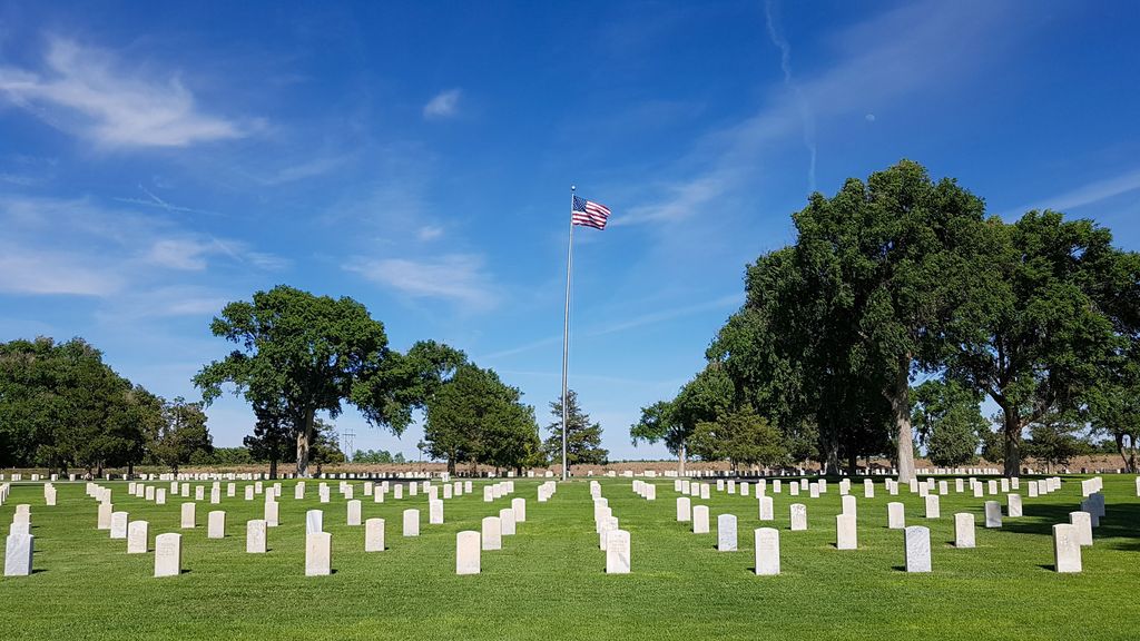
| Memorials | : | 2892 |
| Location | : | Fort Lyon, Bent County, USA |
| Phone | : | 303-761-0117 |
| Coordinate | : | 38.0847015, -103.1288986 |
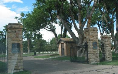
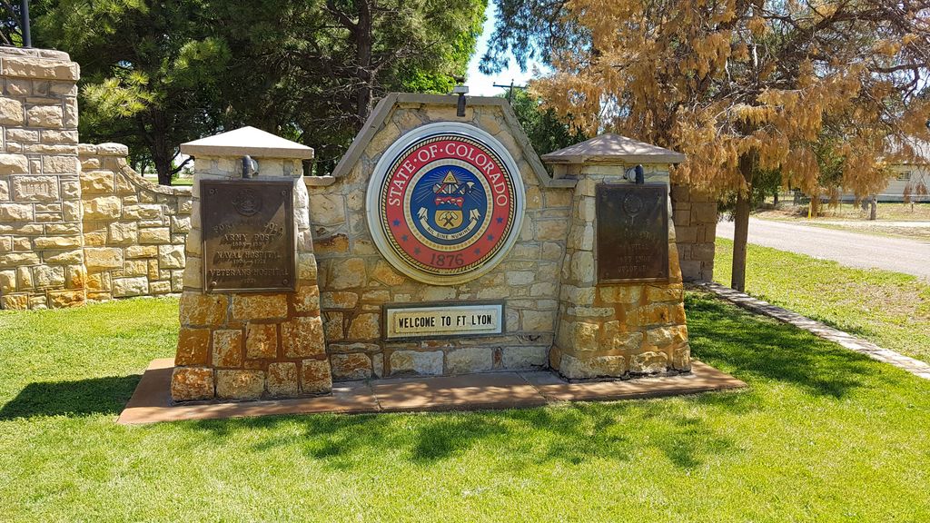
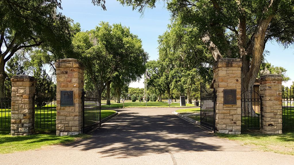
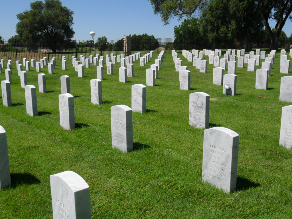
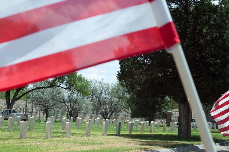
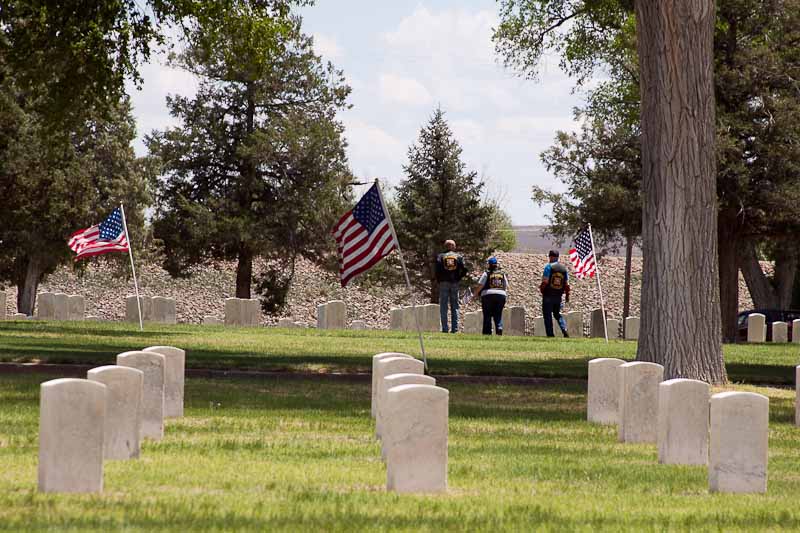
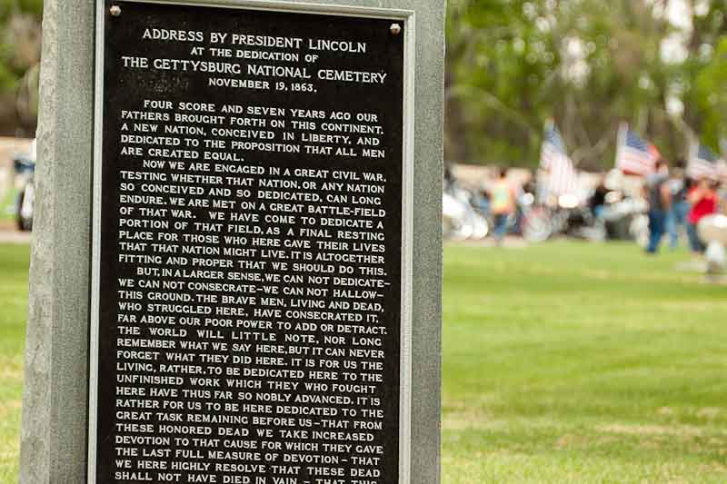
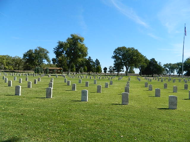
| Description | : | Office Hours: Monday thru Friday 8:00 a.m. to 4:30 p.m. Closed federal holidays. Visitation Hours: Open daily from sunrise to sunset. Fort Lyon is located in Bent County, Colo., seven miles east of Las Animas. The fort was originally named Fort Wise in honor of Henry A. Wise, governor of Virginia. However, with the outbreak of the Civil War, it seemed inappropriate to have a Union fort named after the governor of a Southern state, and the name was changed. The new name Fort Lyon was chosen to honor Brevet Brigadier General Nathaniel Lyon, who was killed at the Battle of Wilson Creek... Read More |
frequently asked questions (FAQ):
-
Where is Fort Lyon National Cemetery?
Fort Lyon National Cemetery is located at 15700 County Road HH Fort Lyon, Bent County ,Colorado , 81054USA.
-
Fort Lyon National Cemetery cemetery's updated grave count on graveviews.com?
2890 memorials
-
Where are the coordinates of the Fort Lyon National Cemetery?
Latitude: 38.0847015
Longitude: -103.1288986
Nearby Cemetories:
1. Fort Lyon Post Cemetery
Bent County, USA
Coordinate: 38.0427000, -103.0757000
2. Boggsville National Historic Site Grounds
Boggsville, Bent County, USA
Coordinate: 38.0425130, -103.2102730
3. Las Animas Cemetery
Las Animas, Bent County, USA
Coordinate: 38.0424995, -103.2174988
4. Union Valley Cemetery
Hasty, Bent County, USA
Coordinate: 38.0960999, -102.9574966
5. Indian Rock Cemetery
Bent County, USA
Coordinate: 37.9550018, -102.9630966
6. Home Cemetery
McClave, Bent County, USA
Coordinate: 38.1218987, -102.8497009
7. Bents Old Fort Cemetery
La Junta, Otero County, USA
Coordinate: 38.0416000, -103.4297000
8. Saint Paul’s Lutheran Cemetery
Otero County, USA
Coordinate: 38.0342000, -103.4542000
9. East Holbrook Mennonite Cemetery
Cheraw, Otero County, USA
Coordinate: 38.1101837, -103.4729767
10. Little Kansas Cemetery
Bent County, USA
Coordinate: 37.9399986, -102.8274994
11. Arlington Cemetery
Arlington, Kiowa County, USA
Coordinate: 38.3232994, -103.3597031
12. Hight Cemetery
Bent County, USA
Coordinate: 38.0264015, -102.7508011
13. Wiley Cemetery
Bent County, USA
Coordinate: 38.1688995, -102.7422028
14. Bethel Cemetery
Bent County, USA
Coordinate: 37.7888985, -102.9664001
15. Holbrook Cemetery
Otero County, USA
Coordinate: 38.0842018, -103.5432968
16. Saint Andrews Episcopal Church Columbarium
La Junta, Otero County, USA
Coordinate: 37.9809000, -103.5455000
17. Fairview Cemetery
La Junta, Otero County, USA
Coordinate: 37.9873000, -103.5607000
18. Calvary Cemetery
La Junta, Otero County, USA
Coordinate: 37.9832000, -103.5622000
19. Haswell Cemetery
Haswell, Kiowa County, USA
Coordinate: 38.4472000, -103.1726000
20. Ormega Cemetery
La Junta, Otero County, USA
Coordinate: 37.9684000, -103.5770000
21. Crawford Cemetery
Prowers County, USA
Coordinate: 38.1239014, -102.6585999
22. Pruett Cemetery
Bent County, USA
Coordinate: 37.7172012, -103.2897034
23. Riverside Cemetery
Lamar, Prowers County, USA
Coordinate: 38.0932999, -102.6072006
24. Mount Olive Cemetery
Lamar, Prowers County, USA
Coordinate: 38.0508003, -102.6089020