
| Memorials | : | 24 |
| Location | : | Fortrose, Southland District, New Zealand |
| Coordinate | : | -46.5694400, 168.8088500 |
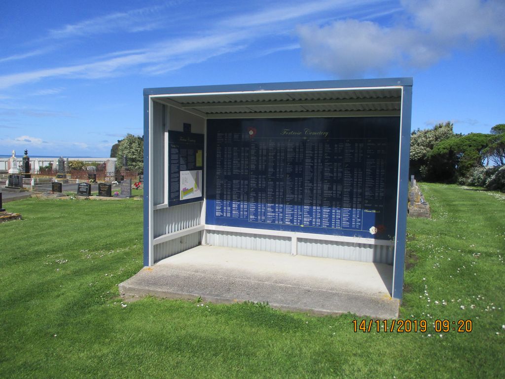
| Description | : | 46km from Invercargill on the Southern Scenic Route. The earliest European cemetery in the area with the first burial recorded in 1873. Fortrose was first established as a whaling station in 1834 and one of the early whalers and first white settler, James Wybrow, was buried here in 1878. Also located here is a memorial and some of the graves of the 131 passengers who lost their lives in the SS Tararua shipwreck in 1881 at Waipapa point - NZ's worst civilian maritime disaster. Other passengers graves are located at Tararua Acre Cemetery about 300m of the road to... Read More |
frequently asked questions (FAQ):
-
Where is Fortrose Cemetery?
Fortrose Cemetery is located at 1668 Tokanui Gorge Road Highway Fortrose, Southland District ,Southland ,New Zealand.
-
Fortrose Cemetery cemetery's updated grave count on graveviews.com?
19 memorials
-
Where are the coordinates of the Fortrose Cemetery?
Latitude: -46.5694400
Longitude: 168.8088500


Nearby Cemetories:
1. Tararua Acre
Otara, Southland District, New Zealand
Coordinate: -46.6551940, 168.8762500
2. Quarry Hills Cemetery
Quarry Hills, Southland District, New Zealand
Coordinate: -46.5433100, 169.0398300
3. Mokoreta Cemetery
Southland District, New Zealand
Coordinate: -46.4332000, 169.0649650
4. Waikawa Cemetery
Waikawa, Southland District, New Zealand
Coordinate: -46.6093780, 169.1289750
5. Wyndham Cemetery
Wyndham, Southland District, New Zealand
Coordinate: -46.3147020, 168.8823690
6. Edendale Cemetery
Edendale, Southland District, New Zealand
Coordinate: -46.3080400, 168.7327360
7. Woodlands Cemetery
Woodlands, Southland District, New Zealand
Coordinate: -46.3568800, 168.5463770
8. Ruapuke Island Cemetery
Southland District, New Zealand
Coordinate: -46.7881040, 168.5048690
9. Captain Stirling Grave
Bluff, Invercargill City, New Zealand
Coordinate: -46.6016466, 168.3691108
10. Te Hau Mutunga Urupā
Invercargill, Invercargill City, New Zealand
Coordinate: -46.4288704, 168.4148361
11. Southland Crematorium
Invercargill, Invercargill City, New Zealand
Coordinate: -46.4109100, 168.3961330
12. Eastern Cemetery
Invercargill, Invercargill City, New Zealand
Coordinate: -46.4070770, 168.3961480
13. Bluff Cemetery
Bluff, Invercargill City, New Zealand
Coordinate: -46.6017310, 168.3248670
14. Green Point Cemetery
Bluff, Invercargill City, New Zealand
Coordinate: -46.5739350, 168.3006450
15. Holy Trinity Anglican Church
Invercargill, Invercargill City, New Zealand
Coordinate: -46.3984736, 168.3660057
16. All Saints Anglican Church
Invercargill, Invercargill City, New Zealand
Coordinate: -46.3906042, 168.3476728
17. Chaslands Cemetery
Chaslands, Clutha District, New Zealand
Coordinate: -46.5912638, 169.3424280
18. Mataura Cemetery
Mataura, Gore District, New Zealand
Coordinate: -46.2016960, 168.8808060
19. Saint Johns Cemetery
Invercargill, Invercargill City, New Zealand
Coordinate: -46.3748600, 168.3431480
20. Otaraia Cemetery
Gore District, New Zealand
Coordinate: -46.1978780, 169.0815990
21. Wallacetown New Cemetery
Wallacetown, Southland District, New Zealand
Coordinate: -46.3374900, 168.2835700
22. Wallacetown Old Cemetery
Wallacetown, Southland District, New Zealand
Coordinate: -46.3321840, 168.2861670
23. Papatowai Cemetery
Papatowai, Clutha District, New Zealand
Coordinate: -46.5407600, 169.4367300
24. Ryal Bush
Ryal Bush, Southland District, New Zealand
Coordinate: -46.2836700, 168.3256000