
| Memorials | : | 0 |
| Location | : | Goliad County, USA |
| Coordinate | : | 28.8449993, -97.2906036 |
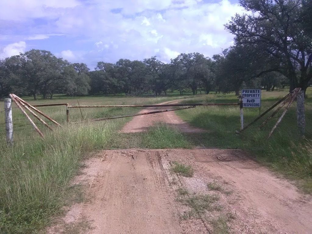
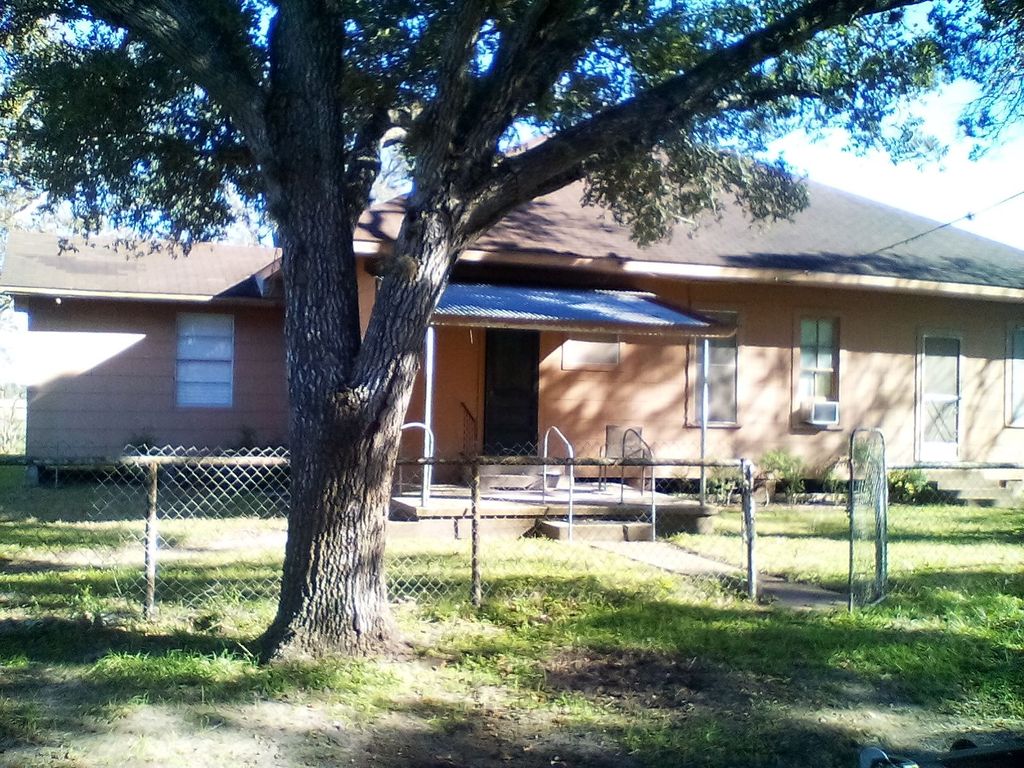
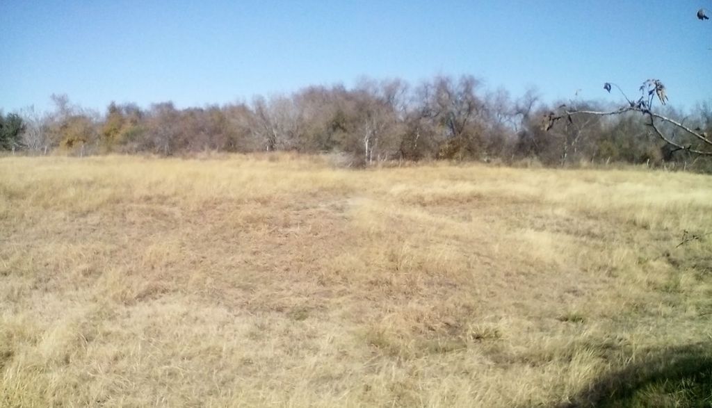
| Description | : | This cemetery is located on private property owned by the descendants of Homer Albrecht. A house sits on the property that acts as a weekend home. The cemetery is at least 450 yards from the house and its perimeters are about an acre. The cemetery sits near the Coleto Creek and the area is known for rattlesnakes and flooding. According to the property owners, the main road to Schroeder, TX once flowed near the house, leading up to the cemetery. |
frequently asked questions (FAQ):
-
Where is Franklin Cemetery?
Franklin Cemetery is located at Goliad County ,Texas ,USA.
-
Franklin Cemetery cemetery's updated grave count on graveviews.com?
0 memorials
-
Where are the coordinates of the Franklin Cemetery?
Latitude: 28.8449993
Longitude: -97.2906036
Nearby Cemetories:
1. Stehling Cemetery
Goliad, Goliad County, USA
Coordinate: 28.8395200, -97.3289900
2. Saint Peters Lutheran Church Cemetery
Ander, Goliad County, USA
Coordinate: 28.8582030, -97.3452800
3. San Jose Cemetery
Goliad County, USA
Coordinate: 28.8474998, -97.3516998
4. Saint Luke's Evangelical Lutheran Church Cemetery
Goliad County, USA
Coordinate: 28.8107830, -97.2359670
5. Mistletoe Cemetery
Goliad County, USA
Coordinate: 28.8307991, -97.2241974
6. Singer Cemetery
Schroeder, Goliad County, USA
Coordinate: 28.8146000, -97.2190000
7. Kilgore Cemetery
Goliad County, USA
Coordinate: 28.7693050, -97.2981100
8. Danforth Cemetery
Goliad County, USA
Coordinate: 28.7800007, -97.3367004
9. Saints Peter and Paul Catholic Cemetery
Meyersville, DeWitt County, USA
Coordinate: 28.9175430, -97.3275330
10. Berger Cemetery
Goliad County, USA
Coordinate: 28.8185997, -97.2042007
11. Saint John Evangelical Lutheran Cemetery
Meyersville, DeWitt County, USA
Coordinate: 28.9300830, -97.3217650
12. Killebrew Cemetery
Goliad County, USA
Coordinate: 28.7563992, -97.3103027
13. Salyer Cemetery
Goliad, Goliad County, USA
Coordinate: 28.7370660, -97.3096990
14. Saint Josephs Cemetery
Meyersville, DeWitt County, USA
Coordinate: 28.9339510, -97.3673630
15. Captain York Cemetery
DeWitt County, USA
Coordinate: 28.9414005, -97.3833008
16. Live Oak Cemetery
Fannin, Goliad County, USA
Coordinate: 28.7216790, -97.2568990
17. Weesatche Cemetery
Weesatche, Goliad County, USA
Coordinate: 28.8470140, -97.4421220
18. Barnes Cemetery
Goliad County, USA
Coordinate: 28.8344002, -97.4417038
19. Saint Andrew's Lutheran Church Cemetery
Weesatche, Goliad County, USA
Coordinate: 28.8402820, -97.4438070
20. Woodlawn Cemetery
Goliad County, USA
Coordinate: 28.8483009, -97.4443970
21. Murphree Family Cemetery
Thomaston, DeWitt County, USA
Coordinate: 28.9630830, -97.1797370
22. Hopkinsville Community Cemetery
Cuero, DeWitt County, USA
Coordinate: 29.0017210, -97.2880980
23. Zion Lutheran Cemetery
Arneckeville, DeWitt County, USA
Coordinate: 29.0013900, -97.2763700
24. Noble Cemetery
Goliad County, USA
Coordinate: 28.7000008, -97.2127991