
| Memorials | : | 0 |
| Location | : | Schroeder, Goliad County, USA |
| Coordinate | : | 28.8146000, -97.2190000 |
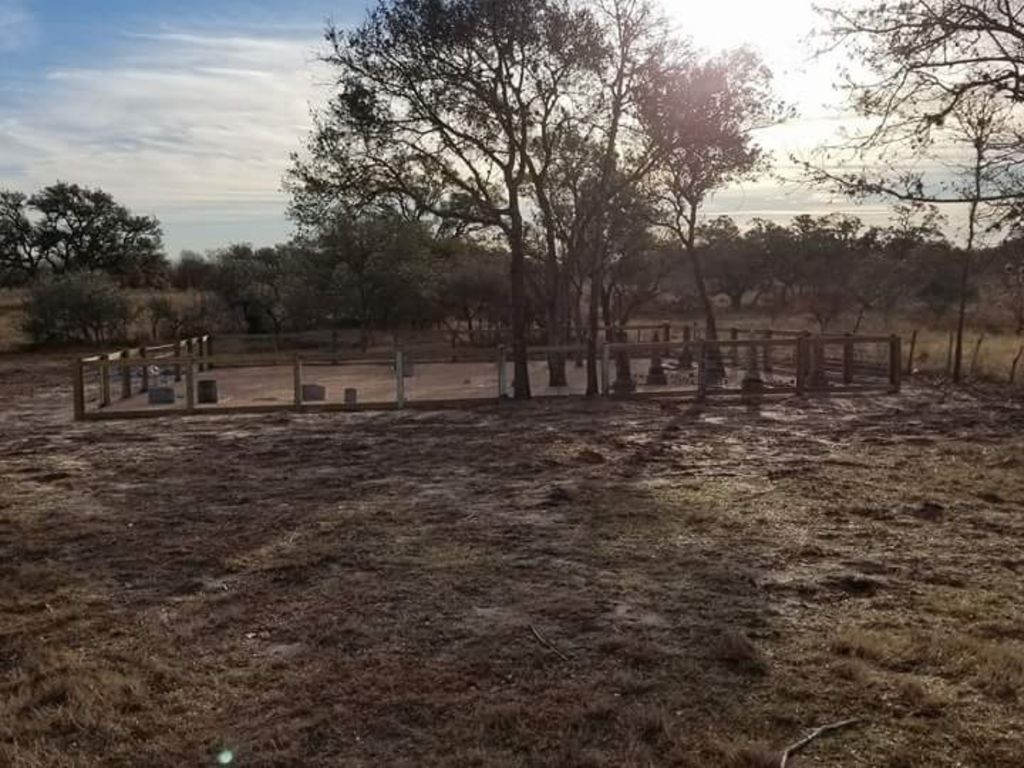
| Description | : | This is a small unkept cemetery located on private property across the street from Schroeder Hall. The 19 individuals buried here are mistakenly listed in the Saint Luke's Evangelical Lutheran Church Cemetery 1 mile down the road. The description listed for Saint Luke's Evangelical Lutheran Church Cemetery is incorrect. It is actually the description for Singer cemetery and was unfortunately, merged into Saint Luke's Evangelical Lutheran Church Cemetery on Find a Grave, due to inaccurate information being given to Find a Grave Admins. 12/26/17 - drove by and saw individuals actively cleaning up this cemetery. This cemetery was originally surveyed and documented by... Read More |
frequently asked questions (FAQ):
-
Where is Singer Cemetery?
Singer Cemetery is located at 12515 FM622 Schroeder, Goliad County ,Texas , 77963USA.
-
Singer Cemetery cemetery's updated grave count on graveviews.com?
0 memorials
-
Where are the coordinates of the Singer Cemetery?
Latitude: 28.8146000
Longitude: -97.2190000
Nearby Cemetories:
1. Berger Cemetery
Goliad County, USA
Coordinate: 28.8185997, -97.2042007
2. Saint Luke's Evangelical Lutheran Church Cemetery
Goliad County, USA
Coordinate: 28.8107830, -97.2359670
3. Mistletoe Cemetery
Goliad County, USA
Coordinate: 28.8307991, -97.2241974
4. Franklin Cemetery
Goliad County, USA
Coordinate: 28.8449993, -97.2906036
5. Kilgore Cemetery
Goliad County, USA
Coordinate: 28.7693050, -97.2981100
6. Live Oak Cemetery
Fannin, Goliad County, USA
Coordinate: 28.7216790, -97.2568990
7. Killebrew Cemetery
Goliad County, USA
Coordinate: 28.7563992, -97.3103027
8. Stehling Cemetery
Goliad, Goliad County, USA
Coordinate: 28.8395200, -97.3289900
9. Cologne Cemetery
Cologne, Goliad County, USA
Coordinate: 28.7125530, -97.1843310
10. Danforth Cemetery
Goliad County, USA
Coordinate: 28.7800007, -97.3367004
11. Salyer Cemetery
Goliad, Goliad County, USA
Coordinate: 28.7370660, -97.3096990
12. Noble Cemetery
Goliad County, USA
Coordinate: 28.7000008, -97.2127991
13. Saint Peters Lutheran Church Cemetery
Ander, Goliad County, USA
Coordinate: 28.8582030, -97.3452800
14. San Jose Cemetery
Goliad County, USA
Coordinate: 28.8474998, -97.3516998
15. Saints Peter and Paul Catholic Cemetery
Meyersville, DeWitt County, USA
Coordinate: 28.9175430, -97.3275330
16. Saint John Evangelical Lutheran Cemetery
Meyersville, DeWitt County, USA
Coordinate: 28.9300830, -97.3217650
17. Murphree Family Cemetery
Thomaston, DeWitt County, USA
Coordinate: 28.9630830, -97.1797370
18. Saint Josephs Cemetery
Meyersville, DeWitt County, USA
Coordinate: 28.9339510, -97.3673630
19. Sapenter Cemetery
Goliad County, USA
Coordinate: 28.6868992, -97.3582993
20. San Antonio Cemetery
Goliad County, USA
Coordinate: 28.6361008, -97.2474976
21. Rangnow Haven of Rest
Arneckeville, DeWitt County, USA
Coordinate: 29.0014600, -97.2485700
22. Captain York Cemetery
DeWitt County, USA
Coordinate: 28.9414005, -97.3833008
23. Zion Lutheran Cemetery
Arneckeville, DeWitt County, USA
Coordinate: 29.0013900, -97.2763700
24. Thomaston Community Cemetery
Thomaston, DeWitt County, USA
Coordinate: 28.9995200, -97.1522800