
| Memorials | : | 1 |
| Location | : | Douglas County, USA |
| Coordinate | : | 38.9437523, -95.1869431 |
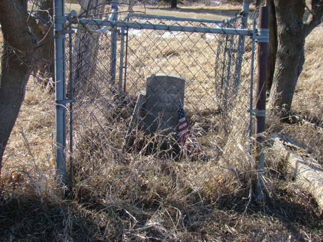
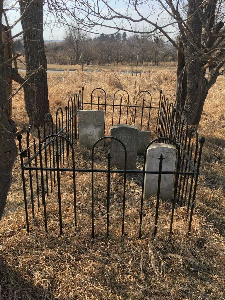
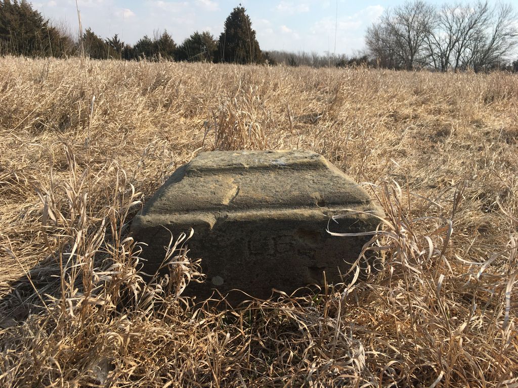
| Description | : | This cemetery was established at the town of Franklin, located four miles southeast of Lawrence, and served the non-Catholic population there. Franklin was founded in October, 1853 and quickly gained a reputation as a pro-slavery stronghold and Indian trading post along the stagecoach route from Westport (now Kansas City), Missouri. Nearby Lawrence, Kansas was the unofficial capital of the anti-slavery movement in Kansas and the settlers of Franklin and Lawrence were constantly in conflict. The Battle of Franklin in June 1856 and the Battle of Fort Saunders in August of that year, plus other smaller skirmishes in the years leading... Read More |
frequently asked questions (FAQ):
-
Where is Franklin Cemetery?
Franklin Cemetery is located at Douglas County ,Kansas ,USA.
-
Franklin Cemetery cemetery's updated grave count on graveviews.com?
1 memorials
-
Where are the coordinates of the Franklin Cemetery?
Latitude: 38.9437523
Longitude: -95.1869431
Nearby Cemetories:
1. Saint Johns Catholic Cemetery
Douglas County, USA
Coordinate: 38.9437900, -95.1919600
2. Oak Hill Cemetery
Lawrence, Douglas County, USA
Coordinate: 38.9589005, -95.2118988
3. Memorial Park Cemetery
Lawrence, Douglas County, USA
Coordinate: 38.9552994, -95.2153015
4. Mount Calvary Catholic Cemetery
Lawrence, Douglas County, USA
Coordinate: 38.9580002, -95.2139969
5. Haskell Cemetery
Lawrence, Douglas County, USA
Coordinate: 38.9353790, -95.2284241
6. Blue Mound Cemetery
Lawrence, Douglas County, USA
Coordinate: 38.9046600, -95.1865400
7. County Poor Farm Cemetery
Douglas County, USA
Coordinate: 38.9119400, -95.2214600
8. Trinity Episcopal Church Columbarium
Lawrence, Douglas County, USA
Coordinate: 38.9653893, -95.2373886
9. Kennedy Cemetery
Douglas County, USA
Coordinate: 38.9112900, -95.2269200
10. Dyche Hall Natural History Museum
Lawrence, Douglas County, USA
Coordinate: 38.9584800, -95.2434800
11. Pioneer Cemetery
Lawrence, Douglas County, USA
Coordinate: 38.9528008, -95.2611008
12. Marshall Cemetery
Douglas County, USA
Coordinate: 38.9040800, -95.2446700
13. First Presbyterian Church Memorial Garden
Lawrence, Douglas County, USA
Coordinate: 38.9414900, -95.2641600
14. Cemetery Beni Israel
Eudora, Douglas County, USA
Coordinate: 38.9280128, -95.1122208
15. Southwest City Cemetery
Eudora, Douglas County, USA
Coordinate: 38.9334800, -95.1070300
16. Maple Grove Cemetery
Lawrence, Douglas County, USA
Coordinate: 39.0018997, -95.2316971
17. Luckan Family Cemetery
Fall Leaf, Leavenworth County, USA
Coordinate: 38.9808500, -95.1128000
18. Adams Cemetery
Douglas County, USA
Coordinate: 38.9955400, -95.2509100
19. Holy Family Cemetery
Eudora, Douglas County, USA
Coordinate: 38.9438050, -95.0933570
20. Delaware Cemetery
Linwood, Leavenworth County, USA
Coordinate: 38.9642982, -95.0936356
21. Eudora City Cemetery
Eudora, Douglas County, USA
Coordinate: 38.9455986, -95.0892029
22. Davis Cemetery
Lawrence, Douglas County, USA
Coordinate: 38.9722500, -95.2831100
23. Villa Eden Cemetery
Fall Leaf, Leavenworth County, USA
Coordinate: 38.9928500, -95.0985000
24. Dutton Cemetery
Douglas County, USA
Coordinate: 38.8989800, -95.2790600