
| Memorials | : | 10051 |
| Location | : | Lawrence, Douglas County, USA |
| Phone | : | 785-832-3450 |
| Website | : | www.lprd.org |
| Coordinate | : | 38.9589005, -95.2118988 |
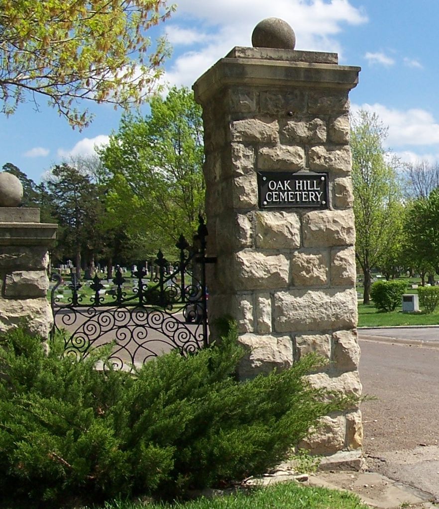
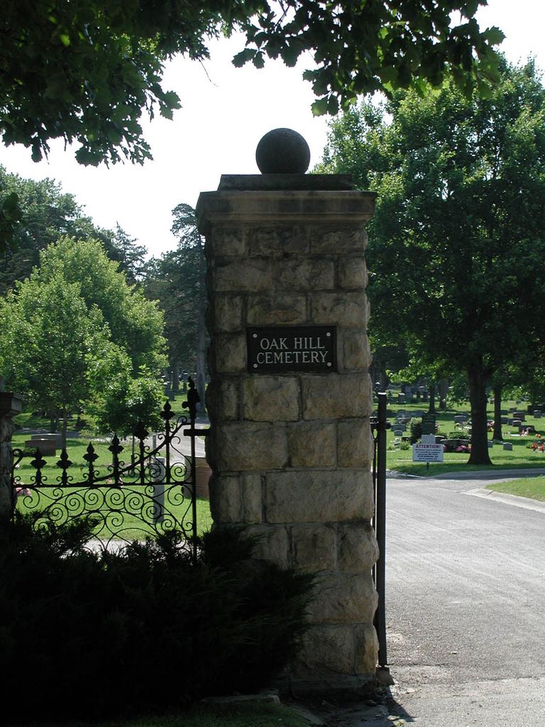
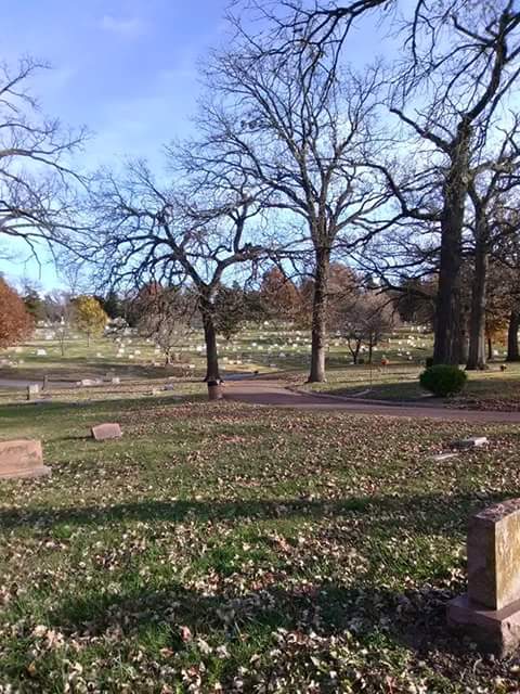
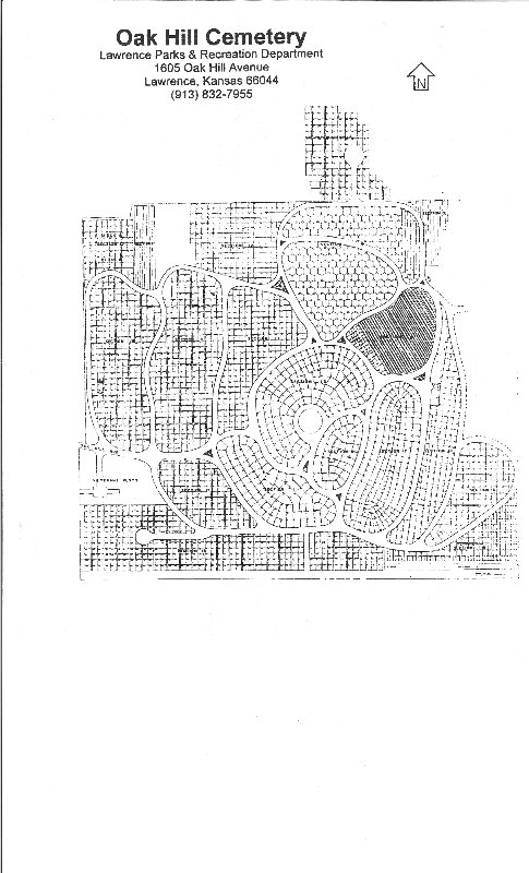
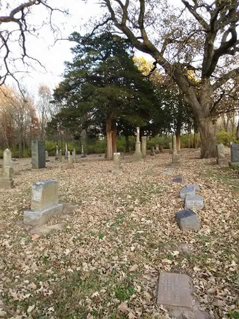
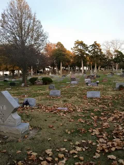
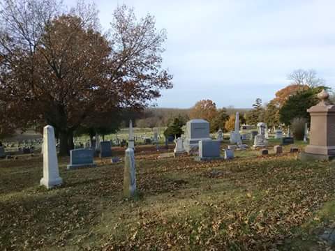
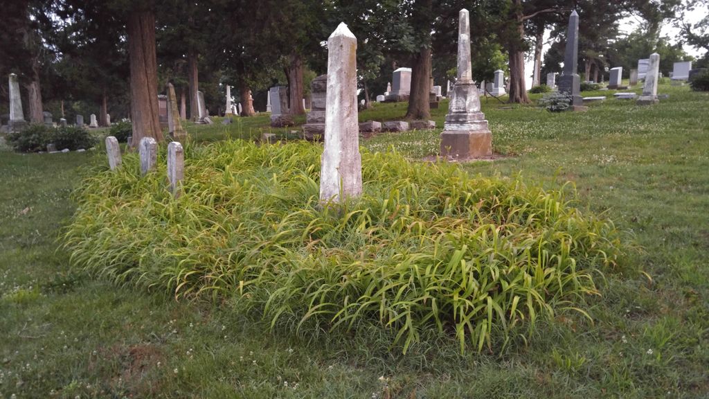
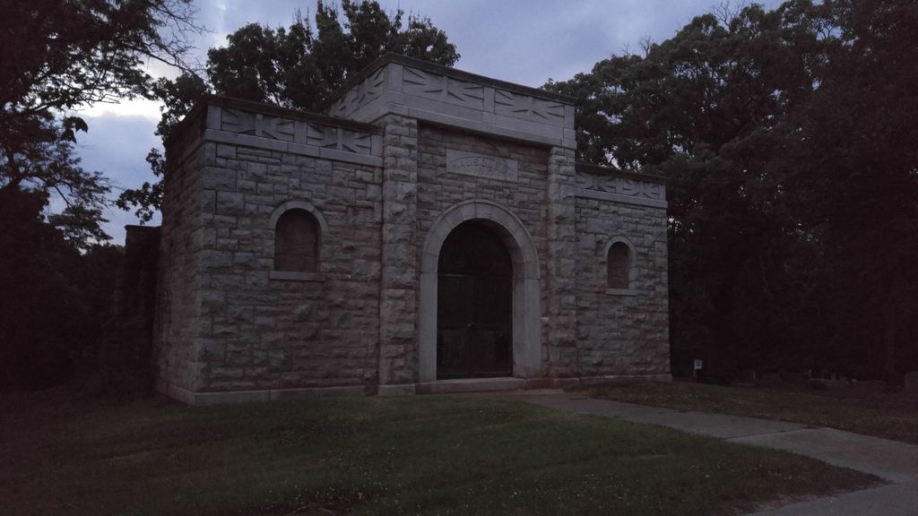
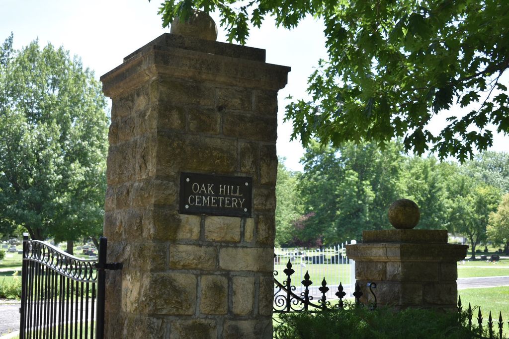
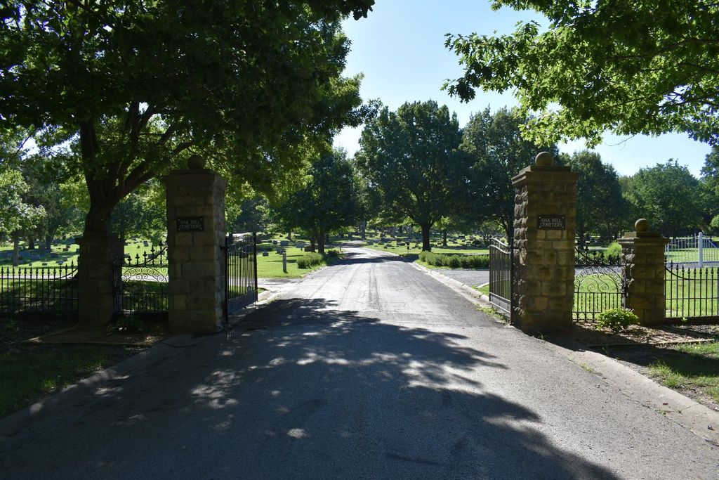
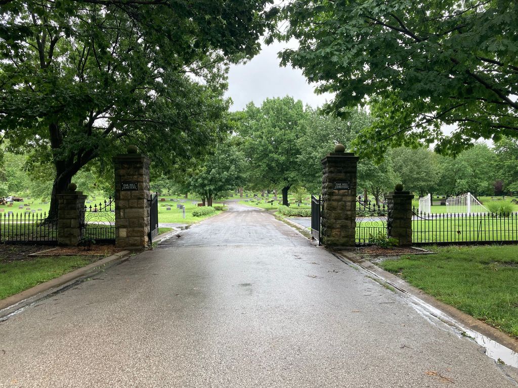
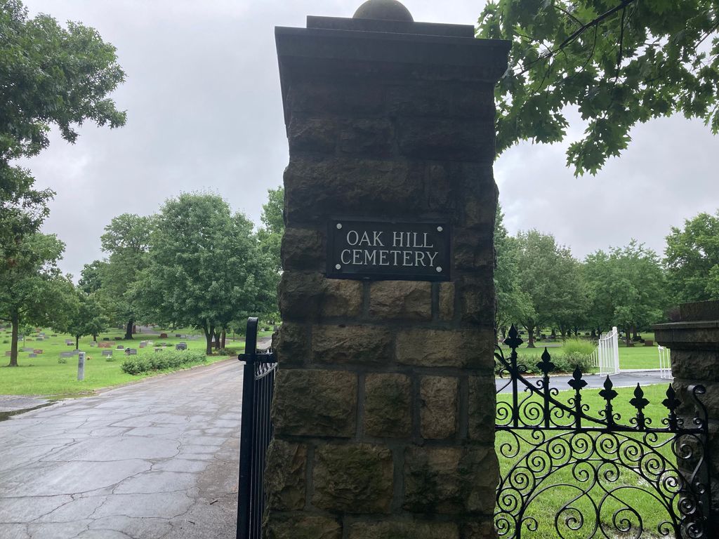
| Description | : | Oak Hill Cemetery is on the Registry of Historic Places. City of Lawrence Department of Parks & Recreation Their website has an interactive map of the cemetery. Grave locations can be looked up on the map by the name of person interred or the person who purchased the plot or by plot number. |
frequently asked questions (FAQ):
-
Where is Oak Hill Cemetery?
Oak Hill Cemetery is located at 1605 Oak Hill Avenue Lawrence, Douglas County ,Kansas ,USA.
-
Oak Hill Cemetery cemetery's updated grave count on graveviews.com?
10044 memorials
-
Where are the coordinates of the Oak Hill Cemetery?
Latitude: 38.9589005
Longitude: -95.2118988
Nearby Cemetories:
1. Mount Calvary Catholic Cemetery
Lawrence, Douglas County, USA
Coordinate: 38.9580002, -95.2139969
2. Memorial Park Cemetery
Lawrence, Douglas County, USA
Coordinate: 38.9552994, -95.2153015
3. Trinity Episcopal Church Columbarium
Lawrence, Douglas County, USA
Coordinate: 38.9653893, -95.2373886
4. Saint Johns Catholic Cemetery
Douglas County, USA
Coordinate: 38.9437900, -95.1919600
5. Dyche Hall Natural History Museum
Lawrence, Douglas County, USA
Coordinate: 38.9584800, -95.2434800
6. Franklin Cemetery
Douglas County, USA
Coordinate: 38.9437523, -95.1869431
7. Haskell Cemetery
Lawrence, Douglas County, USA
Coordinate: 38.9353790, -95.2284241
8. Pioneer Cemetery
Lawrence, Douglas County, USA
Coordinate: 38.9528008, -95.2611008
9. First Presbyterian Church Memorial Garden
Lawrence, Douglas County, USA
Coordinate: 38.9414900, -95.2641600
10. Maple Grove Cemetery
Lawrence, Douglas County, USA
Coordinate: 39.0018997, -95.2316971
11. County Poor Farm Cemetery
Douglas County, USA
Coordinate: 38.9119400, -95.2214600
12. Adams Cemetery
Douglas County, USA
Coordinate: 38.9955400, -95.2509100
13. Kennedy Cemetery
Douglas County, USA
Coordinate: 38.9112900, -95.2269200
14. Davis Cemetery
Lawrence, Douglas County, USA
Coordinate: 38.9722500, -95.2831100
15. Blue Mound Cemetery
Lawrence, Douglas County, USA
Coordinate: 38.9046600, -95.1865400
16. Marshall Cemetery
Douglas County, USA
Coordinate: 38.9040800, -95.2446700
17. Dutton Cemetery
Douglas County, USA
Coordinate: 38.8989800, -95.2790600
18. Luckan Family Cemetery
Fall Leaf, Leavenworth County, USA
Coordinate: 38.9808500, -95.1128000
19. Cemetery Beni Israel
Eudora, Douglas County, USA
Coordinate: 38.9280128, -95.1122208
20. Southwest City Cemetery
Eudora, Douglas County, USA
Coordinate: 38.9334800, -95.1070300
21. Lyon Family Cemetery
Lawrence, Douglas County, USA
Coordinate: 38.9877440, -95.3166530
22. Corpus Christi Catholic Church Columbarium
Lawrence, Douglas County, USA
Coordinate: 38.9572250, -95.3238450
23. Richland Cemetery
Lawrence, Douglas County, USA
Coordinate: 38.8768997, -95.2630997
24. Delaware Cemetery
Linwood, Leavenworth County, USA
Coordinate: 38.9642982, -95.0936356