| Memorials | : | 0 |
| Location | : | Hirblingen, Landkreis Augsburg, Germany |
| Coordinate | : | 48.4227910, 10.8294790 |
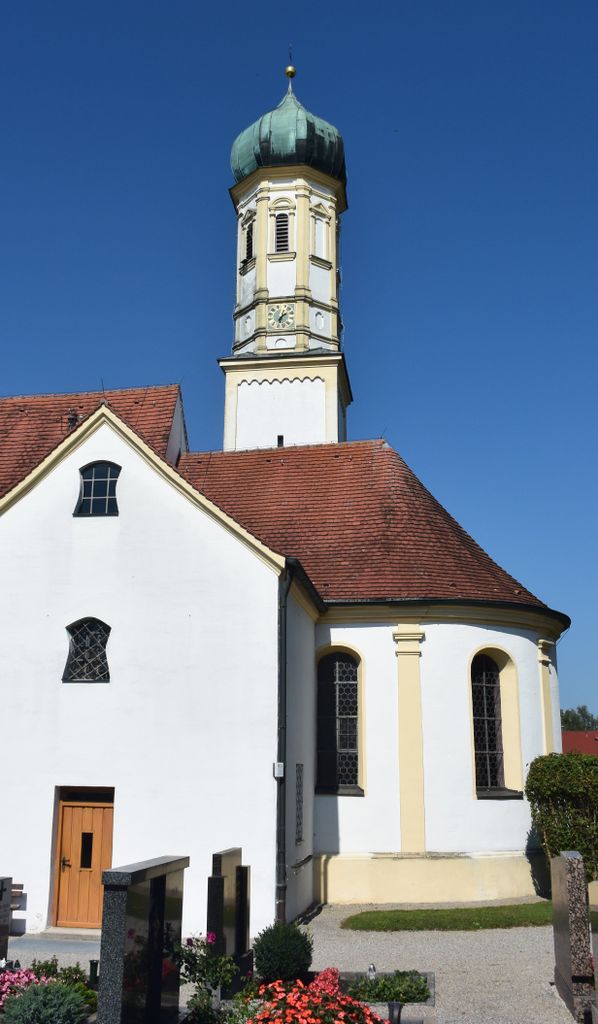
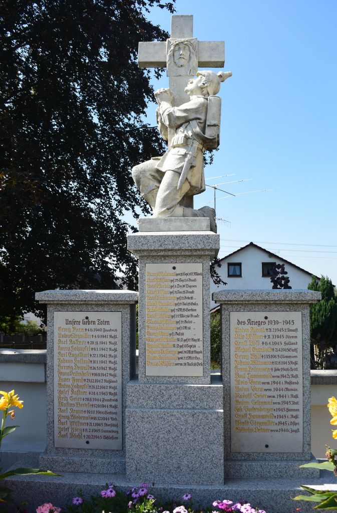
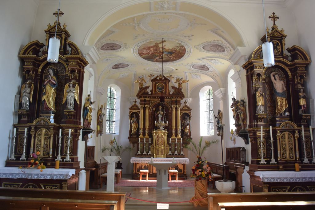
| Description | : | This is a village cemetery located in the church yard of an old Baroque parish church dedicated to Saint Blasius. (Note: Graves in Germany are not perpetual. After a period of repose (20-30 years) the graves are leveled and re-used. There is no toxic embalming done in Germany, so the coffin and contents decompose naturally. If the family of the deceased decides to purchase another period, the duration can be extended. War Graves are considered memorials and are kept up by the owner of the cemetery. Those are kept forever.) |
frequently asked questions (FAQ):
-
Where is Friedhof Hirblingen?
Friedhof Hirblingen is located at Pfarrer-Reinauer-Weg 5 Hirblingen, Landkreis Augsburg ,Bavaria (Bayern) , 86368Germany.
-
Friedhof Hirblingen cemetery's updated grave count on graveviews.com?
0 memorials
-
Where are the coordinates of the Friedhof Hirblingen?
Latitude: 48.4227910
Longitude: 10.8294790
Nearby Cemetories:
1. Friedhof Taefertingen
Tafertingen, Landkreis Augsburg, Germany
Coordinate: 48.4106670, 10.8286610
2. Friedhof Batzenhofen
Batzenhofen, Landkreis Augsburg, Germany
Coordinate: 48.4341640, 10.8151790
3. Friedhof Neusaess
Neusass, Landkreis Augsburg, Germany
Coordinate: 48.3973960, 10.8342570
4. Friedhof Ottmarshausen
Ottmarshausen, Landkreis Augsburg, Germany
Coordinate: 48.3980330, 10.8055660
5. Friedhof Gablingen
Gablingen, Landkreis Augsburg, Germany
Coordinate: 48.4517860, 10.8194480
6. Friedhof Gersthofen
Gersthofen, Landkreis Augsburg, Germany
Coordinate: 48.4301720, 10.8761050
7. Friedhof Hainhofen
Hainhofen, Landkreis Augsburg, Germany
Coordinate: 48.3869620, 10.7965810
8. Kath. Friedhof Kriegshaber
Kriegshaber, Stadtkreis Augsburg, Germany
Coordinate: 48.3820270, 10.8472520
9. Nordfriedhof
Augsburg, Stadtkreis Augsburg, Germany
Coordinate: 48.3899260, 10.8759980
10. Friedhof Aystetten
Aystetten, Landkreis Augsburg, Germany
Coordinate: 48.4035370, 10.7661700
11. Friedhof Stettenhofen
Stettenhofen, Landkreis Augsburg, Germany
Coordinate: 48.4649390, 10.8645490
12. Jüdischer Friedhof Augsburg
Kriegshaber, Stadtkreis Augsburg, Germany
Coordinate: 48.3718660, 10.8532310
13. Westfriedhof
Augsburg, Stadtkreis Augsburg, Germany
Coordinate: 48.3674280, 10.8601560
14. Friedhof Stadtbergen
Stadtbergen, Landkreis Augsburg, Germany
Coordinate: 48.3644090, 10.8427480
15. Neuer Friedhof Langweid
Langweid, Landkreis Augsburg, Germany
Coordinate: 48.4858740, 10.8494670
16. Augsburger Dom
Augsburg, Stadtkreis Augsburg, Germany
Coordinate: 48.3727780, 10.8966670
17. Friedhof Langweid am Lech
Langweid, Landkreis Augsburg, Germany
Coordinate: 48.4878200, 10.8596870
18. Friedhof Biburg
Biburg, Landkreis Augsburg, Germany
Coordinate: 48.3748890, 10.7555570
19. Sankt Anna Kirche
Augsburg, Stadtkreis Augsburg, Germany
Coordinate: 48.3677030, 10.8955090
20. Friedhof Leitershofen
Stadtbergen, Landkreis Augsburg, Germany
Coordinate: 48.3511280, 10.8345590
21. Kath. Hermanfriedhof Augsburg
Augsburg, Stadtkreis Augsburg, Germany
Coordinate: 48.3636780, 10.8910390
22. Friedhof Adelsried
Adelsried, Landkreis Augsburg, Germany
Coordinate: 48.4268560, 10.7158760
23. Basilika Sankt Ulrich und Afra
Augsburg, Stadtkreis Augsburg, Germany
Coordinate: 48.3619100, 10.9000700
24. Friedhof Diedorf
Diedorf, Landkreis Augsburg, Germany
Coordinate: 48.3529000, 10.7781000


