
| Memorials | : | 0 |
| Location | : | Holzbronn, Landkreis Calw, Germany |
| Website | : | www.calw.de/Friedhoefe/uebersicht |
| Coordinate | : | 48.6558734, 8.7411899 |
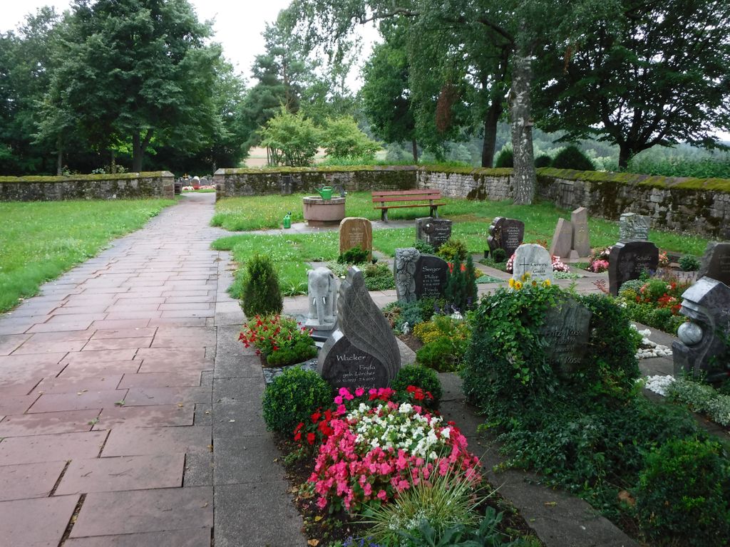
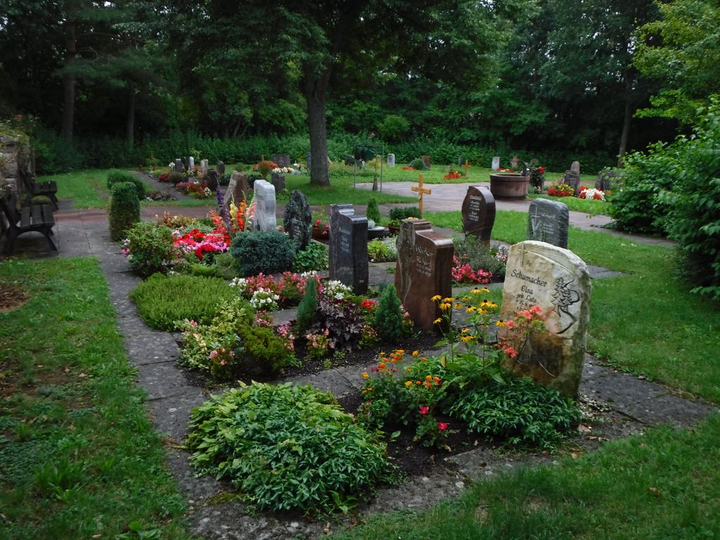
| Description | : | A small rectangular sloping cemetery with good trees divided into two sections on the edge of the village. |
frequently asked questions (FAQ):
-
Where is Friedhof Holzbronn?
Friedhof Holzbronn is located at Im Klösterle 48 Holzbronn, Landkreis Calw ,Baden-Württemberg , 75365Germany.
-
Friedhof Holzbronn cemetery's updated grave count on graveviews.com?
0 memorials
-
Where are the coordinates of the Friedhof Holzbronn?
Latitude: 48.6558734
Longitude: 8.7411899
Nearby Cemetories:
1. Friedhof Gültlingen
Gültlingen, Landkreis Calw, Germany
Coordinate: 48.6477050, 8.7770410
2. Friedhof Altbulach
Altbulach, Landkreis Calw, Germany
Coordinate: 48.6643377, 8.7041174
3. Alter Friedhof Wildberg
Wildberg, Landkreis Calw, Germany
Coordinate: 48.6267320, 8.7446510
4. Friedhof Schönbronn
Schönbronn, Landkreis Calw, Germany
Coordinate: 48.6371909, 8.6993554
5. Kloster Reuthin
Reutin, Landkreis Calw, Germany
Coordinate: 48.6213400, 8.7463500
6. Friedhof Neubulach
Neubulach, Landkreis Calw, Germany
Coordinate: 48.6647865, 8.6904082
7. Friedhof Wildberg
Wildberg, Landkreis Calw, Germany
Coordinate: 48.6211312, 8.7303742
8. Friedhof Effringen
Effringen, Landkreis Calw, Germany
Coordinate: 48.6227681, 8.7168958
9. Alter Friedhof Karcher in Sulz am Eck
Sulz am Eck, Landkreis Calw, Germany
Coordinate: 48.6242662, 8.7738541
10. Friedhof Sommenhardt
Sommenhardt, Landkreis Calw, Germany
Coordinate: 48.6880929, 8.7092259
11. Friedhof Kentheim
Kentheim, Landkreis Calw, Germany
Coordinate: 48.6952770, 8.7308230
12. Friedhof Sulz am Eck
Sulz am Eck, Landkreis Calw, Germany
Coordinate: 48.6230769, 8.7776086
13. Friedhof Oberhaugstett
Oberhaugstett, Landkreis Calw, Germany
Coordinate: 48.6572561, 8.6782932
14. Friedhof Stammheim
Stammheim, Landkreis Calw, Germany
Coordinate: 48.6957376, 8.7692732
15. Friedhof Liebelsberg
Liebelsberg, Landkreis Calw, Germany
Coordinate: 48.6763116, 8.6781452
16. Alter Friedhof Zavelstein
Zavelstein, Landkreis Calw, Germany
Coordinate: 48.6945310, 8.6901490
17. Friedhof Bad Teinach
Bad Teinach, Landkreis Calw, Germany
Coordinate: 48.6922220, 8.6863450
18. Friedhof Rotfelden
Rotfelden, Landkreis Calw, Germany
Coordinate: 48.6093995, 8.6998371
19. Friedhof Deckenpfronn
Deckenpfronn, Landkreis Böblingen, Germany
Coordinate: 48.6526260, 8.8234420
20. Waldfriedhof Zavelstein
Zavelstein, Landkreis Calw, Germany
Coordinate: 48.6990356, 8.6818618
21. Ruhewald der Stadt Bad Teinach-Zavelstein
Zavelstein, Landkreis Calw, Germany
Coordinate: 48.7003900, 8.6826400
22. Friedhof Wenden
Wenden, Landkreis Calw, Germany
Coordinate: 48.6206200, 8.6654934
23. Friedhof Emberg
Emberg, Landkreis Calw, Germany
Coordinate: 48.6914897, 8.6656913
24. Friedhof Calw Zentrum
Calw, Landkreis Calw, Germany
Coordinate: 48.7195980, 8.7384700