
| Memorials | : | 0 |
| Location | : | Sommenhardt, Landkreis Calw, Germany |
| Coordinate | : | 48.6880929, 8.7092259 |
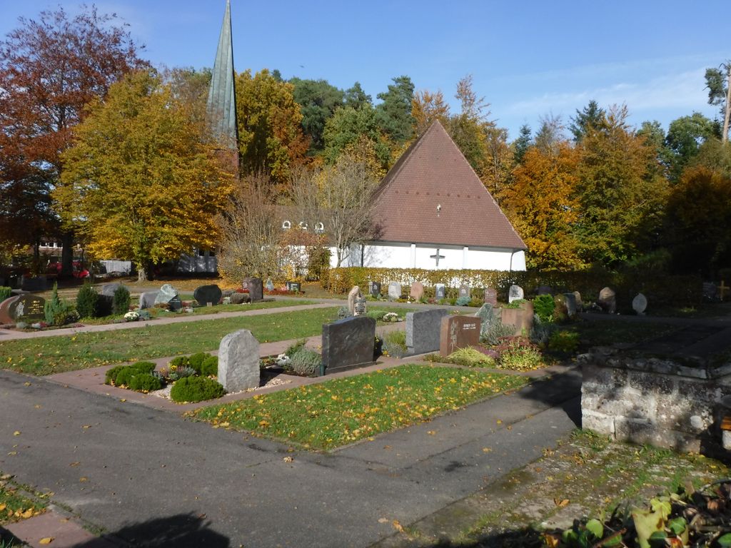
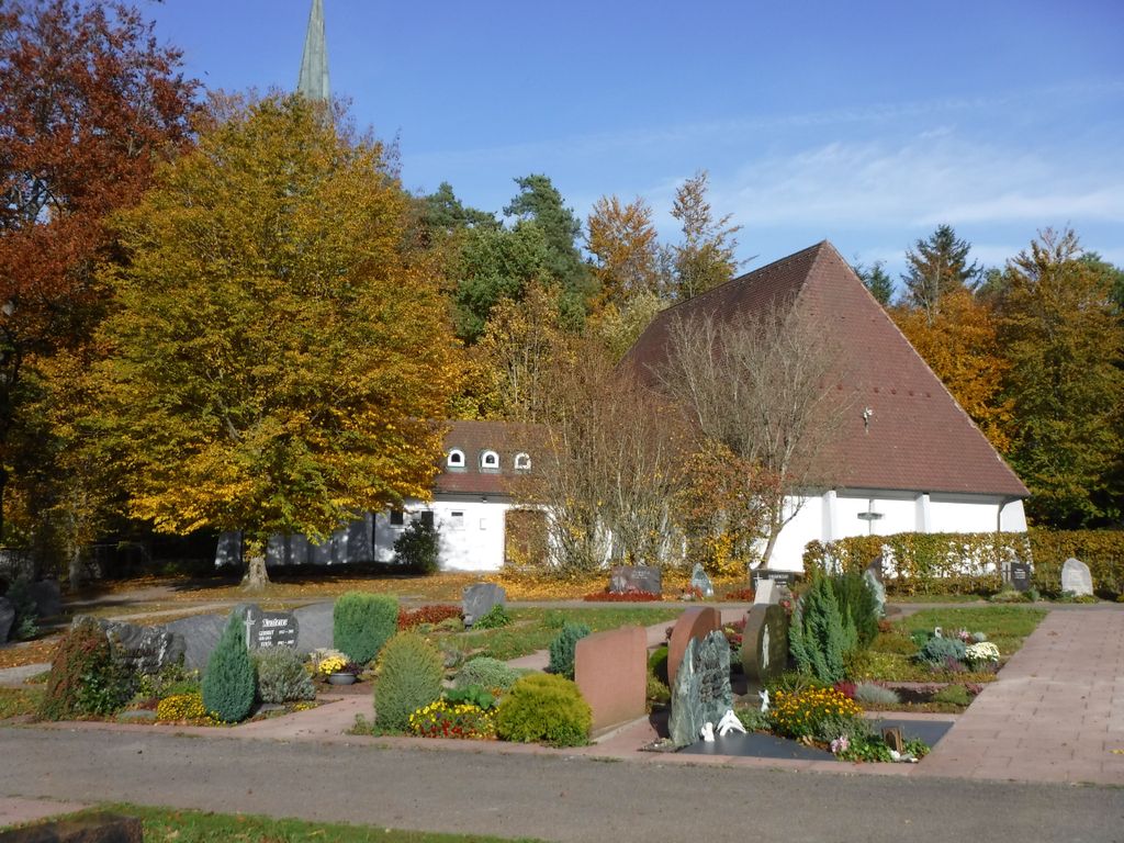
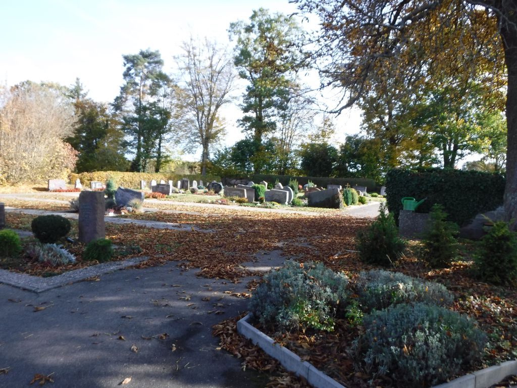
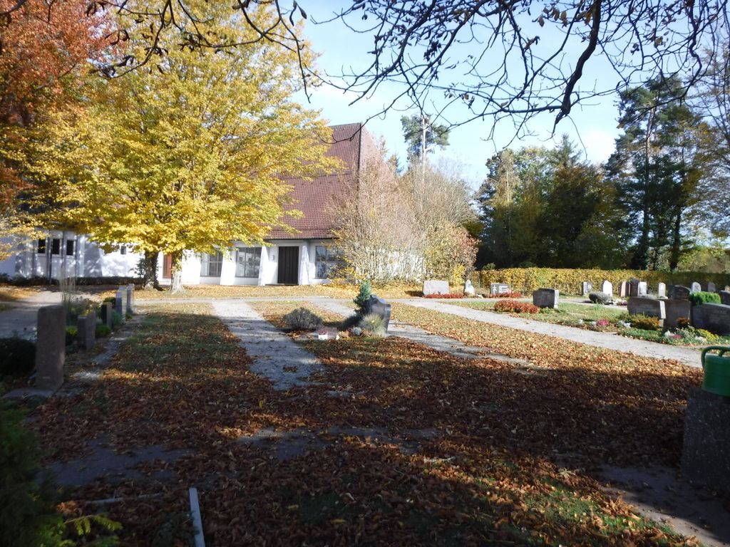
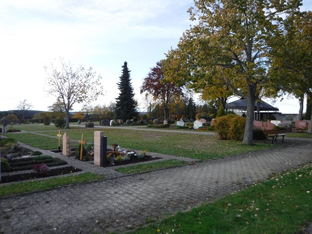
| Description | : | A small sloped cemetery, surrounded by fields on the top of a hill by the side of the church. |
frequently asked questions (FAQ):
-
Where is Friedhof Sommenhardt?
Friedhof Sommenhardt is located at Am Friedhof 10 Sommenhardt, Landkreis Calw ,Baden-Württemberg , 75385Germany.
-
Friedhof Sommenhardt cemetery's updated grave count on graveviews.com?
0 memorials
-
Where are the coordinates of the Friedhof Sommenhardt?
Latitude: 48.6880929
Longitude: 8.7092259
Nearby Cemetories:
1. Alter Friedhof Zavelstein
Zavelstein, Landkreis Calw, Germany
Coordinate: 48.6945310, 8.6901490
2. Friedhof Bad Teinach
Bad Teinach, Landkreis Calw, Germany
Coordinate: 48.6922220, 8.6863450
3. Friedhof Kentheim
Kentheim, Landkreis Calw, Germany
Coordinate: 48.6952770, 8.7308230
4. Waldfriedhof Zavelstein
Zavelstein, Landkreis Calw, Germany
Coordinate: 48.6990356, 8.6818618
5. Ruhewald der Stadt Bad Teinach-Zavelstein
Zavelstein, Landkreis Calw, Germany
Coordinate: 48.7003900, 8.6826400
6. Friedhof Liebelsberg
Liebelsberg, Landkreis Calw, Germany
Coordinate: 48.6763116, 8.6781452
7. Friedhof Altbulach
Altbulach, Landkreis Calw, Germany
Coordinate: 48.6643377, 8.7041174
8. Friedhof Neubulach
Neubulach, Landkreis Calw, Germany
Coordinate: 48.6647865, 8.6904082
9. Friedhof Emberg
Emberg, Landkreis Calw, Germany
Coordinate: 48.6914897, 8.6656913
10. Friedhof Weltenschwann Speßhardt
Speßhardt, Landkreis Calw, Germany
Coordinate: 48.7146380, 8.6913169
11. Friedhof Alzenberg
Alzenberg, Landkreis Calw, Germany
Coordinate: 48.7199276, 8.7181732
12. Friedhof Calw Zentrum
Calw, Landkreis Calw, Germany
Coordinate: 48.7195980, 8.7384700
13. Friedhof Oberhaugstett
Oberhaugstett, Landkreis Calw, Germany
Coordinate: 48.6572561, 8.6782932
14. Friedhof Rötenbach
Rötenbach (Bad Teinach-Zavelstein), Landkreis Calw, Germany
Coordinate: 48.7138633, 8.6678091
15. Friedhof Schmieh
Schmieh, Landkreis Calw, Germany
Coordinate: 48.6837520, 8.6526770
16. Friedhof Holzbronn
Holzbronn, Landkreis Calw, Germany
Coordinate: 48.6558734, 8.7411899
17. Friedhof Altburg
Altburg, Landkreis Calw, Germany
Coordinate: 48.7272885, 8.6999602
18. Friedhof Stammheim
Stammheim, Landkreis Calw, Germany
Coordinate: 48.6957376, 8.7692732
19. Friedhof Heumaden
Heumaden, Landkreis Calw, Germany
Coordinate: 48.7187762, 8.7616250
20. Friedhof Schönbronn
Schönbronn, Landkreis Calw, Germany
Coordinate: 48.6371909, 8.6993554
21. Kloster Hirsau
Hirsau, Landkreis Calw, Germany
Coordinate: 48.7377780, 8.7322220
22. Kriegerdenkmal Breitenberg
Breitenberg, Landkreis Calw, Germany
Coordinate: 48.6681570, 8.6358010
23. Friedhof Breitenberg
Breitenberg, Landkreis Calw, Germany
Coordinate: 48.6687080, 8.6335910
24. Friedhof Hirsau
Hirsau, Landkreis Calw, Germany
Coordinate: 48.7384700, 8.7372900