
| Memorials | : | 0 |
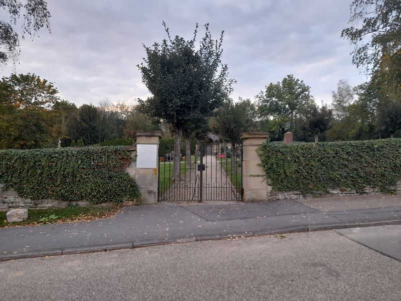
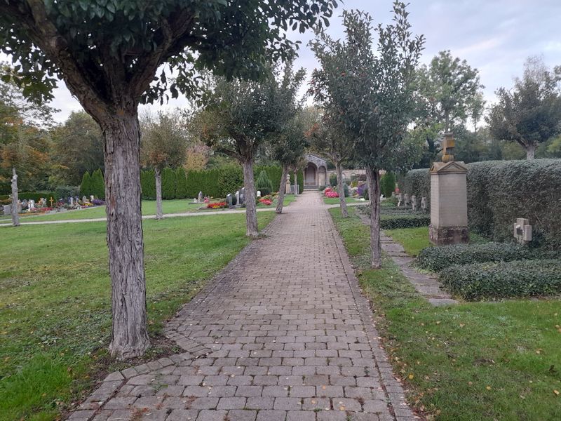
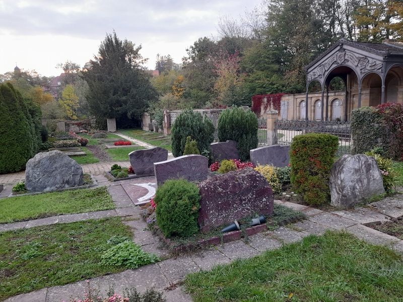
| Location | : | Jagsthausen, Landkreis Heilbronn, Germany |
| Coordinate | : | 49.3116250, 9.4726030 |
frequently asked questions (FAQ):
-
Where is Friedhof Jagsthausen?
Friedhof Jagsthausen is located at Jagsthausen, Landkreis Heilbronn ,Baden-Württemberg ,Germany.
-
Friedhof Jagsthausen cemetery's updated grave count on graveviews.com?
0 memorials
-
Where are the coordinates of the Friedhof Jagsthausen?
Latitude: 49.3116250
Longitude: 9.4726030
Nearby Cemetories:
1. Jüdischer Friedhof Berlichingen
Berlichingen, Hohenlohekreis, Germany
Coordinate: 49.3152500, 9.4951100
2. Kloster Schöntal
Schöntal, Hohenlohekreis, Germany
Coordinate: 49.3281000, 9.5047000
3. Friedhof Westernhausen
Westernhausen, Hohenlohekreis, Germany
Coordinate: 49.3390615, 9.5602575
4. Waldfriedhof Schöntal
Schöntal, Hohenlohekreis, Germany
Coordinate: 49.3733000, 9.5271500
5. Kath. Pfarrkirche St. Georg
Aschhausen, Hohenlohekreis, Germany
Coordinate: 49.3709720, 9.5415140
6. Friedhof Aschhausen
Schöntal, Hohenlohekreis, Germany
Coordinate: 49.3713401, 9.5420303
7. Friedhof Möckmühl
Möckmühl, Landkreis Heilbronn, Germany
Coordinate: 49.3282500, 9.3544400
8. Friedhof Sennfeld
Sennfeld, Neckar-Odenwald-Kreis, Germany
Coordinate: 49.3789680, 9.3863162
9. Jüdischer Friedhof Sennfeld
Sennfeld, Neckar-Odenwald-Kreis, Germany
Coordinate: 49.3835200, 9.3930700
10. Jüdischer Friedhof Merchingen
Merchingen, Neckar-Odenwald-Kreis, Germany
Coordinate: 49.4010700, 9.5150500
11. Friedhof Züttlingen
Züttlingen, Landkreis Heilbronn, Germany
Coordinate: 49.2974800, 9.3301700
12. Friedhof Langenbeutingen
Langenbeutingen, Landkreis Heilbronn, Germany
Coordinate: 49.2125689, 9.4194584
13. Friedhof Brettach
Brettach, Landkreis Heilbronn, Germany
Coordinate: 49.2254161, 9.3790316
14. Friedhof Adelsheim
Adelsheim, Neckar-Odenwald-Kreis, Germany
Coordinate: 49.4047430, 9.3864750
15. Jüdischer Friedhof Öhringen
Öhringen, Hohenlohekreis, Germany
Coordinate: 49.2011130, 9.4853630
16. Friedhof Bürg
Neuenstadt am Kocher, Landkreis Heilbronn, Germany
Coordinate: 49.2448400, 9.3355900
17. Stiftskirche St. Peter und Paul
Öhringen, Hohenlohekreis, Germany
Coordinate: 49.2005560, 9.5027780
18. Jüdischer Friedhof Stein am Kocher
Stein am Kocher, Landkreis Heilbronn, Germany
Coordinate: 49.2730800, 9.3065400
19. Nikolauskirche
Neuenstadt am Kocher, Landkreis Heilbronn, Germany
Coordinate: 49.2371300, 9.3301400
20. Friedhof Neuenstadt am Kocher
Neuenstadt am Kocher, Landkreis Heilbronn, Germany
Coordinate: 49.2355160, 9.3314800
21. Friedhof Cleversulzbach
Neuenstadt am Kocher, Landkreis Heilbronn, Germany
Coordinate: 49.2156380, 9.3535060
22. Friedhof Krautheim
Krautheim, Hohenlohekreis, Germany
Coordinate: 49.3839132, 9.6322848
23. Friedhof Neuenstein
Neuenstein, Hohenlohekreis, Germany
Coordinate: 49.2069300, 9.5846900
24. Friedhof Schwabbach
Bretzfeld, Hohenlohekreis, Germany
Coordinate: 49.1845488, 9.4015736