
| Memorials | : | 0 |
| Location | : | Marktoberdorf, Landkreis Ostallgäu, Germany |
| Coordinate | : | 47.7811811, 10.6221476 |
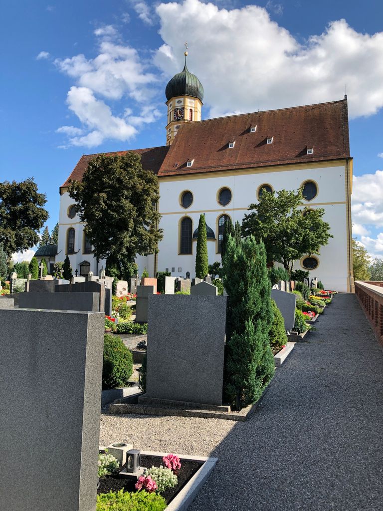
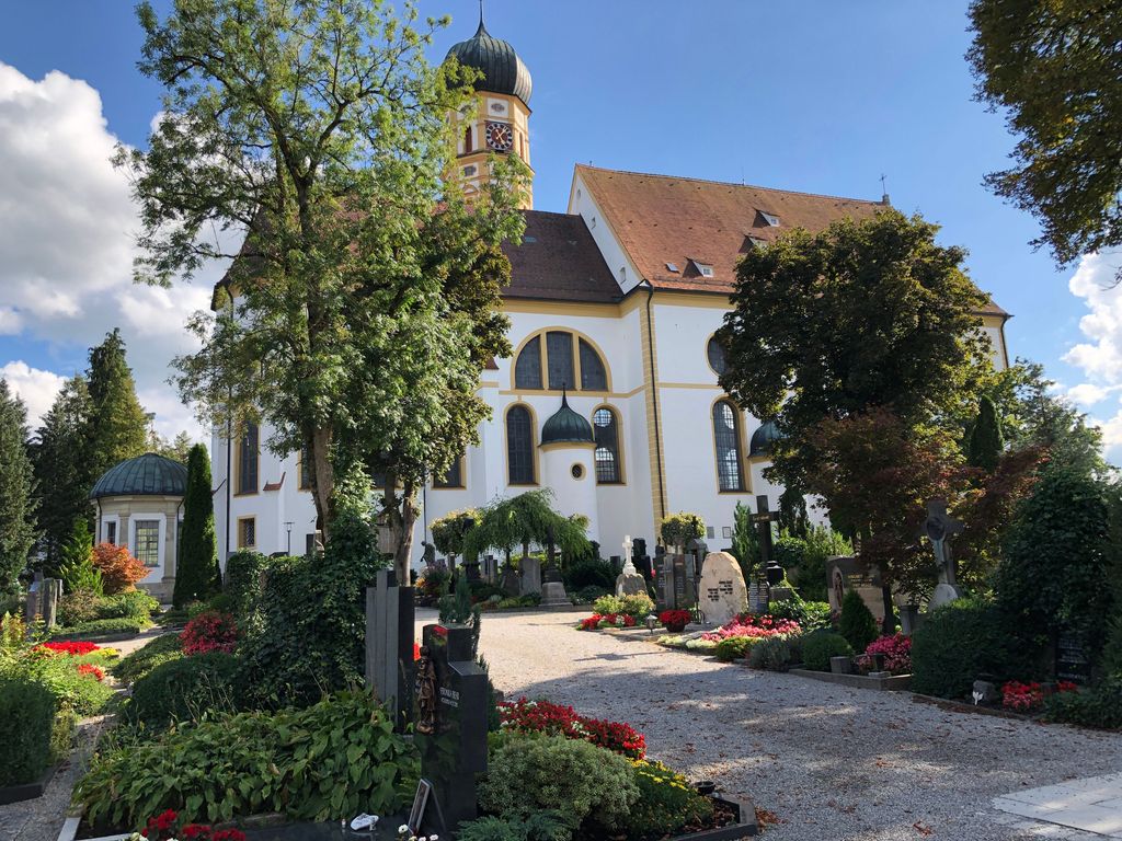
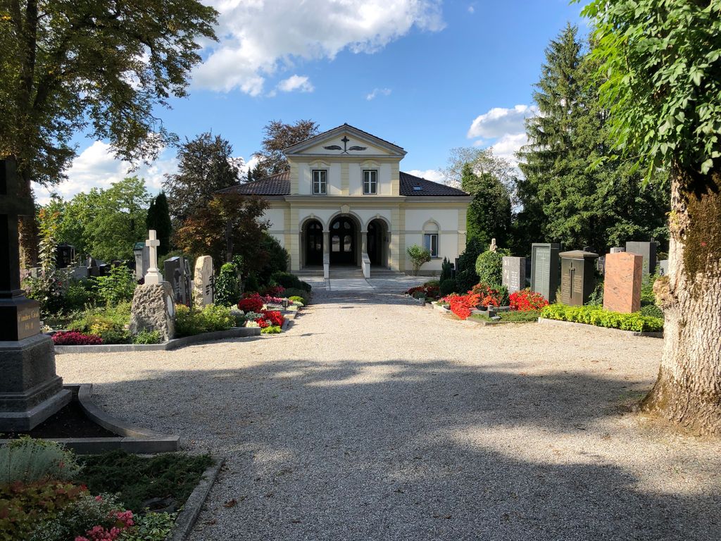
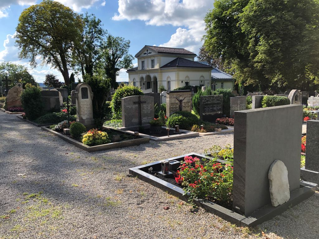
| Description | : | The cemetery is located on top of a hill overviewing the city. The cemetery is also situated next to the catholic church St. Martin. |
frequently asked questions (FAQ):
-
Where is Friedhof Marktoberdorf?
Friedhof Marktoberdorf is located at Keltenstr. 2 Marktoberdorf, Landkreis Ostallgäu ,Bavaria (Bayern) , 87616Germany.
-
Friedhof Marktoberdorf cemetery's updated grave count on graveviews.com?
0 memorials
-
Where are the coordinates of the Friedhof Marktoberdorf?
Latitude: 47.7811811
Longitude: 10.6221476
Nearby Cemetories:
1. Kirche St. Pankratius
Marktoberdorf, Landkreis Ostallgäu, Germany
Coordinate: 47.7773209, 10.6147911
2. Alter Friedhof Geisenried
Geisenried, Landkreis Ostallgäu, Germany
Coordinate: 47.7701164, 10.5614843
3. Friedhof Oberthingau
Oberthingau, Landkreis Ostallgäu, Germany
Coordinate: 47.7549800, 10.5186000
4. Friedhof Unterthingau
Unterthingau, Landkreis Ostallgäu, Germany
Coordinate: 47.7717442, 10.5076258
5. Friedhof Hirschzell bei Kaufbeuren
Kaufbeuren, Stadtkreis Kaufbeuren, Germany
Coordinate: 47.8708740, 10.6449950
6. Alter Friedhof Kaufbeuren
Kaufbeuren, Stadtkreis Kaufbeuren, Germany
Coordinate: 47.8751920, 10.6237140
7. Waldfriedhof Kaufbeuren
Kaufbeuren, Stadtkreis Kaufbeuren, Germany
Coordinate: 47.8921620, 10.6421560
8. Friedhof St. Ulrich
Seeg, Landkreis Ostallgäu, Germany
Coordinate: 47.6534648, 10.6040439
9. Friedhof Neugablonz
Kaufbeuren, Stadtkreis Kaufbeuren, Germany
Coordinate: 47.9090930, 10.6385830
10. Friedhof Obergünzburg
Obergunzburg, Landkreis Ostallgäu, Germany
Coordinate: 47.8500360, 10.4204642
11. Friedhof
Untergermaringen, Landkreis Ostallgäu, Germany
Coordinate: 47.9447845, 10.6844284
12. Friedhof Nesselwang
Nesselwang, Landkreis Ostallgäu, Germany
Coordinate: 47.6269171, 10.5007204
13. Steingaden
Steingaden, Landkreis Weilheim-Schongau, Germany
Coordinate: 47.7016670, 10.8624720
14. Friedhof Hopfen am See Gemeindefriedhof
Fussen, Landkreis Ostallgäu, Germany
Coordinate: 47.6058660, 10.6857650
15. Waldfriedhof Schongau
Schongau, Landkreis Weilheim-Schongau, Germany
Coordinate: 47.8098248, 10.8876269
16. Kirchhof Hopfen am See
Fussen, Landkreis Ostallgäu, Germany
Coordinate: 47.6052950, 10.6853410
17. Friedhof Markt Ronsberg
Ronsberg, Landkreis Ostallgäu, Germany
Coordinate: 47.8946593, 10.4101805
18. Friedhof Haldenwang
Haldenwang, Landkreis Oberallgäu, Germany
Coordinate: 47.8025536, 10.3484542
19. City Cemetery
Schongau, Landkreis Weilheim-Schongau, Germany
Coordinate: 47.8145903, 10.8983352
20. Friedhof Bayerniederhofen
Halblech, Landkreis Ostallgäu, Germany
Coordinate: 47.6249014, 10.8006797
21. Friedhof Pfronten
Pfronten, Landkreis Ostallgäu, Germany
Coordinate: 47.5842828, 10.5542438
22. Friedhof Waltenhofen
Waltenhofen, Landkreis Oberallgäu, Germany
Coordinate: 47.5863890, 10.7291110
23. Katholischer Friedhof Weissensee bei Füssen
Fussen, Landkreis Ostallgäu, Germany
Coordinate: 47.5735040, 10.6389450
24. Waldfriedhof Füssen
Fussen, Landkreis Ostallgäu, Germany
Coordinate: 47.5795220, 10.7073350