
| Memorials | : | 0 |
| Location | : | Oberbruch, Landkreis Rastatt, Germany |
| Website | : | www.buehl.de/de/Stadt-Buerger/Rathaus/Buergerservice/Friedhoefe |
| Coordinate | : | 48.7223471, 8.0894357 |
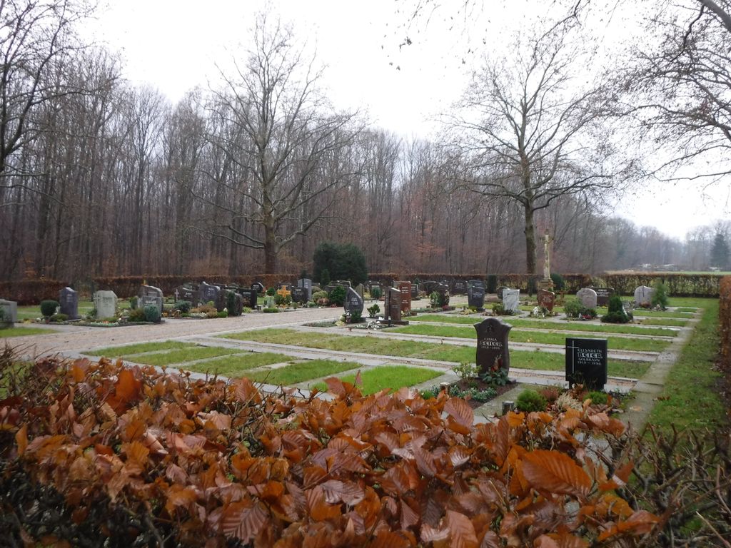
| Description | : | Friedhof des Stadtteils Oberbruch der Stadt Bühl. Cemetery of the suburb Oberbruch of the town Bühl. |
frequently asked questions (FAQ):
-
Where is Friedhof Oberbruch?
Friedhof Oberbruch is located at Mühlstettstraße Oberbruch, Landkreis Rastatt ,Baden-Württemberg , 77815Germany.
-
Friedhof Oberbruch cemetery's updated grave count on graveviews.com?
0 memorials
-
Where are the coordinates of the Friedhof Oberbruch?
Latitude: 48.7223471
Longitude: 8.0894357
Nearby Cemetories:
1. Friedhof Moos
Moos, Landkreis Rastatt, Germany
Coordinate: 48.7218761, 8.0666697
2. Friedhof Vimbuch
Vimbuch, Landkreis Rastatt, Germany
Coordinate: 48.7206735, 8.1203750
3. Friedhof Weitenung
Weitenung, Landkreis Rastatt, Germany
Coordinate: 48.7381557, 8.1331754
4. Friedhof Schwarzach
Schwarzach, Landkreis Rastatt, Germany
Coordinate: 48.7472719, 8.0507180
5. Friedhof Unzhurst
Unzhurst, Landkreis Rastatt, Germany
Coordinate: 48.6837000, 8.0579000
6. Jüdischer Friedhof Bühl
Bühl, Landkreis Rastatt, Germany
Coordinate: 48.6973322, 8.1444710
7. Soldatengrab Söllingen
Söllingen, Landkreis Rastatt, Germany
Coordinate: 48.7689760, 8.0925950
8. Stadtfriedhof Bühl
Bühl, Landkreis Rastatt, Germany
Coordinate: 48.6933891, 8.1456212
9. Kirche St. Jakobus Steinbach
Steinbach, Stadtkreis Baden-Baden, Germany
Coordinate: 48.7284500, 8.1612900
10. Friedhof Eisental
Eisental, Landkreis Rastatt, Germany
Coordinate: 48.7118042, 8.1611946
11. Friedhof Ulm
Ulm, Landkreis Rastatt, Germany
Coordinate: 48.7280600, 8.0162900
12. Friedhof Kappelwindeck
Kappelwindeck, Landkreis Rastatt, Germany
Coordinate: 48.6901268, 8.1482580
13. Friedhof Steinbach
Steinbach, Stadtkreis Baden-Baden, Germany
Coordinate: 48.7290632, 8.1654513
14. Friedhof Stollhofen
Stollhofen, Landkreis Rastatt, Germany
Coordinate: 48.7657966, 8.0459141
15. Friedhof Altschweier
Altschweier, Landkreis Rastatt, Germany
Coordinate: 48.6952705, 8.1601708
16. Friedhof Lichtenau
Lichtenau, Landkreis Rastatt, Germany
Coordinate: 48.7251959, 8.0068578
17. Friedhof Hub Ottersweier
Hub, Landkreis Rastatt, Germany
Coordinate: 48.6736652, 8.1323086
18. Friedhof Varnhalt
Varnhalt, Stadtkreis Baden-Baden, Germany
Coordinate: 48.7346196, 8.1727506
19. Friedhof Lindenfeld Ottersweier
Ottersweier, Landkreis Rastatt, Germany
Coordinate: 48.6703000, 8.1229000
20. Friedhof Tanzbühl Ottersweier
Ottersweier, Landkreis Rastatt, Germany
Coordinate: 48.6666905, 8.1127637
21. Friedhof Söllingen Rheinmünster
Söllingen, Landkreis Rastatt, Germany
Coordinate: 48.7793760, 8.0665080
22. Friedhof Scherzheim
Scherzheim, Landkreis Rastatt, Germany
Coordinate: 48.7132800, 7.9981200
23. Friedhof Greffern
Greffern, Landkreis Rastatt, Germany
Coordinate: 48.7465000, 8.0039000
24. Friedhof Neuweier
Neuweier, Stadtkreis Baden-Baden, Germany
Coordinate: 48.7197651, 8.1843530