
| Memorials | : | 0 |
| Location | : | Bühl, Landkreis Rastatt, Germany |
| Website | : | www.buehl.de/de/Stadt-Buerger/Rathaus/Buergerservice/Friedhoefe |
| Coordinate | : | 48.6933891, 8.1456212 |
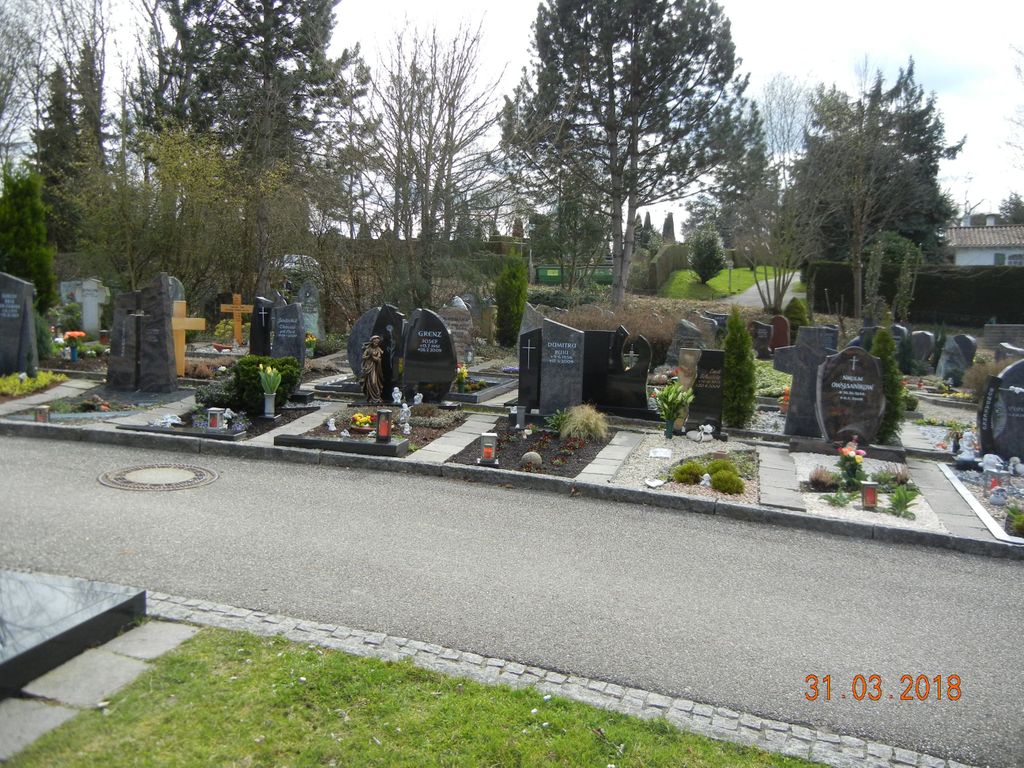
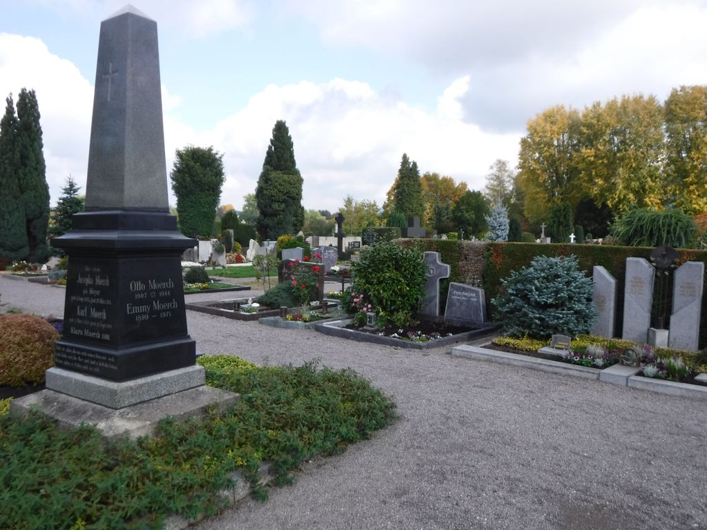
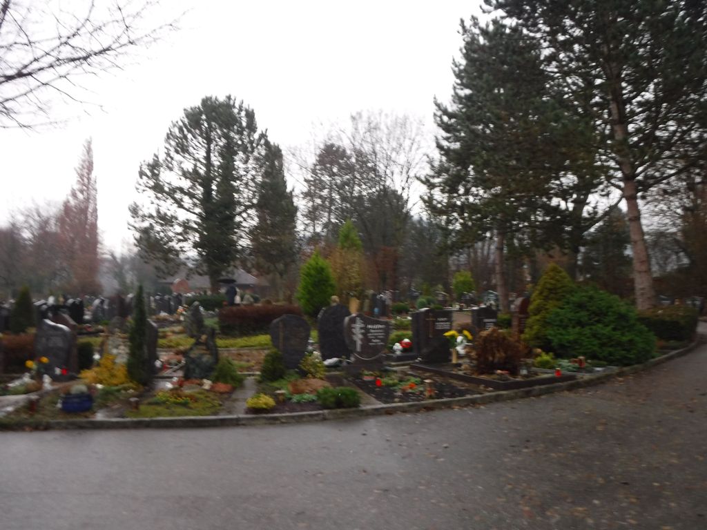
| Description | : | A huge cemetery which appears to be divided into three sections. Included are a church and a chapel, |
frequently asked questions (FAQ):
-
Where is Stadtfriedhof Bühl?
Stadtfriedhof Bühl is located at Friedhofweg. Bühl, Landkreis Rastatt ,Baden-Württemberg , 77815Germany.
-
Stadtfriedhof Bühl cemetery's updated grave count on graveviews.com?
0 memorials
-
Where are the coordinates of the Stadtfriedhof Bühl?
Latitude: 48.6933891
Longitude: 8.1456212
Nearby Cemetories:
1. Friedhof Kappelwindeck
Kappelwindeck, Landkreis Rastatt, Germany
Coordinate: 48.6901268, 8.1482580
2. Jüdischer Friedhof Bühl
Bühl, Landkreis Rastatt, Germany
Coordinate: 48.6973322, 8.1444710
3. Friedhof Altschweier
Altschweier, Landkreis Rastatt, Germany
Coordinate: 48.6952705, 8.1601708
4. Friedhof Eisental
Eisental, Landkreis Rastatt, Germany
Coordinate: 48.7118042, 8.1611946
5. Friedhof Hub Ottersweier
Hub, Landkreis Rastatt, Germany
Coordinate: 48.6736652, 8.1323086
6. Friedhof Lindenfeld Ottersweier
Ottersweier, Landkreis Rastatt, Germany
Coordinate: 48.6703000, 8.1229000
7. Friedhof Neusatz
Neusatz, Landkreis Rastatt, Germany
Coordinate: 48.6620350, 8.1444402
8. Friedhof Vimbuch
Vimbuch, Landkreis Rastatt, Germany
Coordinate: 48.7206735, 8.1203750
9. Friedhof Bühlertal
Bühlertal, Landkreis Rastatt, Germany
Coordinate: 48.6769385, 8.1911788
10. Friedhof Tanzbühl Ottersweier
Ottersweier, Landkreis Rastatt, Germany
Coordinate: 48.6666905, 8.1127637
11. Friedhof Neusatzeck
Neusatzeck, Landkreis Rastatt, Germany
Coordinate: 48.6631194, 8.1743187
12. Kirche St. Jakobus Steinbach
Steinbach, Stadtkreis Baden-Baden, Germany
Coordinate: 48.7284500, 8.1612900
13. Friedhof Neuweier
Neuweier, Stadtkreis Baden-Baden, Germany
Coordinate: 48.7197651, 8.1843530
14. Friedhof Steinbach
Steinbach, Stadtkreis Baden-Baden, Germany
Coordinate: 48.7290632, 8.1654513
15. Friedhof Varnhalt
Varnhalt, Stadtkreis Baden-Baden, Germany
Coordinate: 48.7346196, 8.1727506
16. Friedhof Weitenung
Weitenung, Landkreis Rastatt, Germany
Coordinate: 48.7381557, 8.1331754
17. Friedhof Oberbruch
Oberbruch, Landkreis Rastatt, Germany
Coordinate: 48.7223471, 8.0894357
18. Lauf Friedhof
Lauf, Ortenaukreis, Germany
Coordinate: 48.6457300, 8.1254800
19. Friedhof Sasbachried
Sasbachried, Ortenaukreis, Germany
Coordinate: 48.6542356, 8.0853877
20. Sasbach Klosterfriedhof
Sasbach, Ortenaukreis, Germany
Coordinate: 48.6399855, 8.1132405
21. Friedhof Unzhurst
Unzhurst, Landkreis Rastatt, Germany
Coordinate: 48.6837000, 8.0579000
22. Friedhof Moos
Moos, Landkreis Rastatt, Germany
Coordinate: 48.7218761, 8.0666697
23. Friedhof Obersasbach
Obersasbach, Ortenaukreis, Germany
Coordinate: 48.6321476, 8.1123624
24. Friedhof Sasbach
Sasbach, Ortenaukreis, Germany
Coordinate: 48.6369000, 8.0926000