
| Memorials | : | 0 |
| Location | : | Obertalheim, Landkreis Freudenstadt, Germany |
| Coordinate | : | 48.4885579, 8.6624215 |
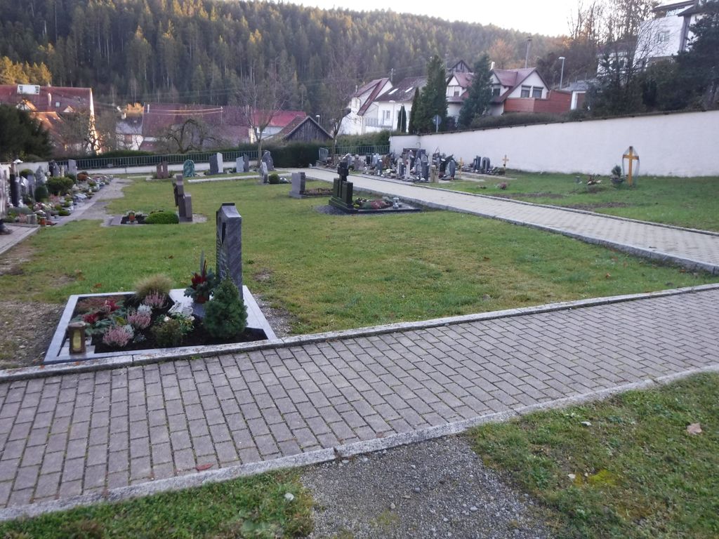
| Description | : | A medium sized rectangular sloping cemetery in two sections. |
frequently asked questions (FAQ):
-
Where is Friedhof Obertalheim?
Friedhof Obertalheim is located at FriedensStr Obertalheim, Landkreis Freudenstadt ,Baden-Württemberg , 72160Germany.
-
Friedhof Obertalheim cemetery's updated grave count on graveviews.com?
0 memorials
-
Where are the coordinates of the Friedhof Obertalheim?
Latitude: 48.4885579
Longitude: 8.6624215
Nearby Cemetories:
1. Friedhof Talheim
Horb am Neckar, Landkreis Freudenstadt, Germany
Coordinate: 48.4892300, 8.6697300
2. Friedhof Altheim
Altheim, Landkreis Freudenstadt, Germany
Coordinate: 48.4739202, 8.6373862
3. Friedhof Schietingen
Schietingen, Landkreis Calw, Germany
Coordinate: 48.5090490, 8.6998810
4. Friedhof Salzstetten
Salzstetten, Landkreis Freudenstadt, Germany
Coordinate: 48.4889152, 8.6093270
5. Friedhof Haiterbach
Haiterbach, Landkreis Calw, Germany
Coordinate: 48.5248540, 8.6533360
6. Friedhof Gündringen
Gündringen, Landkreis Calw, Germany
Coordinate: 48.5153060, 8.7070109
7. Friedhof Grünmettstetten
Horb am Neckar, Landkreis Freudenstadt, Germany
Coordinate: 48.4599619, 8.6198732
8. Friedhof Bildechingen
Bildechingen, Landkreis Freudenstadt, Germany
Coordinate: 48.4678855, 8.7171678
9. Friedhof Altnuifra
Altnuifra, Landkreis Calw, Germany
Coordinate: 48.5167920, 8.6118460
10. Friedhof Hochdorf
Hochdorf, Landkreis Calw, Germany
Coordinate: 48.4951960, 8.7291666
11. Friedhof Horb
Horb am Neckar, Landkreis Freudenstadt, Germany
Coordinate: 48.4477181, 8.6963896
12. Friedhof Nordstetten
Horb am Neckar, Landkreis Freudenstadt, Germany
Coordinate: 48.4452780, 8.6911110
13. Friedhof Rexingen
Horb am Neckar, Landkreis Freudenstadt, Germany
Coordinate: 48.4363800, 8.6529900
14. Jüdischer Friedhof Rexingen
Rexingen, Landkreis Freudenstadt, Germany
Coordinate: 48.4361870, 8.6503620
15. Jüdischer Friedhof Horb
Horb am Neckar, Landkreis Freudenstadt, Germany
Coordinate: 48.4457628, 8.7098727
16. Friedhof Beihingen
Beihingen, Landkreis Calw, Germany
Coordinate: 48.5400300, 8.6395900
17. Jüdischer Friedhof Unterschwandorf
Unterschwandorf, Landkreis Calw, Germany
Coordinate: 48.5400514, 8.6860320
18. Friedhof Iselshausen
Iselshausen, Landkreis Calw, Germany
Coordinate: 48.5263789, 8.7229854
19. Friedhof Ihlingen
Ihlingen, Landkreis Freudenstadt, Germany
Coordinate: 48.4320825, 8.6599926
20. Jüdischer Friedhof Mühlen
Horb am Neckar, Landkreis Freudenstadt, Germany
Coordinate: 48.4490920, 8.7245417
21. Friedhof Eutingen im Gäu
Eutingen, Landkreis Freudenstadt, Germany
Coordinate: 48.4728002, 8.7477544
22. St.-Hilarius-Friedhof Tumlingen
Tumlingen, Landkreis Freudenstadt, Germany
Coordinate: 48.4702890, 8.5766920
23. Friedhof Tumlingen
Tumlingen, Landkreis Freudenstadt, Germany
Coordinate: 48.4752600, 8.5738500
24. Ruhewald Nagold
Nagold, Landkreis Calw, Germany
Coordinate: 48.5414000, 8.7078000