
| Memorials | : | 0 |
| Location | : | Rahnsdorf, Treptow-Köpenick, Germany |
| Coordinate | : | 52.4382490, 13.7104230 |
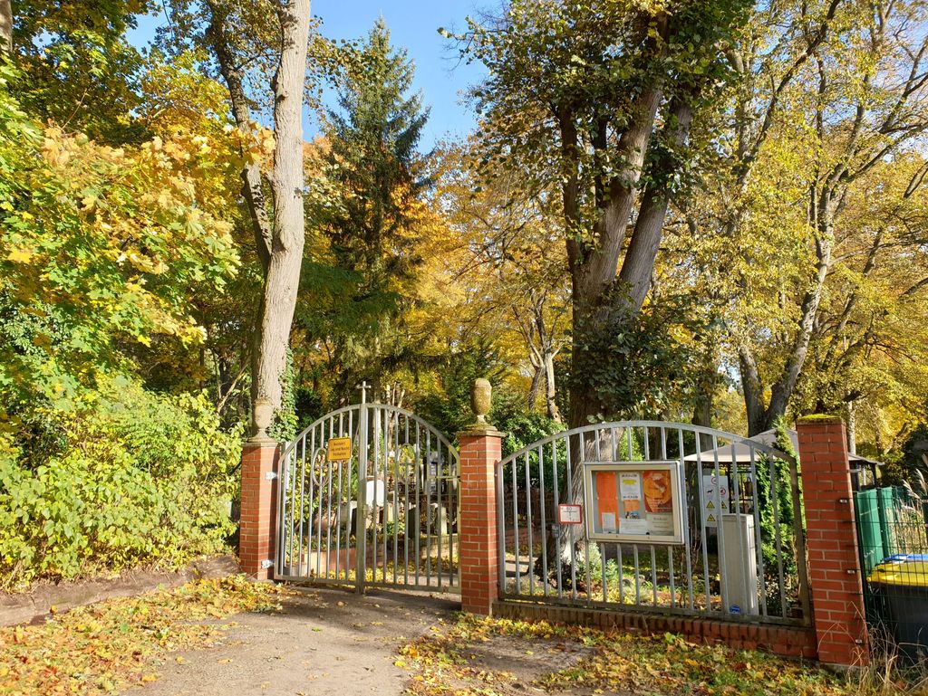
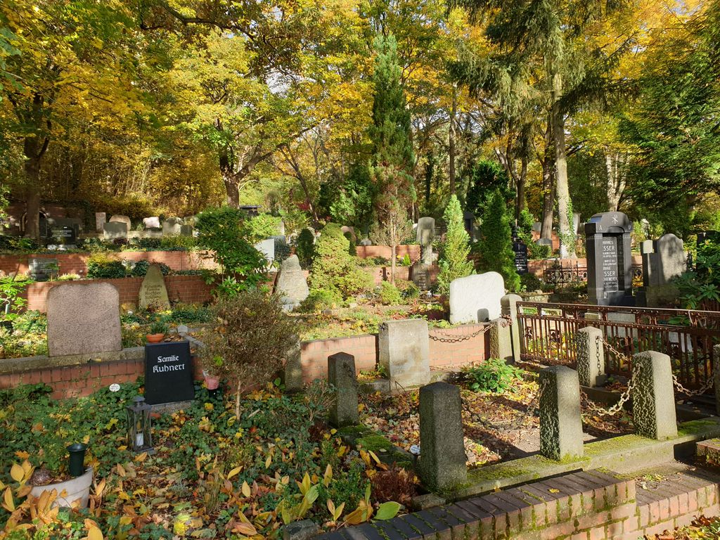
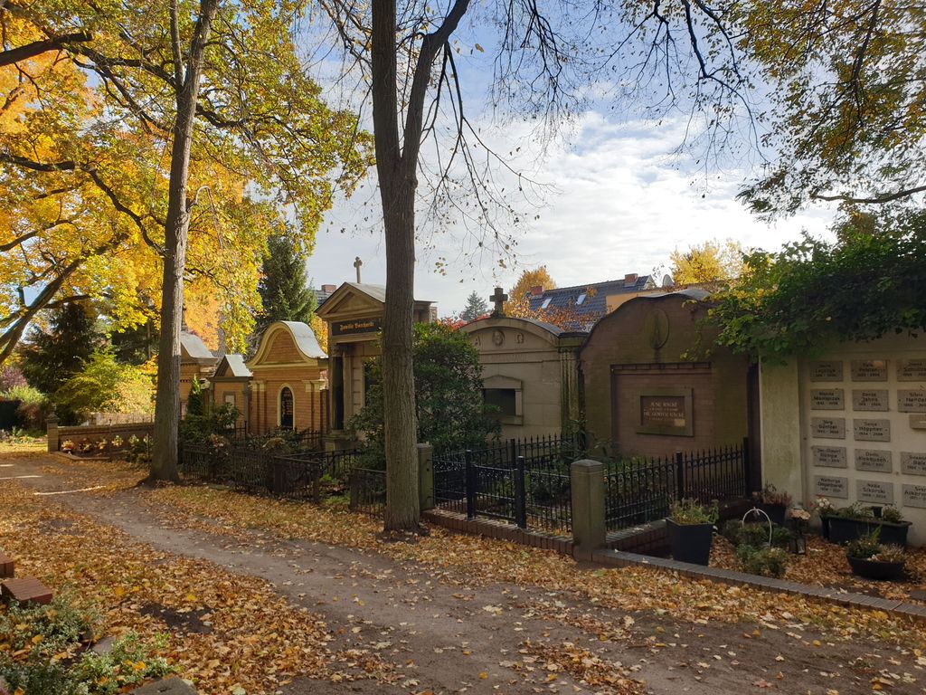
| Description | : | AKA Evangelischer Friedhof der Gemeinde Rahnsdorf-Wilhelmshagen Address: Saarower Weg 51, or Hochlandstraße 64 12589 Berlin Lutheran cemetery in the Berlin district of Treptow-Köpenick with a size of 7419 square meter (1.8 acres). The municipal, city run cemetery is listed here. Please note that the graves in Germany are not perpetual. After a certain period of repose (20-30 years) the graves are being leveled and re-used. There is no toxic embalming being done in Germany, so the coffin and the corpse have decomposed naturally. If the family of the deceased decides to purchase another period the duration can be extended by another 30 years. War Graves are... Read More |
frequently asked questions (FAQ):
-
Where is Friedhof Rahnsdorf-Wilhelmshagen?
Friedhof Rahnsdorf-Wilhelmshagen is located at Rahnsdorf, Treptow-Köpenick, Germany.
-
Friedhof Rahnsdorf-Wilhelmshagen cemetery's updated grave count on graveviews.com?
0 memorials
-
Where are the coordinates of the Friedhof Rahnsdorf-Wilhelmshagen?
Latitude: 52.4382490
Longitude: 13.7104230
Nearby Cemetories:
1. Friedhof Rahnsdorf
Rahnsdorf, Treptow-Köpenick, Germany
Coordinate: 52.4374770, 13.6959700
2. Friedhof Hessenwinkel
Treptow-Köpenick, Germany
Coordinate: 52.4264840, 13.7156150
3. Wallfahrtskirche Unschuldige Kinder
Tüssling, Landkreis Altötting, Germany
Coordinate: 52.4754600, 13.6991720
4. Waldfriedhof Müggelheim
Muggelheim, Treptow-Köpenick, Germany
Coordinate: 52.4065950, 13.6764120
5. Waldfriedhof der Ev. Kirchengemeinde Schöneiche
Schöneiche, Landkreis Oder-Spree, Germany
Coordinate: 52.4732416, 13.6801509
6. Gosen Cemetery
Neu Zittau, Landkreis Oder-Spree, Germany
Coordinate: 52.3927218, 13.7134261
7. Christophorus Friedhof
Friedrichshagen, Treptow-Köpenick, Germany
Coordinate: 52.4499290, 13.6186230
8. Kirchhof Schmöckwitz
Schmockwitz, Treptow-Köpenick, Germany
Coordinate: 52.3756390, 13.6497780
9. Notfriedhof Karolinenhof
Schmockwitz, Treptow-Köpenick, Germany
Coordinate: 52.3854880, 13.6274460
10. Waldfriedhof Grünheide
Steinhöfel, Landkreis Oder-Spree, Germany
Coordinate: 52.4170700, 13.8289100
11. Waldfriedhof Grünau
Grunau, Treptow-Köpenick, Germany
Coordinate: 52.4072760, 13.5905280
12. Rathaus Köpenick
Treptow-Köpenick, Germany
Coordinate: 52.4457220, 13.5747500
13. St. Laurentius-Friedhof
Kopenick, Treptow-Köpenick, Germany
Coordinate: 52.4437500, 13.5653600
14. Kriegsgräberanlage Rudower Strasse
Treptow-Köpenick, Germany
Coordinate: 52.4437480, 13.5653580
15. Friedhof Rauchfangswerder
Schmockwitz, Treptow-Köpenick, Germany
Coordinate: 52.3584620, 13.6437320
16. Alter Kirchhof Mahlsdorf
Marzahn-Hellersdorf, Germany
Coordinate: 52.5061052, 13.6121103
17. Friedhof Mahlsdorf
Marzahn-Hellersdorf, Germany
Coordinate: 52.5208102, 13.6327994
18. Friedhof Zeuthen
Zeuthen, Landkreis Dahme-Spreewald, Germany
Coordinate: 52.3520629, 13.6297516
19. Friedhof Adlershof
Adlershof, Treptow-Köpenick, Germany
Coordinate: 52.4412560, 13.5466580
20. Friedhof Bohnsdorf
Bohnsdorf, Treptow-Köpenick, Germany
Coordinate: 52.3998620, 13.5587280
21. Friedhof Hönow
Hönow, Landkreis Märkisch-Oderland, Germany
Coordinate: 52.5338253, 13.6481248
22. Friedhof Kaulsdorf
Kaulsdorf, Marzahn-Hellersdorf, Germany
Coordinate: 52.5115700, 13.5754100
23. Waldfriedhof Oberschöneweide
Oberschoneweide, Treptow-Köpenick, Germany
Coordinate: 52.4638000, 13.5335000
24. Kirchhof Alt-Glienicke
Altglienicke, Treptow-Köpenick, Germany
Coordinate: 52.4211210, 13.5289660