
| Memorials | : | 0 |
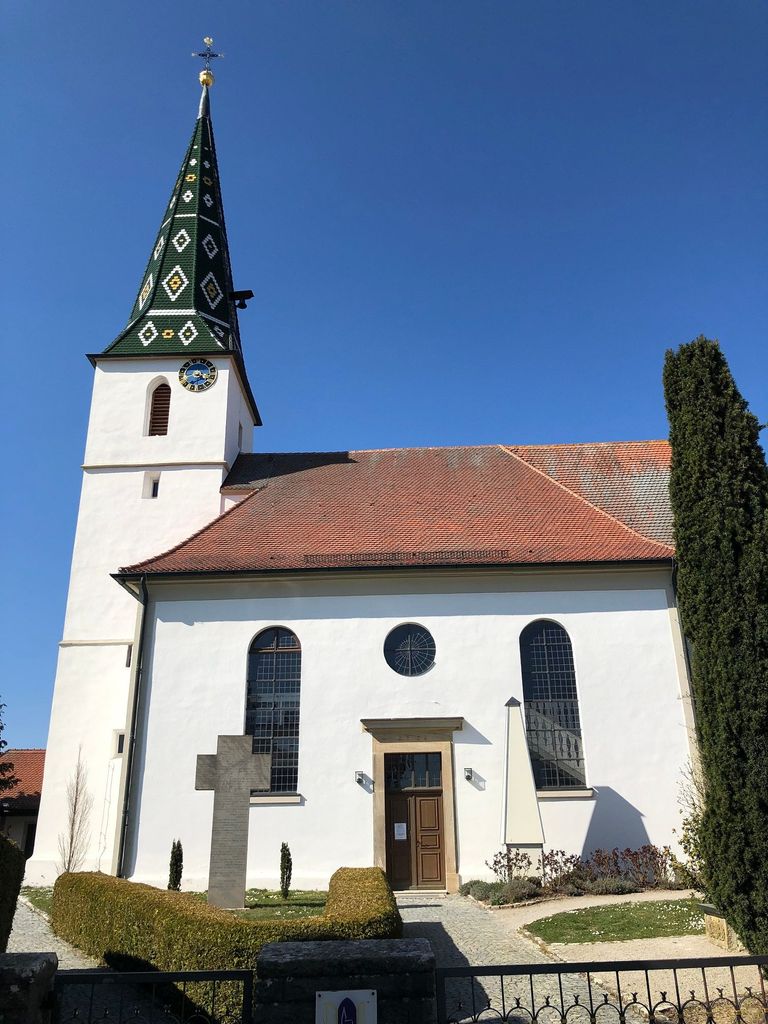
| Location | : | Weissenkirchberg, Landkreis Ansbach, Germany |
| Website | : | www.weissenkirchberg.de/ |
| Coordinate | : | 49.2714885, 10.3384210 |
frequently asked questions (FAQ):
-
Where is Friedhof Weissenkirchberg-Brunst?
Friedhof Weissenkirchberg-Brunst is located at Kirchbuck 15 Weissenkirchberg, Landkreis Ansbach ,Bavaria (Bayern) , 91578Germany.
-
Friedhof Weissenkirchberg-Brunst cemetery's updated grave count on graveviews.com?
0 memorials
-
Where are the coordinates of the Friedhof Weissenkirchberg-Brunst?
Latitude: 49.2714885
Longitude: 10.3384210
Nearby Cemetories:
1. Friedhof Kloster Sulz
Kloster Sulz, Landkreis Ansbach, Germany
Coordinate: 49.2603319, 10.3101912
2. Friedhof Dombühl
Dombuhl, Landkreis Ansbach, Germany
Coordinate: 49.2548865, 10.2907465
3. St. Veit Lutheran Church Cemetery
Dombuhl, Landkreis Ansbach, Germany
Coordinate: 49.2549489, 10.2872245
4. Friedhof Gastenfelden
Gastenfelden (Buch am Wald), Landkreis Ansbach, Germany
Coordinate: 49.3160642, 10.2959667
5. Friedhof Leutershausen Mittelfranken
Leutershausen, Landkreis Ansbach, Germany
Coordinate: 49.3031320, 10.4037171
6. Friedhof Wörnitz
Wörnitz, Landkreis Ansbach, Germany
Coordinate: 49.2567417, 10.2422890
7. Friedhof Diebach-Oberoestheim
Oberoestheim, Landkreis Ansbach, Germany
Coordinate: 49.2861721, 10.2036907
8. Erzberg Cemetery
Erzberg, Landkreis Ansbach, Germany
Coordinate: 49.2396733, 10.2096363
9. Friedhof Colmberg
Colmberg, Landkreis Ansbach, Germany
Coordinate: 49.3531348, 10.4133476
10. Gailnau Cemetery
Untergailnau, Landkreis Ansbach, Germany
Coordinate: 49.2678533, 10.1887184
11. Friedhof Wildenholz
Wildenholz, Landkreis Ansbach, Germany
Coordinate: 49.2218480, 10.2031385
12. Friedhof Diebach
Diebach, Landkreis Ansbach, Germany
Coordinate: 49.3093394, 10.1865778
13. Friedhof Feuchtwangen
Feuchtwangen, Landkreis Ansbach, Germany
Coordinate: 49.1647772, 10.3325603
14. Friedhof Bockenfeld
Bockenfeld, Landkreis Ansbach, Germany
Coordinate: 49.3286696, 10.1967328
15. Friedhof Wettringen
Wettringen, Landkreis Ansbach, Germany
Coordinate: 49.2579900, 10.1574300
16. Friedhof Insingen
Insingen, Landkreis Ansbach, Germany
Coordinate: 49.3033533, 10.1619194
17. Gebsattel
Gebsattel, Landkreis Ansbach, Germany
Coordinate: 49.3503735, 10.1932641
18. Friedhof Neusitz
Neusitz, Landkreis Ansbach, Germany
Coordinate: 49.3714107, 10.2224423
19. Friedhof Schnelldorf
Schnelldorf, Landkreis Ansbach, Germany
Coordinate: 49.2013287, 10.1722141
20. Friedhof Sankt Leonhard
Rothenburg ob der Tauber, Landkreis Ansbach, Germany
Coordinate: 49.3619997, 10.1952344
21. Gedenkstein für die Opfer der Gasexplosion
Lehrberg, Landkreis Ansbach, Germany
Coordinate: 49.3452310, 10.5098440
22. Friedhof Lehrberg
Lehrberg, Landkreis Ansbach, Germany
Coordinate: 49.3439220, 10.5120000
23. Friedhof Gräfenbuch
Grafenbuch, Landkreis Ansbach, Germany
Coordinate: 49.3731206, 10.4759098
24. Waldfriedhof Ansbach
Ansbach, Stadtkreis Ansbach, Germany
Coordinate: 49.2897143, 10.5480893